
Claughton, village and civil parish in Wyre, Lancashire, UK
Posizione: Borough of Wyre
Coordinate GPS: 53.88542,-2.71081
Ultimo aggiornamento: 11 marzo 2025 alle 10:15
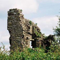
Greenhalgh Castle
3.7 km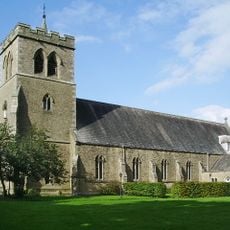
Church of St Mary and St Michael, Bonds
4.2 km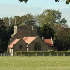
All Saints Church, Barnacre
3.3 km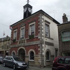
Market House
4.5 km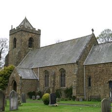
Church of St John Evangelist
2.9 km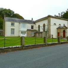
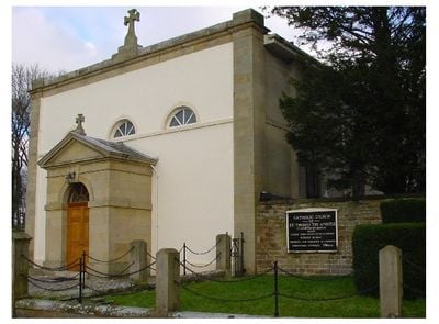
Church of St Thomas
1.3 km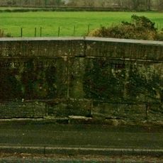
Calder Bridge
3.5 km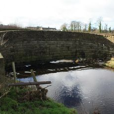
Bridge 52, Calder Aqueduct And Weir, Lancaster Canal
2.7 km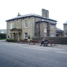
Brockholes Arms
3.4 km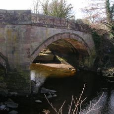
Garstang Bridge
4.3 km
Bridge 53, Lancaster Canal
2.7 km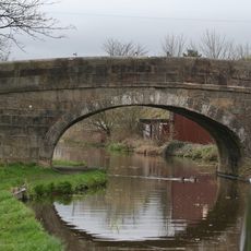
Ray Lane Bridge (No. 54)
2.5 km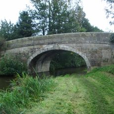
Stubbins Bridge (Number 51)
2.5 km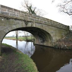
Claughton Lane Bridge (Number 49)
3.2 km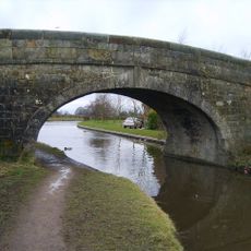
Byerworth Bridge (Number 60)
4.1 km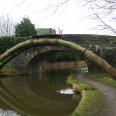
Dimples Bridge (Number 58)
3.7 km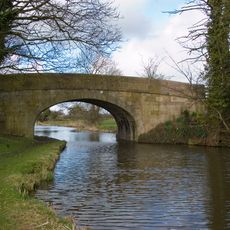
Ibbetsons Bridge (Number 48)
3.3 km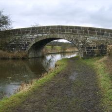
Greenhalgh Castle Bridge (No.57)
3.5 km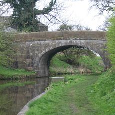
Town Croft Bridge (Number 50)
2.8 km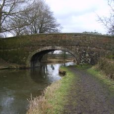
Turners Bridge (Number 56)
3.2 km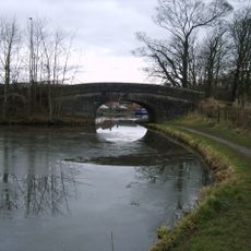
Garstang Turnpike Bridge
3.9 km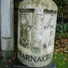
Milestone
3.9 km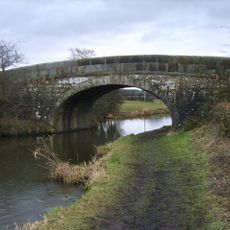
Dobsons Bridge (Number 55)
2.8 km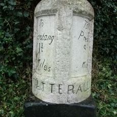
Milestone
3.4 km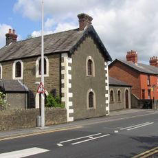
Arts Centre
4.6 km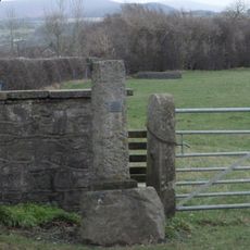
Cross
4.2 km
2 Pairs Of Piers With Linking Walls At Entrance To Drive To Myerscough House
3.3 km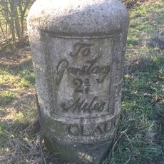
Milestone
3.3 kmHa visitato questo luogo? Tocchi le stelle per valutarlo e condividere la Sua esperienza o foto con la community! Provalo ora! Puoi annullarlo in qualsiasi momento.
Scopri tesori nascosti ad ogni viaggio!
Da piccoli caffè caratteristici a panorami nascosti, fuggi dalla folla e scova i posti che fanno davvero per te. La nostra app ti semplifica tutto: ricerca vocale, filtri furbi, percorsi ottimizzati e dritte autentiche da viaggiatori di tutto il mondo. Scaricala subito per vivere l'avventura sul tuo smartphone!

Un nuovo approccio alla scoperta turistica❞
— Le Figaro
Tutti i luoghi che meritano di essere esplorati❞
— France Info
Un’escursione su misura in pochi clic❞
— 20 Minutes