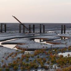
Dersingham Bog, Riserva naturale a Norfolk, Inghilterra.
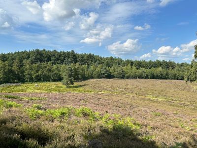
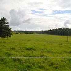
Dersingham Bog è una riserva naturale in Norfolk con tre habitat distinti: torbiera acida, brughiera e bosco distribuiti su circa 159 ettari. Il terreno presenta variazioni di elevazione e tipi di suolo, ciascuno con diverse comunità di piante e animali.
L'area si è originata durante il periodo Cretaceo inferiore, con depositi geologici che documentano antiche trasformazioni costiere a Norfolk. Questa storia antica ha plasmato la forma del paesaggio attuale e il suo caratterere ecologico.
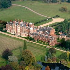
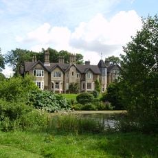
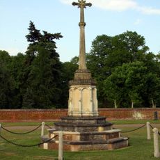
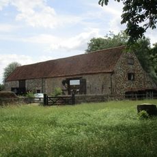
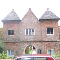
L'area è parte della tenuta reale di Sandringham e svolge un ruolo importante nella conservazione della regione di Norfolk. I visitatori possono vedere come le zone umide sostengono comunità di piante e animali rari.
L'accesso avviene tramite sentieri segnati da due aree di parcheggio a Wolferton e Scissors Cross con cartelli informativi lungo i percorsi. Indossare scarpe robuste in quanto il terreno diventa umido e scivoloso, soprattutto dopo la pioggia.
Il sito contiene il più grande torbiara acida della East Anglia e ospita specie rare come asfodeli di palude, piante di rugiada del sole e libellule nere. Queste condizioni specializzate si sviluppano attraverso la ritenzione d'acqua e il basso livello di acidità del suolo.
La comunità dei viaggiatori curiosi
AroundUs riunisce migliaia di luoghi selezionati, consigli locali e gemme nascoste, arricchiti ogni giorno da oltre 60,000 contributori in tutto il mondo.