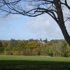
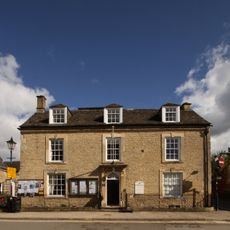
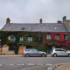
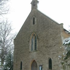
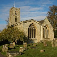
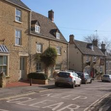
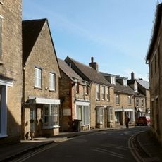
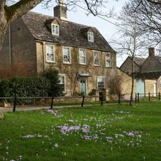
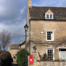
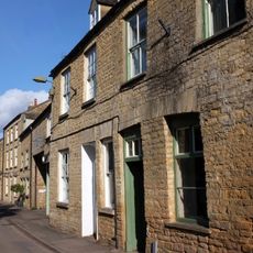
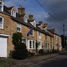
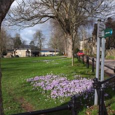
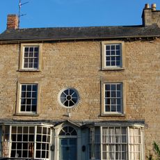
Cornbury and Wychwood, civil parish in West Oxfordshire, England
Posizione: West Oxfordshire
Confina con: Chilson, Ascott-under-Wychwood, Leafield, Ramsden, Finstock, Charlbury
Coordinate GPS: 51.85900,-1.45800
Ultimo aggiornamento: 6 marzo 2025 alle 04:23
Cornbury Park
1.7 km
Charlbury Museum
2.3 km
Bull Inn
2.3 km
Church of the Holy Trinity
2.1 km
St Mary's Church, Charlbury
2.4 km
Church of All Saints
5.1 km
1, Park Street
2.3 km
White Hart Public House
2.5 km
Charlbury Fountain
2.3 km
Finstock Manor House
1.8 km
Grandchester House
2.5 km
The Old Rectory
2.4 km
Hone House
2.2 km
Premises Occupied By The Good Food Shop And The Charlbury Clinic
2.2 km
Egypt
2.2 km
The Manor House
2.3 km
39, High Street
2.4 km
The Homestead
2.2 km
Queen's Own
2.4 km
Quaker Meeting House
2.4 km
10 and 11, Market Street
2.3 km
4-6, Dyers Hill
2.5 km
Iron Railings Surrounding The Playing Close
2.3 km
Gothic House
2.3 km
Milestone, Forest Road; Dyers Hill, half mile W of Charlbury Station
3.5 km
Milestone, Fawler Road; Cornbury Park, up hill from Finstock Station and 30m N of lay-by
1.1 km
Milestone, Rangers Lawn
4.9 km
Milestone, Charlbury Road; 100m N of jct at Manor House into village; opp new development of Manor Farm Business Park
1.7 kmRecensioni
Ha visitato questo luogo? Tocchi le stelle per valutarlo e condividere la Sua esperienza o foto con la community! Provalo ora! Puoi annullarlo in qualsiasi momento.
Scopri tesori nascosti ad ogni viaggio!
Da piccoli caffè caratteristici a panorami nascosti, fuggi dalla folla e scova i posti che fanno davvero per te. La nostra app ti semplifica tutto: ricerca vocale, filtri furbi, percorsi ottimizzati e dritte autentiche da viaggiatori di tutto il mondo. Scaricala subito per vivere l'avventura sul tuo smartphone!
Un nuovo approccio alla scoperta turistica❞
— Le Figaro
Tutti i luoghi che meritano di essere esplorati❞
— France Info
Un’escursione su misura in pochi clic❞
— 20 Minutes