
East Tuddenham, village in the United Kingdom
Posizione: Breckland District
Coordinate GPS: 52.65919,1.07407
Ultimo aggiornamento: 3 maggio 2025 alle 06:58
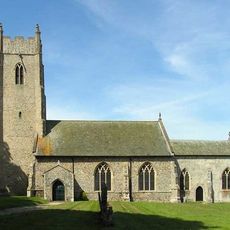
Church of St Andrew
3.4 km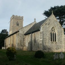
Church of St Andrew, Colton
3.1 km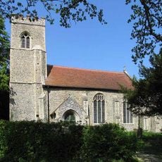
Church of All Saints
3.3 km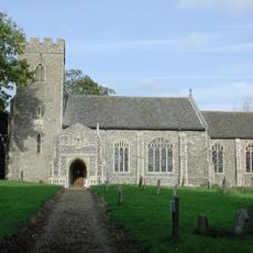
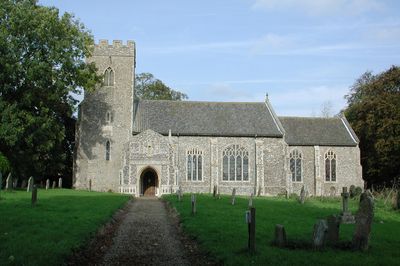
Church of All Saints
580 m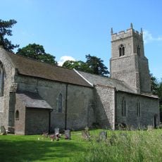
Church of St Michael
2.1 km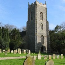
Church of St Peter and St Paul
3.5 km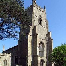
Church of All Saints
2.7 km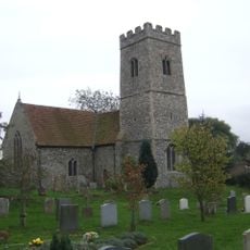
Church of St Peter
2.4 km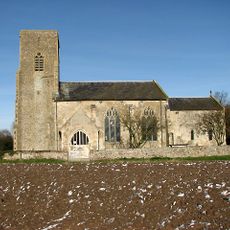
Church of St Botolph, Barford
4.2 km
Church of All Saints
5.7 km
Church of St Mary
2.9 km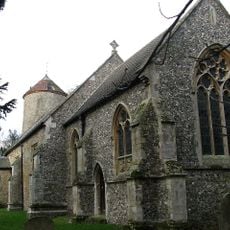
Church of All Saints
1.6 km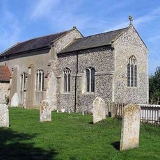
Church of St. Peter
5 km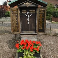
Honingham and East Tuddenham War Memorial
2.3 km
War Memorial at Church of St Botolph, Barford
4.2 km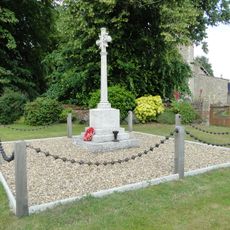
Weston Longville War Memorial
5.6 km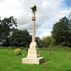
North Tuddenham War Memorial
2.9 km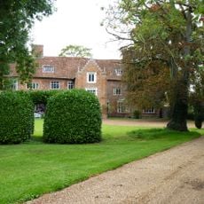
The Old Hall
3.2 km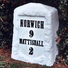
Milestone 2 Miles From Mattishall
339 m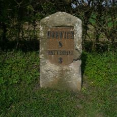
Milestone, 100m E of jct with Colton rd
1.9 km
Milestone, 32yds W of jct with A47, on bypassed section
1.5 km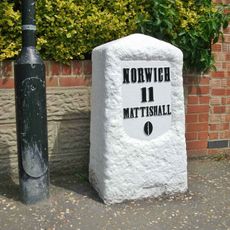
Milestone, Dereham Road
2.9 km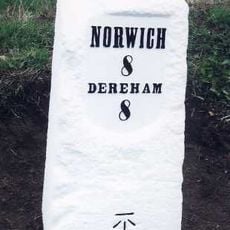
Milestone, Dereham Road, opp. No. 43
2.1 km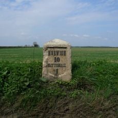
Milestone, 50yds E of X-rds (Church Lane & Blind Lane
1.2 km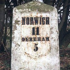
Milestone, E side of entrance to Poppy's Wood car park
3.3 km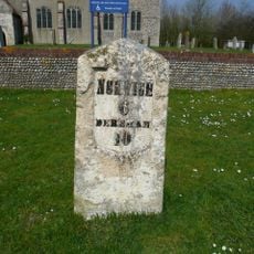
Milestone, by wall to St Peter's churchyard
5 km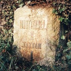
Milestone, 50yds W of entrance to No. 149 Dereham Rd
4.4 km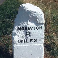
Milestone, 50yds W of Hill Farm
4.6 kmRecensioni
Ha visitato questo luogo? Tocchi le stelle per valutarlo e condividere la Sua esperienza o foto con la community! Provalo ora! Puoi annullarlo in qualsiasi momento.
Scopri tesori nascosti ad ogni viaggio!
Da piccoli caffè caratteristici a panorami nascosti, fuggi dalla folla e scova i posti che fanno davvero per te. La nostra app ti semplifica tutto: ricerca vocale, filtri furbi, percorsi ottimizzati e dritte autentiche da viaggiatori di tutto il mondo. Scaricala subito per vivere l'avventura sul tuo smartphone!

Un nuovo approccio alla scoperta turistica❞
— Le Figaro
Tutti i luoghi che meritano di essere esplorati❞
— France Info
Un’escursione su misura in pochi clic❞
— 20 Minutes