
Wateringbury, village and civil parish in Kent, United Kingdom
Posizione: Tonbridge and Malling
Confina con: Mereworth
Coordinate GPS: 51.25546,0.42316
Ultimo aggiornamento: 4 marzo 2025 alle 02:01

Mereworth Castle
2.3 km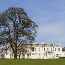
Barham Court
1.5 km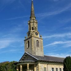
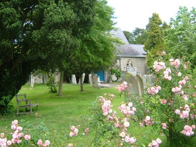
St Lawrence's Church, Mereworth
3.2 km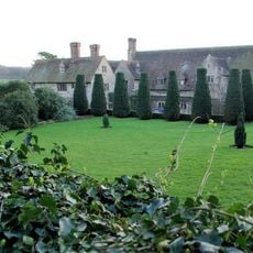
Nettlestead Place
1.6 km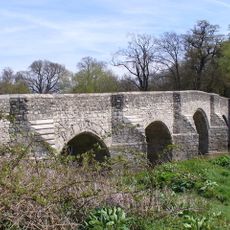
Teston Bridge
1.7 km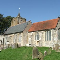
St Michael's Church, East Peckham
3.2 km
Oaken Wood
1.6 km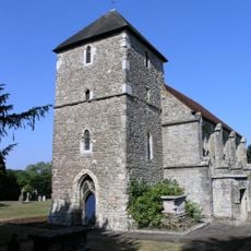
St Mary's Church, Nettlestead
1.5 km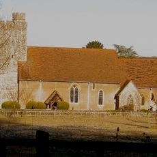
All Saints Church, West Farleigh
2.4 km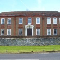
West Farleigh Hall
2.3 km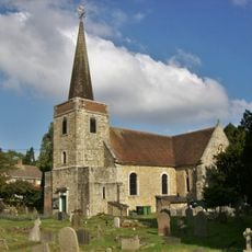
Church of St Peter and St Paul
1.4 km
Church of Saint John the Baptist
678 m
Triumphal Arch In Mereworth Park
2.6 km
Roydon Hall
3.1 km
Wateringbury Place
789 m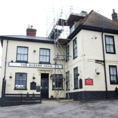
The Queens Head Public House
3.4 km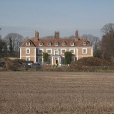
Yotes Court
4.2 km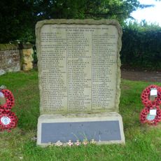
Mereworth War Memorial
3.2 km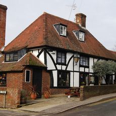
The Walnut Tree Public House
3.3 km
Control Tower
2.3 km
Wateringbury War Memorial Cross
688 m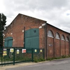
Former Goods Shed At Wateringbury Station
684 m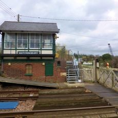
Wateringbury Signal Box
712 m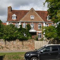
Court Lodge And The Dairy House
3.3 km
288-292, Old Road
1.5 km
Milestone, Tonbridge Road, W of Love Lane
499 m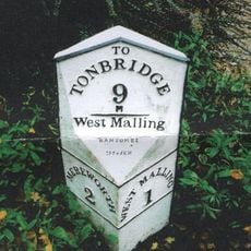
Milestone, King Hill, 300m N of roundabout on W Malling by-pass
3.5 km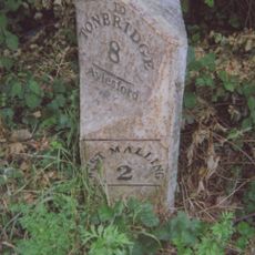
Milestone, Malling Road, N of crossroads with Kent Street, by entrance to log company(Kate Reed Wood)
3 kmHa visitato questo luogo? Tocchi le stelle per valutarlo e condividere la Sua esperienza o foto con la community! Provalo ora! Puoi annullarlo in qualsiasi momento.
Scopri tesori nascosti ad ogni viaggio!
Da piccoli caffè caratteristici a panorami nascosti, fuggi dalla folla e scova i posti che fanno davvero per te. La nostra app ti semplifica tutto: ricerca vocale, filtri furbi, percorsi ottimizzati e dritte autentiche da viaggiatori di tutto il mondo. Scaricala subito per vivere l'avventura sul tuo smartphone!

Un nuovo approccio alla scoperta turistica❞
— Le Figaro
Tutti i luoghi che meritano di essere esplorati❞
— France Info
Un’escursione su misura in pochi clic❞
— 20 Minutes