
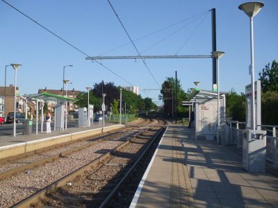
Fieldway, tramstop in New Addington, London Borough of Croydon, UK
Posizione: London Borough of Croydon
Inaugurazione ufficiale: 2000
Indirizzo: Lodge Lane, New Addington, Croydon, Surrey
Coordinate GPS: 51.35090,-0.02421
Ultimo aggiornamento: 13 marzo 2025 alle 12:41
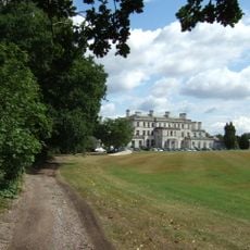
Addington Palace
1.4 km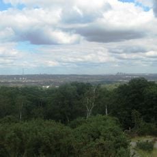
Addington Hills
2.7 km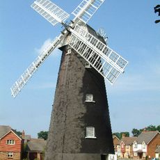
Shirley Windmill
2.9 km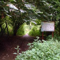
Selsdon Wood
2.1 km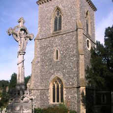
Church of St Mary Addington
1 km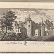
Wickham Court
2.1 km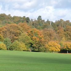
Addington Park
1.1 km
Hutchinson's Bank
1.5 km
Bramley Bank
2.4 km
New Addington Library
1.3 km
Heathfield
2.3 km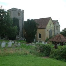
Church of St John the Baptist
2.1 km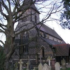
Church of St John
2.9 km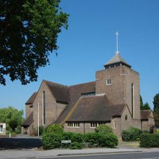
Church of All Saints
2.7 km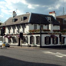
The Swan
2.9 km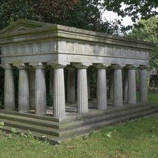
Monument To Members Of The Preston Family In North West Corner Of Churchyard Of St John
2.9 km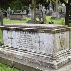
Tomb of parents of John Ruskin
2.9 km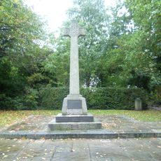
West Wickham War Memorial
2.5 km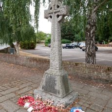
Addington War Memorial
988 m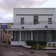
77, Addington Road
2.6 km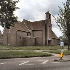
St Edward King and Confessor
1.5 km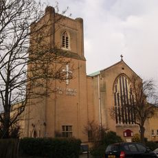
St Francis of Assisi
2.9 km
West Wickham Library
2.9 km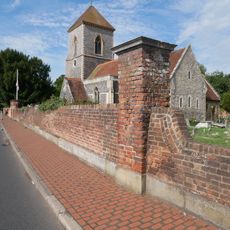
Walls Along South Boundary Of Churchyard Of Church Of St Mary
991 m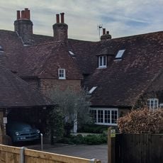
The Rectory
2.8 km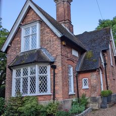
Lodge Opposite Wickham Court
2.2 km
Lych-gate to Church of St John the Baptist's Churchyard
2.1 km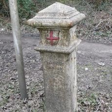
Coal Tax Post On The Junction Between King Henry's Drive And Boundary Line
2.6 kmRecensioni
Ha visitato questo luogo? Tocchi le stelle per valutarlo e condividere la Sua esperienza o foto con la community! Provalo ora! Puoi annullarlo in qualsiasi momento.
Scopri tesori nascosti ad ogni viaggio!
Da piccoli caffè caratteristici a panorami nascosti, fuggi dalla folla e scova i posti che fanno davvero per te. La nostra app ti semplifica tutto: ricerca vocale, filtri furbi, percorsi ottimizzati e dritte autentiche da viaggiatori di tutto il mondo. Scaricala subito per vivere l'avventura sul tuo smartphone!

Un nuovo approccio alla scoperta turistica❞
— Le Figaro
Tutti i luoghi che meritano di essere esplorati❞
— France Info
Un’escursione su misura in pochi clic❞
— 20 Minutes