
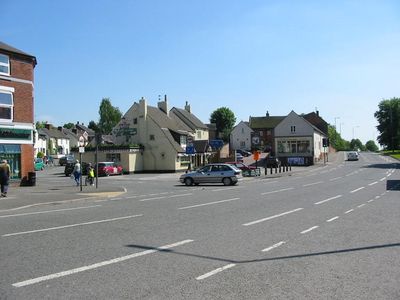
Etwall, village and civil parish in South Derbyshire, England
Posizione: South Derbyshire
Confina con: Dalbury Lees, Ash, Hilton, Egginton, Willington, Burnaston, Bearwardcote, Radbourne
Coordinate GPS: 52.88400,-1.60200
Ultimo aggiornamento: 3 marzo 2025 alle 21:26
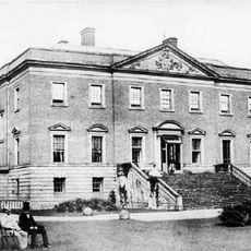
Radbourne Hall
4.1 km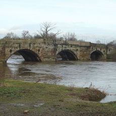
Monks Bridge
4.9 km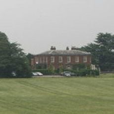
Dovecliff Hall
4.6 km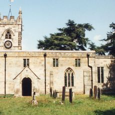
St Andrew's Church, Radbourne
4.4 km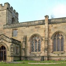
Church of St Helen
78 m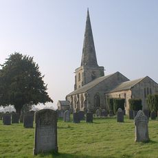
St Mary's Church, Marston on Dove
4.2 km
St Wilfrid's Church, Egginton
4.1 km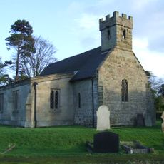
All Saints' Church, Dalbury
2.4 km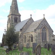
St Michael's Church, Sutton-on-the-Hill
3.9 km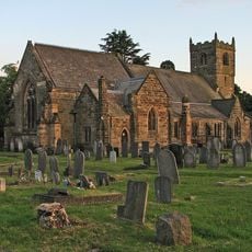
Church of All Saints
4.3 km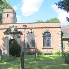
All Saints Church
3.9 km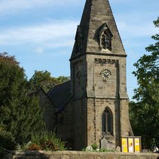
Church of All Saints
4.3 km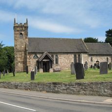
Church of St Michael
4.6 km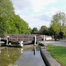
Stenson Lock And Attached Bridge To East
6 km
Church At Pastures Hospital
3.2 km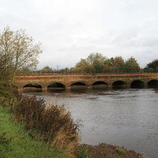
Dove Aqueduct
5 km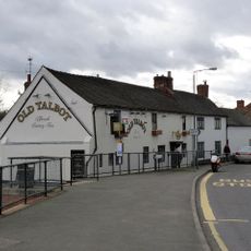
The Old Talbot Inn
2.6 km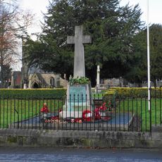
Mickleover War Memorial
4.3 km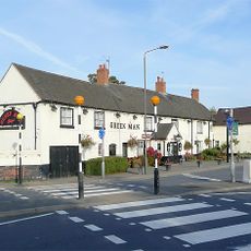
The Green Man
4.2 km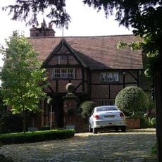
Old Hall
4.2 km
Canal Bridge At Os 321300
5.5 km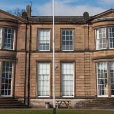
Derby Independent Grammar School
5.1 km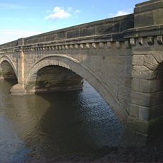
Willington Bridge
4.9 km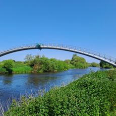
Newton Solney pipe bridge
5.5 km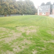
Section of Rykneld Street Roman road and remains of Bronze Age cemetery at Littleover
6 km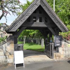
Lychgate and Churchyard Wall at St Wystans Church
5.8 km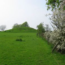
Hoon Mount platformed bowl barrow
3.9 km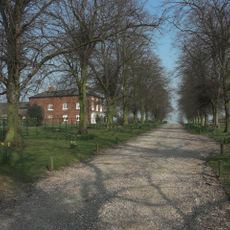
Willington Hill Farmhouse
3.6 kmRecensioni
Ha visitato questo luogo? Tocchi le stelle per valutarlo e condividere la Sua esperienza o foto con la community! Provalo ora! Puoi annullarlo in qualsiasi momento.
Scopri tesori nascosti ad ogni viaggio!
Da piccoli caffè caratteristici a panorami nascosti, fuggi dalla folla e scova i posti che fanno davvero per te. La nostra app ti semplifica tutto: ricerca vocale, filtri furbi, percorsi ottimizzati e dritte autentiche da viaggiatori di tutto il mondo. Scaricala subito per vivere l'avventura sul tuo smartphone!

Un nuovo approccio alla scoperta turistica❞
— Le Figaro
Tutti i luoghi che meritano di essere esplorati❞
— France Info
Un’escursione su misura in pochi clic❞
— 20 Minutes