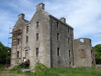
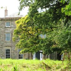
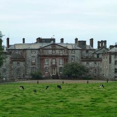
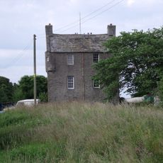
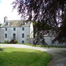
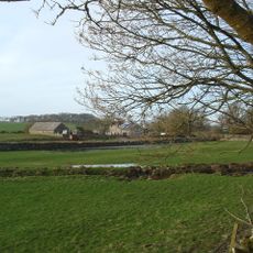
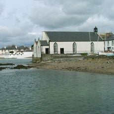
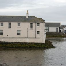
Glasserton, Scottish parish in Dumfries and Galloway, Scotland, UK
Posizione: Dumfries and Galloway
Confina con: Mochrum, Whithorn, Kirkinner, Sorbie
Coordinate GPS: 54.73558,-4.48365
Ultimo aggiornamento: 7 marzo 2025 alle 01:59
Monreith House
5.1 km
Galloway House
8.9 km
Sorbie Tower
8 km
Whithorn Priory
4.2 km
Cruggleton Castle
8.5 km
St Ninian's Cave
5.1 km
Drumtroddan Standing Stones
5.2 km
The Wren's Egg, two standing stones 18m ENE and two standing stones 406m SSE of
4.3 km
Old Place of Monreith
3.1 km
Barsalloch Fort
5.5 km
Cruggleton Old Parish Church and Burial Ground
7.9 km
Fell of Barhullion
3 km
Ravenstone Castle
3.6 km
55–57 George Street, Whithorn
4.4 km
Isle Of Whithorn Castle
8.5 km
Glasserton Parish Church And Churchyard
3.2 km
Tonderghie House
6.5 km
Drumtroddan Cup and Ring Marks
5.6 km
Swallow Theatre
3.2 km
St Martin and St Ninian Catholic Church
4.4 km
The Whithorn Trust
4.4 km
Whithorn, 65-69 George Street, Old Town Hall
4.3 km
St John's Church, St John's Street, Whithorn
4.5 km
Isle Of Whithorn, Main Street, Isle Parish Church
8.8 km
Walled Churchyard at Kirkmaiden Old Church
3.7 km
Sea Breeze With Sea Wall, 9 Main Street, Isle Of Whithorn
8.6 km
Session House, Glasserton Parish Churchyard
3.2 km
Whithorn, 57 George Street, Pend House And Whithorn Priory Gateway
4.4 kmHa visitato questo luogo? Tocchi le stelle per valutarlo e condividere la Sua esperienza o foto con la community! Provalo ora! Puoi annullarlo in qualsiasi momento.
Scopri tesori nascosti ad ogni viaggio!
Da piccoli caffè caratteristici a panorami nascosti, fuggi dalla folla e scova i posti che fanno davvero per te. La nostra app ti semplifica tutto: ricerca vocale, filtri furbi, percorsi ottimizzati e dritte autentiche da viaggiatori di tutto il mondo. Scaricala subito per vivere l'avventura sul tuo smartphone!
Un nuovo approccio alla scoperta turistica❞
— Le Figaro
Tutti i luoghi che meritano di essere esplorati❞
— France Info
Un’escursione su misura in pochi clic❞
— 20 Minutes