
Swingfield, village and civil parish in Shepway, Kent, England
Posizione: Folkestone and Hythe
Coordinate GPS: 51.14640,1.18972
Ultimo aggiornamento: 4 marzo 2025 alle 10:38
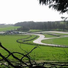
Circuito di Lydden Hill
3.5 km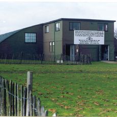
Kent Battle of Britain Museum
4.6 km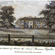
Acrise Place
4 km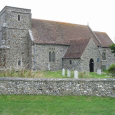
St Mary's Church, Capel-le-Ferne
4.2 km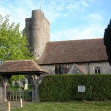
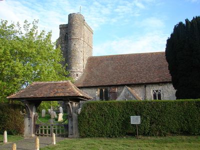
St Peter's Church, Swingfield
91 m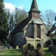
Church of St Martin
4 km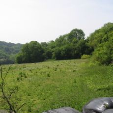
Alkham, Lydden and Swingfield Woods
2.8 km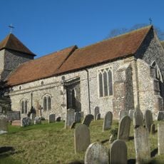
Church of St Anthony the Martyr
2.6 km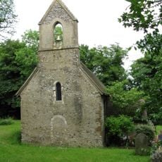
Church of St Michael
3.7 km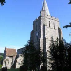
Church of St Mary the Virgin
5.5 km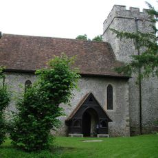
Church of St Mary Magdalene
3.7 km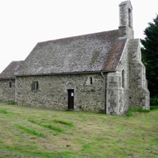
St Oswald's Church, Paddlesworth
5.2 km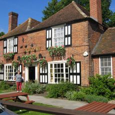
The Jackdaw Inn
4.2 km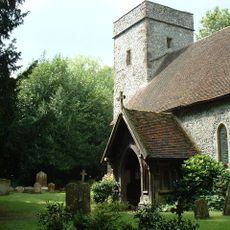
Church of St Martin
3.2 km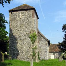
Church of St Mary Church of St Mary Virgin
4 km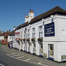
The Rose And Crown Inn
5.5 km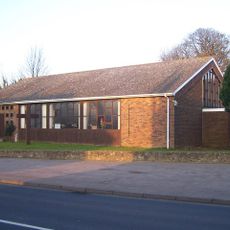
St Luke's
3.9 km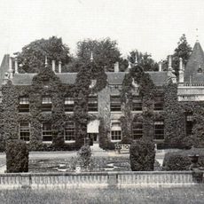
Denton Court And Entrance Court
3.6 km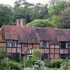
Tappington Hall
3.6 km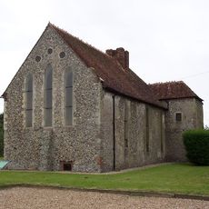
Swingfield Preceptory
604 m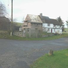
Parsonage Farmhouse
5.2 km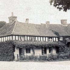
The Old Bakery
4.1 km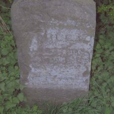
Milestone, Canterbury Road, Selsted, 200m N of jct with Mansell Lane
1.6 km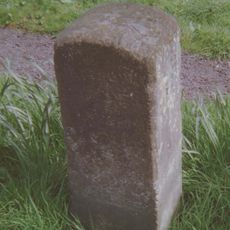
Milestone, The Street, S of village and N of jct with Denton Lane (to Wootten)
4 km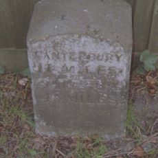
Milestone, Canterbury Road, Swingfield Minnis, by "Thornedene"
2 km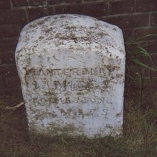
Milestone, Canterbury Road, N of Coombe Lane, by Milestone Caravans
3.9 km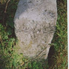
Milestone, bottom of Lydden Hill, N of Bell Farm, opp. Swanton Lane
3.7 km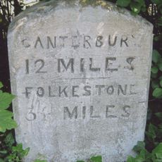
Milestone, Canterbury Road, Densole, opp No. 289
3.1 kmHa visitato questo luogo? Tocchi le stelle per valutarlo e condividere la Sua esperienza o foto con la community! Provalo ora! Puoi annullarlo in qualsiasi momento.
Scopri tesori nascosti ad ogni viaggio!
Da piccoli caffè caratteristici a panorami nascosti, fuggi dalla folla e scova i posti che fanno davvero per te. La nostra app ti semplifica tutto: ricerca vocale, filtri furbi, percorsi ottimizzati e dritte autentiche da viaggiatori di tutto il mondo. Scaricala subito per vivere l'avventura sul tuo smartphone!

Un nuovo approccio alla scoperta turistica❞
— Le Figaro
Tutti i luoghi che meritano di essere esplorati❞
— France Info
Un’escursione su misura in pochi clic❞
— 20 Minutes