
Holwell, village and a civil parish in North Hertfordshire, England
Posizione: North Hertfordshire
Coordinate GPS: 51.98330,-0.30000
Ultimo aggiornamento: 9 marzo 2025 alle 03:36
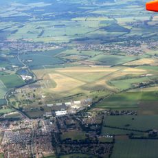
RAF Henlow
3.6 km
Hitchin Flyover
2.9 km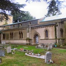
Church of St Katherine
2 kmOughtonhead Common
2.5 km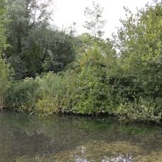
Oughtonhead Nature Reserve
2.6 km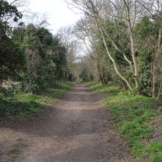
Oughtonhead Lane
3.1 km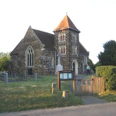
Church of All Saints
3.1 km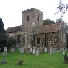
Church of St Mary the Virgin
4.5 km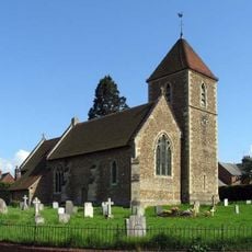
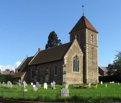
Church of St Peter (C of E) at Corner with Holwell Road
434 m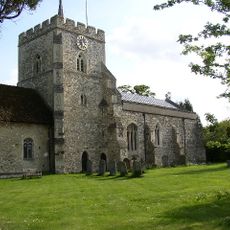
Church of St Mary (Church of England)
2.5 km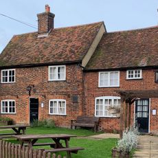
The Fox Inn
2.5 km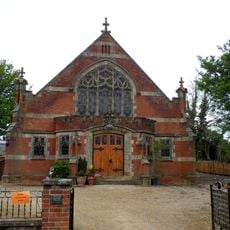
Pirton Methodist Church
2.6 km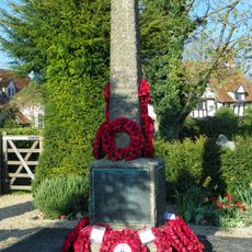
Pirton War Memorial, Hertfordshire
2.5 km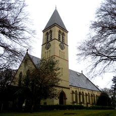
Church At Fairfield Hospital
4.2 km
32 And 33, Bancroft
3.9 km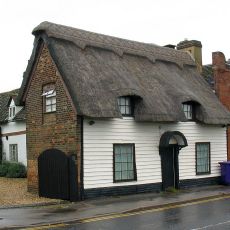
91, Woolgrove Road
3.9 km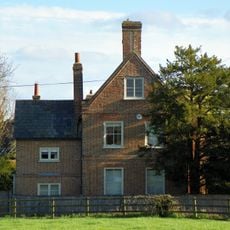
Walnut Tree Farmhouse
2.5 km
34, Bancroft
3.9 km
30, Bancroft
3.9 km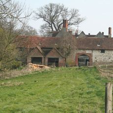
High Down House With Buildings And Walls Around Courtyard On North Side
3.5 km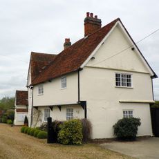
Church Farmhouse
502 m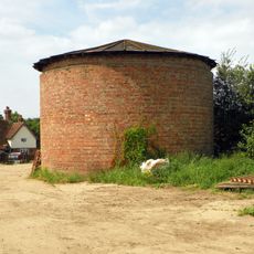
Cadwell Farmhouse
2.1 km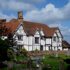
Manor House
4.5 km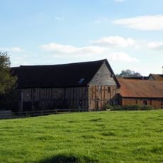
Farmbuildings Fronting Road At Walnut Tree Farm
2.6 km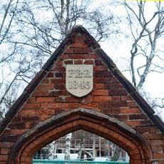
Gateway And Frontage Wall To Ickleford Jmi School
2 km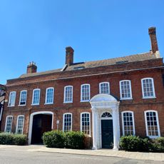
Manor House Galleries
4 km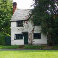
Three Gables
2.7 km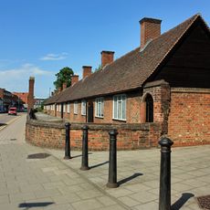
Entrance Court Wall And Gateways To Skynner's Almshouses Skynner's Almshouses
3.9 kmHa visitato questo luogo? Tocchi le stelle per valutarlo e condividere la Sua esperienza o foto con la community! Provalo ora! Puoi annullarlo in qualsiasi momento.
Scopri tesori nascosti ad ogni viaggio!
Da piccoli caffè caratteristici a panorami nascosti, fuggi dalla folla e scova i posti che fanno davvero per te. La nostra app ti semplifica tutto: ricerca vocale, filtri furbi, percorsi ottimizzati e dritte autentiche da viaggiatori di tutto il mondo. Scaricala subito per vivere l'avventura sul tuo smartphone!

Un nuovo approccio alla scoperta turistica❞
— Le Figaro
Tutti i luoghi che meritano di essere esplorati❞
— France Info
Un’escursione su misura in pochi clic❞
— 20 Minutes