
Kirtlington, village and civil parish in Cherwell district, Oxfordshire, England
Posizione: Cherwell District
Coordinate GPS: 51.87346,-1.27487
Ultimo aggiornamento: 6 marzo 2025 alle 03:27

Middleton Park, Oxfordshire
4.3 km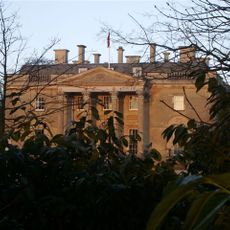
Bletchingdon Park
1.7 km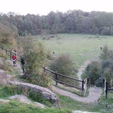
Kirtlington Quarry
650 m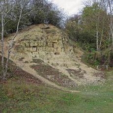
White Limestone Formation
650 m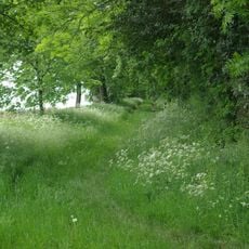
Aves ditch
3.5 km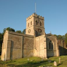
Church of St Nicholas
2.5 km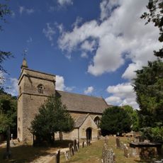
Church of St Giles, Bletchingdon
1.7 km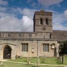
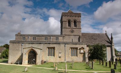
Church of St Mary, Kirtlington
185 m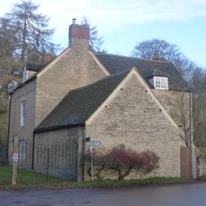
Park Gate House
1.9 km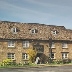
The Blacks Head Public House
2 km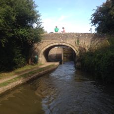
Oxford Canal Bridge At Pigeons Lock
1.4 km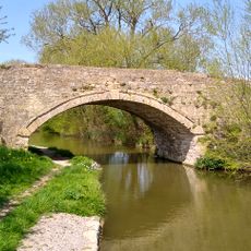
Bridge 400 Metres North Of Dashwood Lock
3.6 km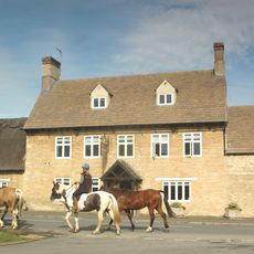
The Dashwood Arms Public House
27 m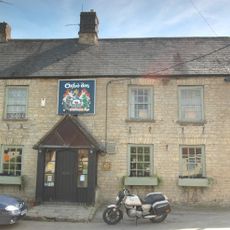
The Oxford Arms Public House And Adjoining Cottage
190 m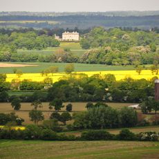
Kirtlington Park
817 m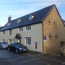
The Post Office Stores
2.1 km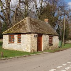
Squirrel's Drey
2.1 km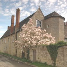
The Manor House And Attached Outbuilding Range
64 m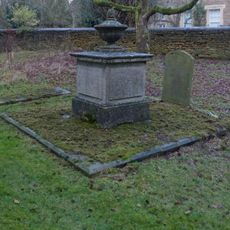
Chest tomb approximately 6 metres east of chancel of Church of St Giles
1.7 km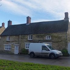
Monk's Head
2 km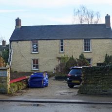
The Malt House
2 km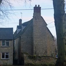
Village Farmhouse
2.1 km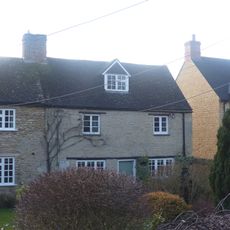
Glendale
2.1 km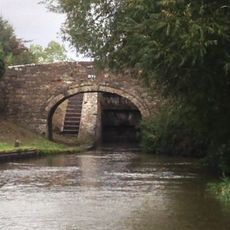
Oxford Canal Northbrook Bridge (That Part In Kirtlington Civil Parish)
2.5 km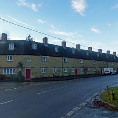
The Row
2.1 km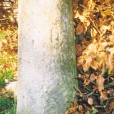
Milestone, Church Road; end of drive to Church Road House
1.8 km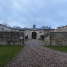
Bletchingdon Park, stables and attached walls approximately 150 metres east north east of Bletchingdon Park
1.7 km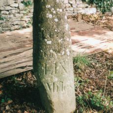
Milestone, by Church, on lane by Bletchingdon Park, in front of wall around church
1.8 kmRecensioni
Ha visitato questo luogo? Tocchi le stelle per valutarlo e condividere la Sua esperienza o foto con la community! Provalo ora! Puoi annullarlo in qualsiasi momento.
Scopri tesori nascosti ad ogni viaggio!
Da piccoli caffè caratteristici a panorami nascosti, fuggi dalla folla e scova i posti che fanno davvero per te. La nostra app ti semplifica tutto: ricerca vocale, filtri furbi, percorsi ottimizzati e dritte autentiche da viaggiatori di tutto il mondo. Scaricala subito per vivere l'avventura sul tuo smartphone!

Un nuovo approccio alla scoperta turistica❞
— Le Figaro
Tutti i luoghi che meritano di essere esplorati❞
— France Info
Un’escursione su misura in pochi clic❞
— 20 Minutes