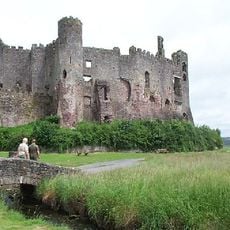
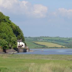
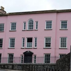
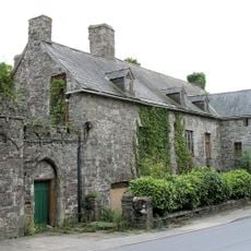
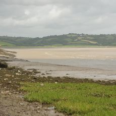
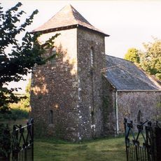
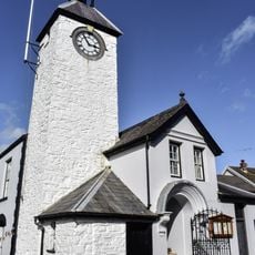
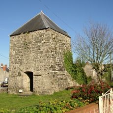
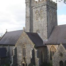
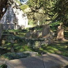
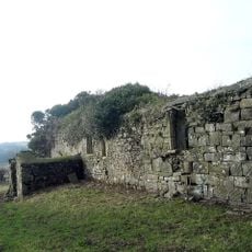
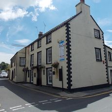
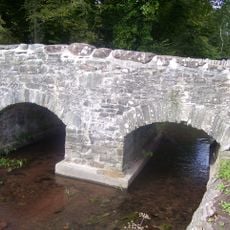
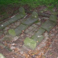
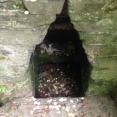
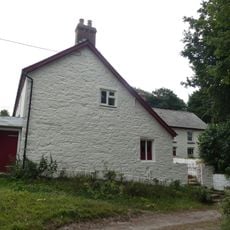
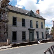
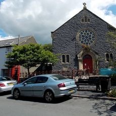
Laugharne Township, community in Carmarthenshire, Wales
Posizione: Carmarthenshire
Coordinate GPS: 51.77100,-4.46200
Ultimo aggiornamento: 5 marzo 2025 alle 07:49
Pendine Sands
4.9 km
Castello di Laugharne
267 m
Dylan Thomas Boathouse
422 m
Castle House
90 m
Island House
186 m
Taf estuary
6.2 km
St Odoceus' Church, Llandawke
2 km
Laugharne Town Hall
69 m
Hen Gapel
3.8 km
St Martin's Church, Laugharne
535 m
Grave of Dylan Thomas
479 m
Ruins of former St Michael's Parish Church
2.4 km
Church of St Sadwrnen
2.2 km
Castell Cogan
3.9 km
Churchyard at St.Martin's Parish Church, Church Street
554 m
Church of St Teilo
2.2 km
Seaview
89 m
New Three Mariners P.H. Victoria Street
28 m
Coran Bridge,Newbridge Street
138 m
Pilgrims Graves By Ruins Of St Michael's Church
2.4 km
St Anthony's Well
4.5 km
Lord's Park
3.8 km
Great House, King Street
175 m
Pilgrim's Graves S Of Ruins Of St Michaels Church
2.4 km
Strand House, The Strand
377 m
Gazebo in grounds of Laugharne Castle
163 m
Holy Trinity Church
3.6 km
New Congregational Chapel
77 mRecensioni
Ha visitato questo luogo? Tocchi le stelle per valutarlo e condividere la Sua esperienza o foto con la community! Provalo ora! Puoi annullarlo in qualsiasi momento.
Scopri tesori nascosti ad ogni viaggio!
Da piccoli caffè caratteristici a panorami nascosti, fuggi dalla folla e scova i posti che fanno davvero per te. La nostra app ti semplifica tutto: ricerca vocale, filtri furbi, percorsi ottimizzati e dritte autentiche da viaggiatori di tutto il mondo. Scaricala subito per vivere l'avventura sul tuo smartphone!
Un nuovo approccio alla scoperta turistica❞
— Le Figaro
Tutti i luoghi che meritano di essere esplorati❞
— France Info
Un’escursione su misura in pochi clic❞
— 20 Minutes