
Lound, village and civil parish in East Suffolk, United Kingdom
Posizione: East Suffolk
Coordinate GPS: 52.53060,1.69188
Ultimo aggiornamento: 3 marzo 2025 alle 08:33
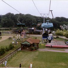
Pleasurewood Hills
4.4 km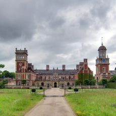
Somerleyton Hall
1.7 km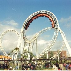
Wipeout
4.3 km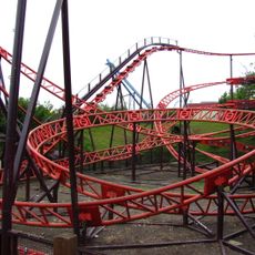
Cannonball Express
4.5 km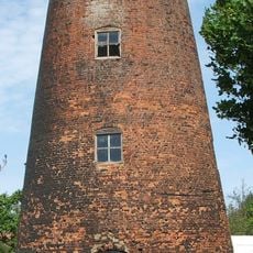
Blundeston Windmill
1.9 km
Corton Windmill
4 km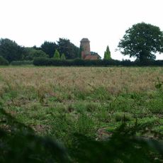
Lound Windmill
1.6 km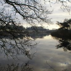
Lound Lakes
2.2 km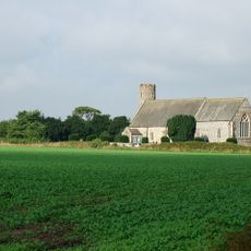
Church of St Mary
1.9 km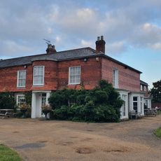
Parkhill Hotel
3.9 km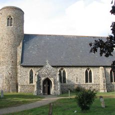
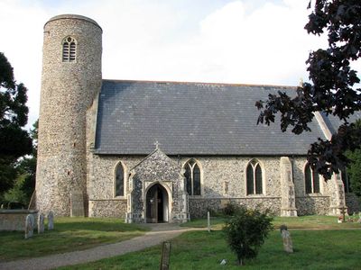
Church of St John the Baptist
146 m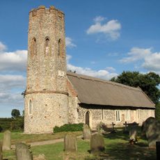
Church of St Mary
1.5 km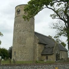
Church of St Margaret
3 km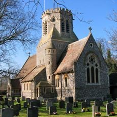
Church of St Margaret
2.2 km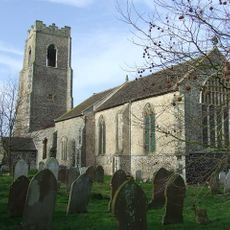
Church of St Bartholomew
3.4 km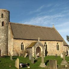
Church of St Edmund
3.4 km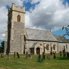
Church of St Mary
2.1 km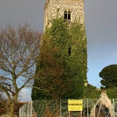
Old St Margaret's Church
2.7 km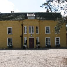
Fritton Old Hall
3.1 km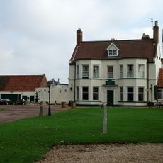
Browston Hall Hotel
2.9 km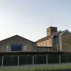
Saint Mary Magdalene
4.8 km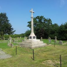
Blundeston War Memorial
1.9 km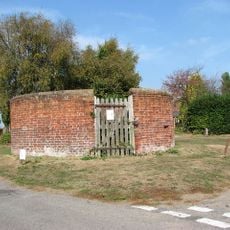
Pound At Junction With Pound Lane
1.9 km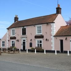
The Plough
2 km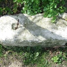
Milestone, by-passed section of A12 now cul-de-sac, c.80yds N of gate blocking vehicle access
2.3 km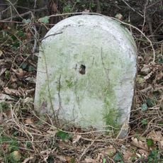
Milestone, Yarmouth Road, Blundeston
3 km
Milestone, 10yds S of Fritton Hall Lodge
3.3 km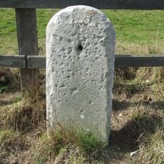
Milestone, Yarmouth Road, opp. High View
2.3 kmHa visitato questo luogo? Tocchi le stelle per valutarlo e condividere la Sua esperienza o foto con la community! Provalo ora! Puoi annullarlo in qualsiasi momento.
Scopri tesori nascosti ad ogni viaggio!
Da piccoli caffè caratteristici a panorami nascosti, fuggi dalla folla e scova i posti che fanno davvero per te. La nostra app ti semplifica tutto: ricerca vocale, filtri furbi, percorsi ottimizzati e dritte autentiche da viaggiatori di tutto il mondo. Scaricala subito per vivere l'avventura sul tuo smartphone!

Un nuovo approccio alla scoperta turistica❞
— Le Figaro
Tutti i luoghi che meritano di essere esplorati❞
— France Info
Un’escursione su misura in pochi clic❞
— 20 Minutes