
Mumby, human settlement in United Kingdom
Posizione: East Lindsey
Confina con: Huttoft
Coordinate GPS: 53.24370,0.27018
Ultimo aggiornamento: 8 marzo 2025 alle 07:11


Alford Windmill
6.2 km
Skegness Stadium
6.4 km
St. Wilfrid's Church, Alford
6.3 km
Corn Exchange
6.3 km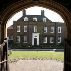
Hanby Hall
6.1 km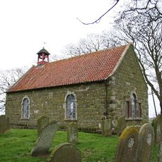
Church of St Andrew
5.4 km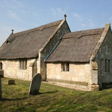
Church of St Peter
5.4 km
Church of St Thomas of Canterbury
179 m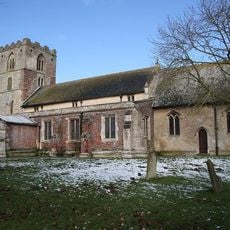
Church of St Mary
2.7 km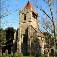
Church of St Leonard
4.3 km
Church of the Holy Trinity
5.5 km
Church of St Nicholas
6.2 km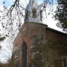
Church of St Helen
1.1 km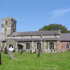
Church of St Margaret
2.2 km
Church of St Helen
4.8 km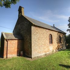
Church of St Andrew
4.1 km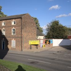
8, Church Street
6.2 km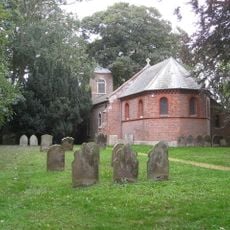
Church of St Andrew
1.4 km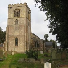
Church of St Peter and St Paul
7 km
Ingoldmells War Memorial in Churchyard to Church of St Peter and St Paul
7 km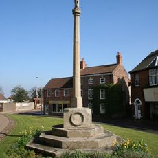
Alford War Memorial Cross
6.3 km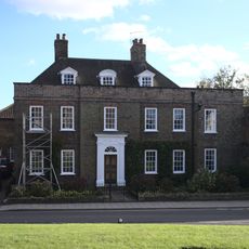
Ivy House
6.2 km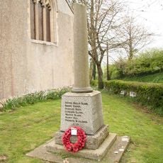
Bilsby War Memorial
5.5 km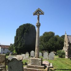
Cross In Churchyard, South Side
2.2 km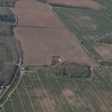
Castle Hill: a motte castle 250m east of Hanby Hall Farm
5.9 km
Barclays Bank
6.3 km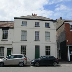
Pj Bedford
6.3 km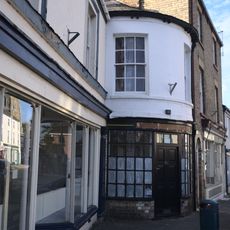
Cb And M Sutton
6.3 kmRecensioni
Ha visitato questo luogo? Tocchi le stelle per valutarlo e condividere la Sua esperienza o foto con la community! Provalo ora! Puoi annullarlo in qualsiasi momento.
Scopri tesori nascosti ad ogni viaggio!
Da piccoli caffè caratteristici a panorami nascosti, fuggi dalla folla e scova i posti che fanno davvero per te. La nostra app ti semplifica tutto: ricerca vocale, filtri furbi, percorsi ottimizzati e dritte autentiche da viaggiatori di tutto il mondo. Scaricala subito per vivere l'avventura sul tuo smartphone!

Un nuovo approccio alla scoperta turistica❞
— Le Figaro
Tutti i luoghi che meritano di essere esplorati❞
— France Info
Un’escursione su misura in pochi clic❞
— 20 Minutes