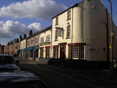
Nether Edge & Sharrow, electoral ward of Sheffield City Council
Posizione: Sheffield
Coordinate GPS: 53.35500,-1.48300
Ultimo aggiornamento: 16 marzo 2025 alle 04:26
Sheffield General Cemetery
1.6 km
Medina Mosque
1.2 km
Bishops' House
941 m
Abbeydale Picture House
531 m
Mount Pleasant
1.4 km
Chelsea Park
1.3 km
Heeley City Farm
1.3 km
St Paul's Church and Centre, Norton Lees, Sheffield
867 m
Heeley City Farm
1.3 km
Hutcliff Wood
1.6 km
Christ Church
1.2 km
Church of St Oswald
565 m
Monument To Mark Firth 60 Metres East Of New Chapel At General Cemetery
1.6 km
Church of Holy Trinity
1.4 km
Old Chapel at General Cemetery
1.6 km
Monument To William Parker 40 Metres South West Of Old Chapel At General Cemetery
1.6 km
Sewer Gas Lamp at Junction with Rushdale Road
1.2 km
James Nicholson Memorial In General Cemetery
1.6 km
Highfield Library
1.4 km
Sewer Gas Lamp
1 km
Highfield Trinity Anglican And Methodist Church And Boundary Wall
1.4 km
Sewer Gas Lamp at Junction with Nicholson Road
1.2 km
Sewer Gas Lamp at Junction with London Road
1.6 km
Sewer Gas Destructor Lamp
1.6 km
New Chapel At General Cemetery
1.6 km
Sewer Gas Lamp Opposite Junction With Union Road
858 m
Former Stables And Coach House At Number 3 Mount Pleasant Community Centre
1.4 km
Sewer Gas Lamp at Junction with Frog Walk
1.4 kmHa visitato questo luogo? Tocchi le stelle per valutarlo e condividere la Sua esperienza o foto con la community! Provalo ora! Puoi annullarlo in qualsiasi momento.
Scopri tesori nascosti ad ogni viaggio!
Da piccoli caffè caratteristici a panorami nascosti, fuggi dalla folla e scova i posti che fanno davvero per te. La nostra app ti semplifica tutto: ricerca vocale, filtri furbi, percorsi ottimizzati e dritte autentiche da viaggiatori di tutto il mondo. Scaricala subito per vivere l'avventura sul tuo smartphone!
Un nuovo approccio alla scoperta turistica❞
— Le Figaro
Tutti i luoghi che meritano di essere esplorati❞
— France Info
Un’escursione su misura in pochi clic❞
— 20 Minutes