Ogmore Valley, community in Bridgend County Borough, Wales, UK
Posizione: Bridgend County Borough
Coordinate GPS: 51.60192,-3.51767
Ultimo aggiornamento: 5 aprile 2025 alle 12:30
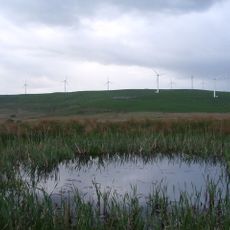
Mynydd Maendy
4.8 km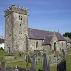
St Tyfodwg's Church
3.2 km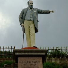
Statue of Sir Archibald Hood
5.1 km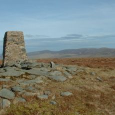
Cwm Llwyd
5.1 km
Former Co-operative Wholesale Society Building
1.7 km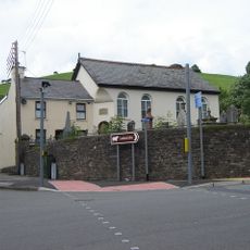
Paran Welsh Baptist Chapel
3.9 km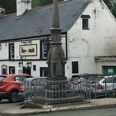
Blackmill War Memorial
4 km
Fox and Hounds PH
4 km
Tonypandy Library
4.9 km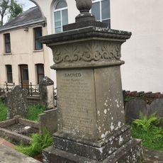
Jenkins monument in the graveyard, Paran Chapel
3.9 km
The Phoenix
5.5 km
Moriah Welsh Baptist Chapel
5 km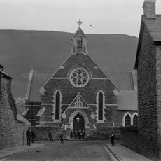
St Andrew's Church
5 km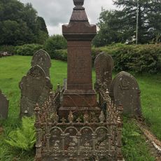
Edwards monument in the graveyard of Paran Chapel
3.9 km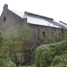
Former Engine House at Llwynypia Colliery Site
5.3 km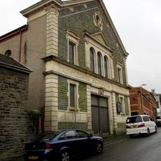
Bethania Calvinistic Methodist Chapel
4.9 km
Trinity English Calvinistic Methodist Chapel
5 km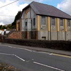
Bethel Methodist Chapel
3.9 km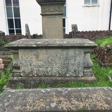
Evans chest tomb in graveyard of Paran Chapel
3.9 km
Seion Welsh Calvinistic Methodist Chapel
5.2 km
War Memorial
5.3 km
Bethany Calvinistic Methodist Chapel
5.2 km
Forecourt and terrace walls with lamp standard, railings and gates at Ebenezer Chapel
5 km
Ysgoldy Ebenezer Attached To Left Of Ebenezer Welsh Independent Chapel
4.9 km
Ebenezer Welsh Congregational Chapel
4.9 km
Bethesda Welsh Independent Chapel
5.5 km
Ystrad English Independent Chapel
5.5 km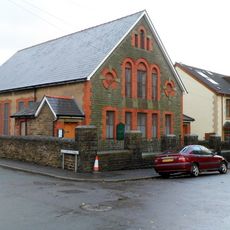
Hope English Baptist Chapel
5.3 kmHa visitato questo luogo? Tocchi le stelle per valutarlo e condividere la Sua esperienza o foto con la community! Provalo ora! Puoi annullarlo in qualsiasi momento.
Scopri tesori nascosti ad ogni viaggio!
Da piccoli caffè caratteristici a panorami nascosti, fuggi dalla folla e scova i posti che fanno davvero per te. La nostra app ti semplifica tutto: ricerca vocale, filtri furbi, percorsi ottimizzati e dritte autentiche da viaggiatori di tutto il mondo. Scaricala subito per vivere l'avventura sul tuo smartphone!

Un nuovo approccio alla scoperta turistica❞
— Le Figaro
Tutti i luoghi che meritano di essere esplorati❞
— France Info
Un’escursione su misura in pochi clic❞
— 20 Minutes