
North Tamerton, human settlement in United Kingdom
Posizione: Cornwall
Altezza sopra il mare: 119,2 m
Coordinate GPS: 50.75100,-4.39400
Ultimo aggiornamento: 3 marzo 2025 alle 17:42

Penhallam
8.7 km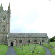
Church of the Nativity of the Blessed Virgin Mary
7.5 km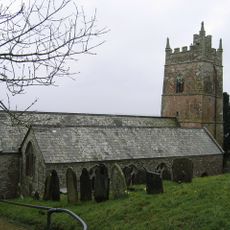
Parish Church of St Anne
5.1 km
St James's Church, Luffincott
3.4 km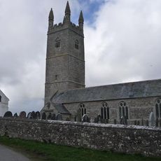
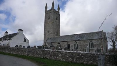
Church of St Denis, North Tamerton
25 m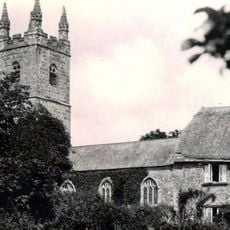
Church of St Bridget
6.6 km
Church of St Paternus, North Petherwin
8.3 km
Church of St Swithin
5.6 km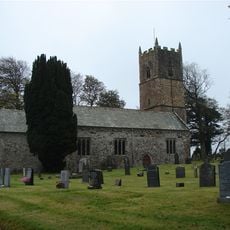
Church of St Leonard
4.1 km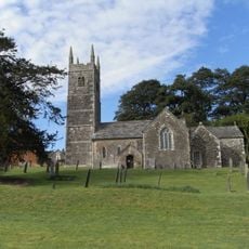
Church of the Holy Cross
2.2 km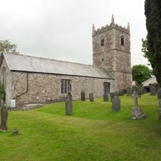
Church of the Holy Name
5.4 km
Incline Plane, Bridge And Wheel Pit To East Of Plane Cottage
7.3 km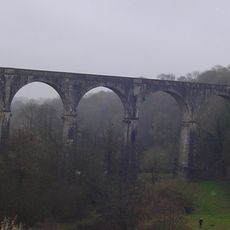
Derriton Viaduct
6.8 km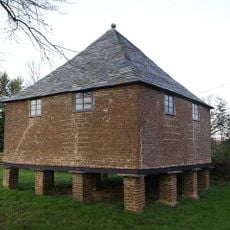
Granary About 30 Metres North West Of Tetcott Manor
2 km
Well House About 4 Metres East Of The Old College
7.4 km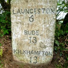
Milestone 100 Metres To North West Of Darracott Cottage
4.9 km
Milestone At Langdon Cross
7.4 km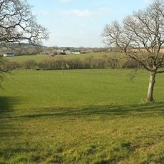
Eastacombe Farmhouse
4.8 km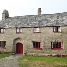
The Old College, Outbuilding Adjoining Left Gable End Of College, Wall Adjoining Right Front Of College
7.4 km
The Old Rectory And Walls Enclosing Garden To North East
4.8 km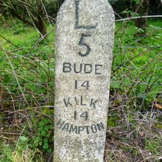
Milestone At Bennacott
6 km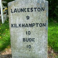
Milestone, in street on wide verge
4.3 km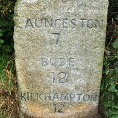
Milestone, Parkhurst, West Curry
4.1 km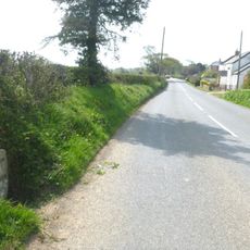
Milestone, Whitstone village
4.7 km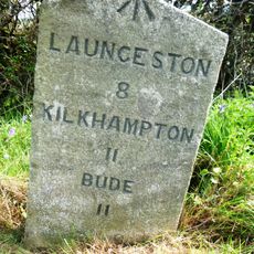
Milestone, S of Willsworthy Cross
4.2 km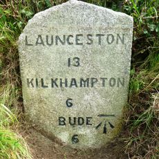
Milestone, N of Jewells Cross
7.6 km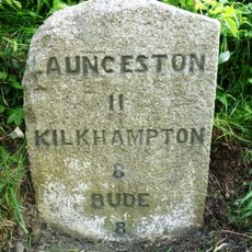
Milestone, near Tonkins Farm
5.2 km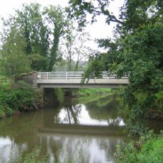
Boyton Bridge
5.3 kmHa visitato questo luogo? Tocchi le stelle per valutarlo e condividere la Sua esperienza o foto con la community! Provalo ora! Puoi annullarlo in qualsiasi momento.
Scopri tesori nascosti ad ogni viaggio!
Da piccoli caffè caratteristici a panorami nascosti, fuggi dalla folla e scova i posti che fanno davvero per te. La nostra app ti semplifica tutto: ricerca vocale, filtri furbi, percorsi ottimizzati e dritte autentiche da viaggiatori di tutto il mondo. Scaricala subito per vivere l'avventura sul tuo smartphone!

Un nuovo approccio alla scoperta turistica❞
— Le Figaro
Tutti i luoghi che meritano di essere esplorati❞
— France Info
Un’escursione su misura in pochi clic❞
— 20 Minutes