
Pucklechurch, village and civil parish in Gloucestershire, UK
Posizione: South Gloucestershire
Confina con: Westerleigh
Coordinate GPS: 51.48694,-2.43528
Ultimo aggiornamento: 16 marzo 2025 alle 18:17
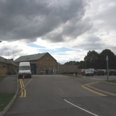
HM Prison Ashfield
679 m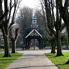
Page Park
4.4 km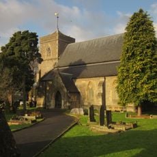
Church of St Saviour
4.9 km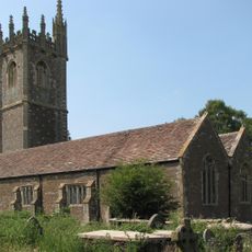
Church of St James the Great
3.1 km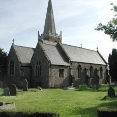
Church of St James
3.4 km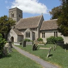
Parish Church of St Anne
1.7 km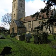
Church of St James the Great
1.8 km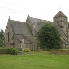
Church of St Bartholomew
3.8 km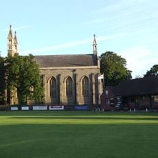
Christ Church
4.9 km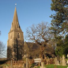
Church of St Barnabas
4.1 km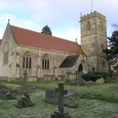
Church of Holy Trinity
3.3 km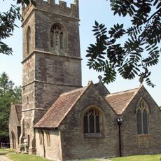
Church of St Peter
3.5 km
Milestone Opposite Junction With Church Avenue
4 km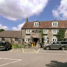
The Bull Inn
3.7 km
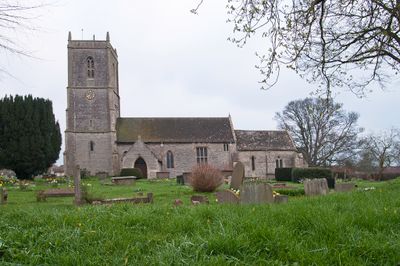
Church of St Thomas à Becket
52 m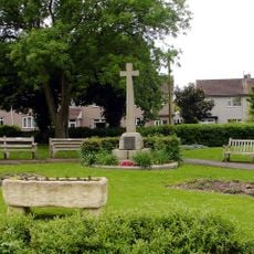
Mangotsfield War Memorial
3.5 km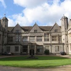
Siston Court
1.7 km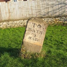
Mile Stone Immediately South East Of Webb's Farmhouse
3.2 km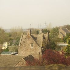
Sign Of The Dolphin
3.8 km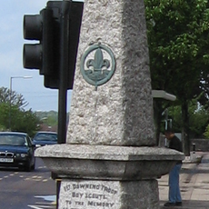
Downend Boy Scouts' War Memorial
4.7 km
Warmley Signal Box
4.1 km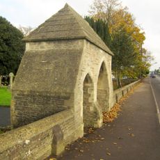
Lychgate And Attached Walls About 30 Metres East Of Church Of St Saviour
4.9 km
Mile Stone Approximately 120 Yards North West Of Cherry Cottage
3.5 km
The Old Turnpike
1.3 km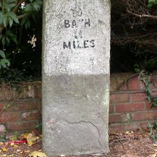
Milestone, Rodway Hill
3.5 km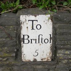
Guidestone, Bridge Yate, London Road & Bath Road jct
3.7 km
Milestone, Riding Barn Hill, Wick, by No. 72
3.9 km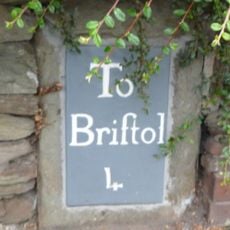
Milestone, Downend Road; opp. jcn Christchurch Lane by No. 72B
5.1 kmRecensioni
Ha visitato questo luogo? Tocchi le stelle per valutarlo e condividere la Sua esperienza o foto con la community! Provalo ora! Puoi annullarlo in qualsiasi momento.
Scopri tesori nascosti ad ogni viaggio!
Da piccoli caffè caratteristici a panorami nascosti, fuggi dalla folla e scova i posti che fanno davvero per te. La nostra app ti semplifica tutto: ricerca vocale, filtri furbi, percorsi ottimizzati e dritte autentiche da viaggiatori di tutto il mondo. Scaricala subito per vivere l'avventura sul tuo smartphone!

Un nuovo approccio alla scoperta turistica❞
— Le Figaro
Tutti i luoghi che meritano di essere esplorati❞
— France Info
Un’escursione su misura in pochi clic❞
— 20 Minutes