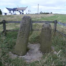
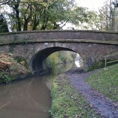
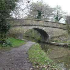
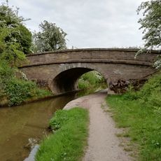
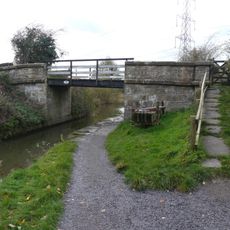
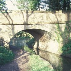
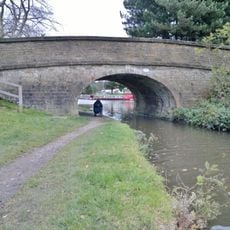
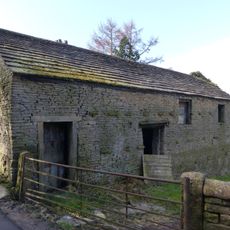
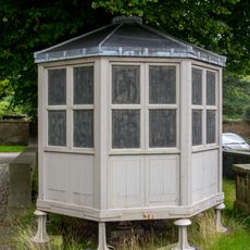
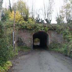
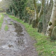
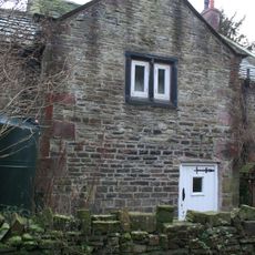
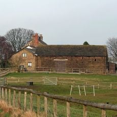
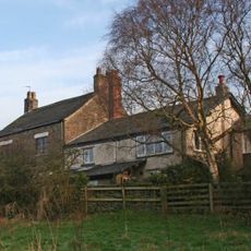
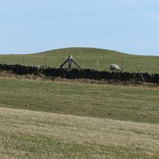
Pott Shrigley, village in Cheshire, England
Posizione: Cheshire East
Confina con: Lyme Handley, Rainow
Coordinate GPS: 53.30900,-2.08400
Ultimo aggiornamento: 12 marzo 2025 alle 14:16
Lyme Park
3.8 km
Shrigley Hall
731 m
The Bow Stones Anglian cross shafts
3.6 km
St Christopher's Church, Pott Shrigley
100 m
Lyme Park
3.8 km
Canal bridge number 22, 200 metres north west of Clark Green Farmhouse
1.7 km
Canal Bridge Number 19
2.1 km
Canal bridge number 23, 250 metres west of Winterford Farm
1.7 km
Bridge Number 17 over canal, north of Mitchelfold
2.9 km
Canal Bridge Number 21
1.9 km
Hamper's Bridge
3.9 km
Canal Bridge Number 20
1.8 km
The Orangery
3.8 km
Canal Bridge Number 18
2.6 km
Wellhead at centre of Lyme Park's courtyard
3.8 km
The Stables at Lyme Park
3.9 km
Gate piers, gates and railings, 48m north of north front of Lyme Park
3.8 km
College of Missionary Chapel
679 m
Barn and shippon at Hedgerow Farm
1.1 km
The Meat Safe; 20 metres North Of Orangery
3.8 km
Canal aqueduct over Shrigley Road
2.9 km
Macclesfield Canal stone fence posts north of Bridge No.20
1.8 km
Harestead Farmhouse
3.7 km
Corn barn 40 metres south of Green Farmhouse
3.2 km
Green Farmhouse
3.3 km
Terrace Wall And Steps In Front Of The Orangery
3.8 km
Terrace revetment walls, up to 50m to the west of Lyme Park
3.7 km
Bowl barrow at Ox Close
2.6 kmHa visitato questo luogo? Tocchi le stelle per valutarlo e condividere la Sua esperienza o foto con la community! Provalo ora! Puoi annullarlo in qualsiasi momento.
Scopri tesori nascosti ad ogni viaggio!
Da piccoli caffè caratteristici a panorami nascosti, fuggi dalla folla e scova i posti che fanno davvero per te. La nostra app ti semplifica tutto: ricerca vocale, filtri furbi, percorsi ottimizzati e dritte autentiche da viaggiatori di tutto il mondo. Scaricala subito per vivere l'avventura sul tuo smartphone!
Un nuovo approccio alla scoperta turistica❞
— Le Figaro
Tutti i luoghi che meritano di essere esplorati❞
— France Info
Un’escursione su misura in pochi clic❞
— 20 Minutes