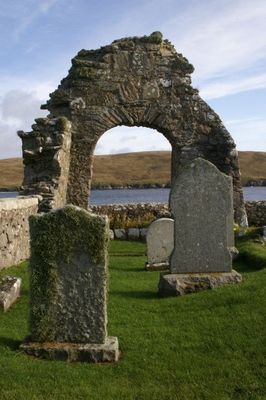
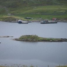
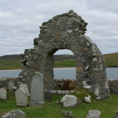
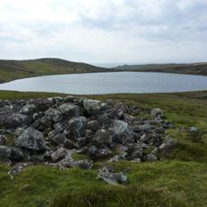
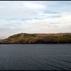
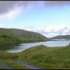
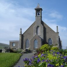
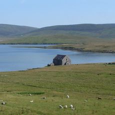
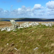
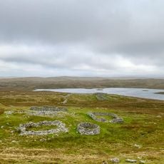
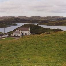
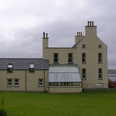
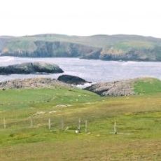
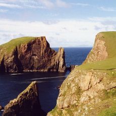
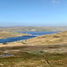
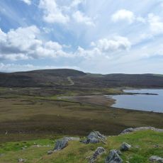
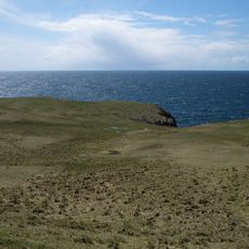
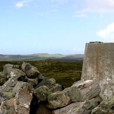
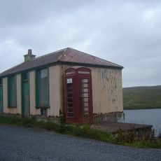
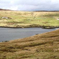
Sandsting, civil parish on Mainland, Shetland Islands, Scotland, UK
Posizione: Shetland Islands
Confina con: Delting, Tingwall, Walls and Sandness
Coordinate GPS: 60.25011,-1.43728
Ultimo aggiornamento: 5 marzo 2025 alle 14:00
Stanydale Temple
3.2 km
Broch of Culswick
9.2 km
Broch of West Burrafirth
7.7 km
Weisdale Mill
8.3 km
Quina Scord,chambered cairn 400m NW of Gillaburn
9.2 km
Burga Water,dun 2400m S of Voe of Snarraness
8.1 km
Haa of Sand
5.7 km
St Mary's Chapel (Sand)
5.8 km
Vivilie Loch, chambered cairn 450m WNW of Ward of Culswick
7.6 km
Longa Ness,chambered cairn,farmsteads and field system,Noonsbrough
6.5 km
Noonsbrough,burnt mound
5.6 km
Weisdale, Parish Church
8.2 km
Semblister, Semblister Church
3 km
Bekka Hill chambered cairn
3.9 km
Trolligarts,chambered cairn,homestead and field system SE of
6.7 km
Vementry, Norse Mill
7.8 km
Burrastow House
9.8 km
Muckle Flaes
9.3 km
Giltarump
9.9 km
Scord of Brouster, settlement and field system 205m W of Brouster
5.7 km
Craw Knowe,chambered cairn
5.1 km
Lambigart
10.2 km
Ward of Browland,chambered cairn
4.5 km
Tresta, Sandsound, The Store, Fishhouse
5 km
Bod Of Nesbister, Nesbister Point, Tingwall
10.8 km
Burga Stacks
9.1 km
Burn of Lunklet SSSI
7.9 km
East Burra Firth
7.3 kmHa visitato questo luogo? Tocchi le stelle per valutarlo e condividere la Sua esperienza o foto con la community! Provalo ora! Puoi annullarlo in qualsiasi momento.
Scopri tesori nascosti ad ogni viaggio!
Da piccoli caffè caratteristici a panorami nascosti, fuggi dalla folla e scova i posti che fanno davvero per te. La nostra app ti semplifica tutto: ricerca vocale, filtri furbi, percorsi ottimizzati e dritte autentiche da viaggiatori di tutto il mondo. Scaricala subito per vivere l'avventura sul tuo smartphone!
Un nuovo approccio alla scoperta turistica❞
— Le Figaro
Tutti i luoghi che meritano di essere esplorati❞
— France Info
Un’escursione su misura in pochi clic❞
— 20 Minutes