Twin Rivers, civil parish in East Riding of Yorkshire, England, UK
Posizione: East Riding of Yorkshire
Sito web: http://twinrivers.org.uk
Coordinate GPS: 53.68333,-0.73333
Ultimo aggiornamento: 7 marzo 2025 alle 17:44
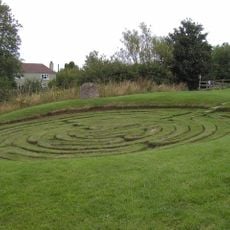
Julian's Bower
4.3 km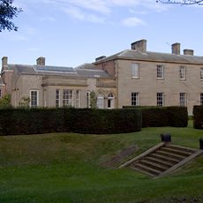
Saltmarshe Hall
6.1 km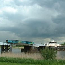
Goole railway swing bridge
7.9 km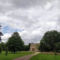
Normanby Hall Country Park
6.8 km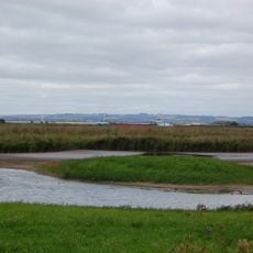
Blacktoft Sands RSPB reserve
1.9 km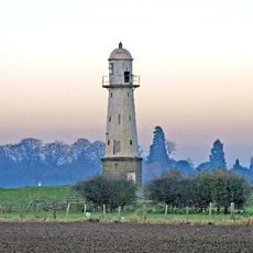
Whitgift Lighthouse
2.4 km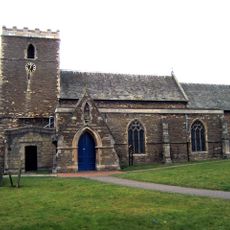
Church of St Andrew, Burton upon Stather
4.9 km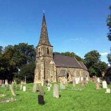
Church of St Mark
7.6 km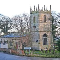
Church of Saint Mary Magdalene, Whitgift
3.1 km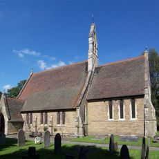
Church of Saint Bartholomew
5.8 km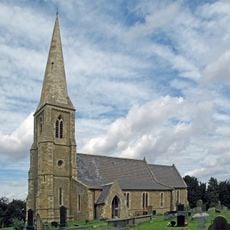
Church of Saint Oswald
4.3 km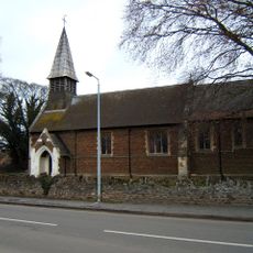
Church of All Saints
7.4 km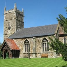
Church of Saint John the Baptist
4.5 km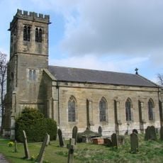
Church of Holy Trinity
2.8 km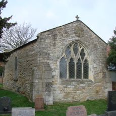
Remains Of Old Church
6 km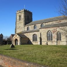
Church of All Saints
813 m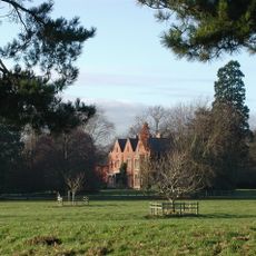
Yokefleet Hall
2.9 km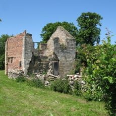
The Old Rectory
838 m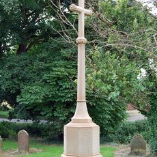
Whitgift War Memorial
3.1 km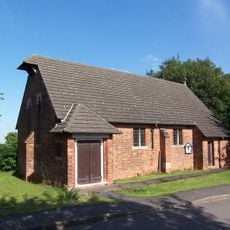
St Mary The Virgin
2.8 km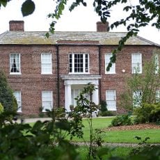
Walcot Hall
4 km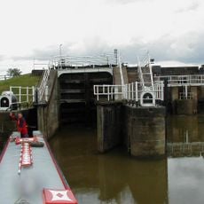
Weighton Lock
5.5 km
West Lodge And Gates, Gate Piers Connecting Wall And Railings And Outer Piers Immediately To West
3.1 km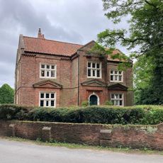
Walcot Old Hall
4.1 km
The Beeches
3.6 km
Amcotts War Memorial
7.7 km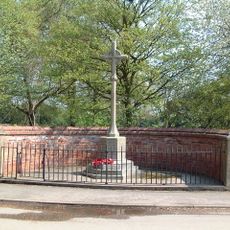
Eastoft War Memorial
6.2 km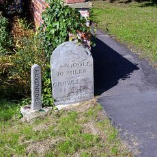
Milestone, ExYW at jct with B1392, in front of house opp. PH
6.3 kmHa visitato questo luogo? Tocchi le stelle per valutarlo e condividere la Sua esperienza o foto con la community! Provalo ora! Puoi annullarlo in qualsiasi momento.
Scopri tesori nascosti ad ogni viaggio!
Da piccoli caffè caratteristici a panorami nascosti, fuggi dalla folla e scova i posti che fanno davvero per te. La nostra app ti semplifica tutto: ricerca vocale, filtri furbi, percorsi ottimizzati e dritte autentiche da viaggiatori di tutto il mondo. Scaricala subito per vivere l'avventura sul tuo smartphone!

Un nuovo approccio alla scoperta turistica❞
— Le Figaro
Tutti i luoghi che meritano di essere esplorati❞
— France Info
Un’escursione su misura in pochi clic❞
— 20 Minutes