
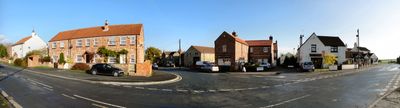
Whixley, village in United Kingdom
Posizione: North Yorkshire
Coordinate GPS: 54.01535,-1.32306
Ultimo aggiornamento: 8 marzo 2025 alle 16:30
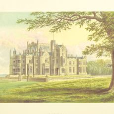
Allerton Castle
3 km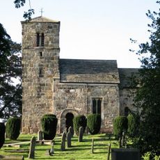
St John the Baptist church, Kirk Hammerton
3.2 km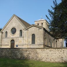
St Martin's Church, Allerton Mauleverer
2.9 km
Holy Trinity Church, Little Ouseburn
3.3 km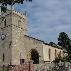
St Mary the Virgin's Church, Great Ouseburn
3.9 km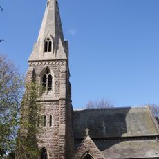
Church of St John the Baptist
4.6 km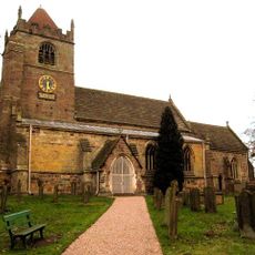
Church of the Ascension
457 m
Little Ouseburn Bridge
3.3 km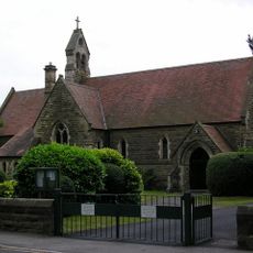
Chapel Of St Thomas
2 km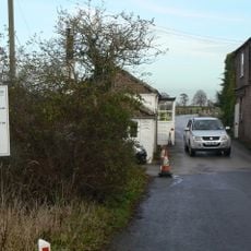
Aldwark Bridge
4.8 km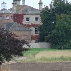
Kirby Hall
3.3 km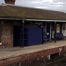
Hammerton Station Signal Box Cabin
3.3 km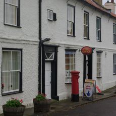
Post Office And 2 Attached Houses
1.8 km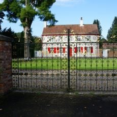
Moat Hall
3.2 km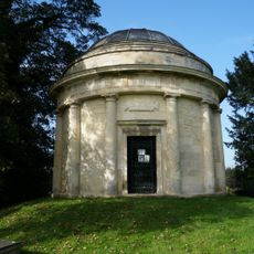
Thompson Mausoleum approximately twenty metres south west of the Church of the Holy Trinity
3.3 km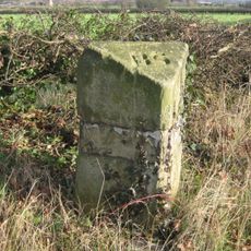
Boundary Stone
912 m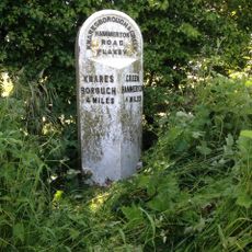
Milepost
3.9 km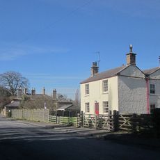
Huggins House
5.4 km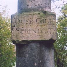
Column Approximately Ten Metres South Of The Bungalow
3.9 km
Milestone
3.7 km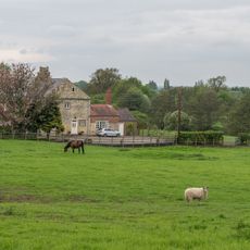
Cowthorpe Hall Farmhouse
5.4 km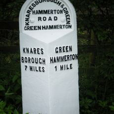
Milepost Approximately 30 Metres West Of Providence House
1.6 km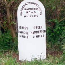
Milepost Approximately 50 Metres East Of Gelsthorpe Farm
1.7 km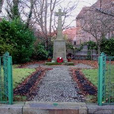
Whixley War Memorial
183 m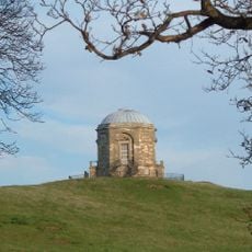
Temple Of Victory With Railed Enclosure
3.6 km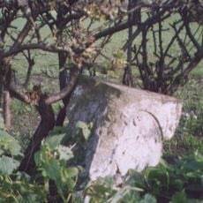
Milestone, south of Carr Side Lane to Great Ouseburn
3.7 km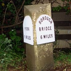
Milestone, 25m N of lane to Tancred Farms
816 m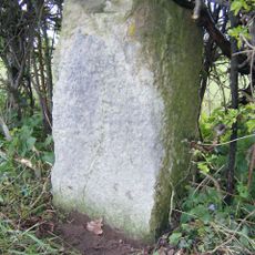
Milestone, Allerton Mauleverer
2.6 kmHa visitato questo luogo? Tocchi le stelle per valutarlo e condividere la Sua esperienza o foto con la community! Provalo ora! Puoi annullarlo in qualsiasi momento.
Scopri tesori nascosti ad ogni viaggio!
Da piccoli caffè caratteristici a panorami nascosti, fuggi dalla folla e scova i posti che fanno davvero per te. La nostra app ti semplifica tutto: ricerca vocale, filtri furbi, percorsi ottimizzati e dritte autentiche da viaggiatori di tutto il mondo. Scaricala subito per vivere l'avventura sul tuo smartphone!

Un nuovo approccio alla scoperta turistica❞
— Le Figaro
Tutti i luoghi che meritano di essere esplorati❞
— France Info
Un’escursione su misura in pochi clic❞
— 20 Minutes