
Welby, village and civil parish in Lincolnshire, UK
Posizione: South Kesteven
Coordinate GPS: 52.93023,-0.54938
Ultimo aggiornamento: 5 marzo 2025 alle 00:31
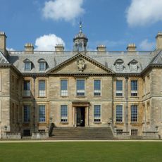
Belton House
4.8 km
Harrowby Hall
4.6 km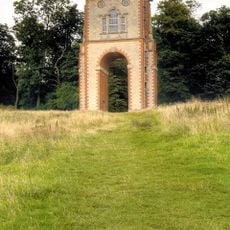
Bellmount Tower
2.8 km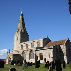
St Peter's Church, Ropsley
4.1 km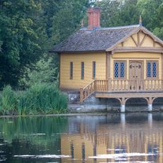
Boathouse at Belton House
4.3 km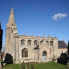
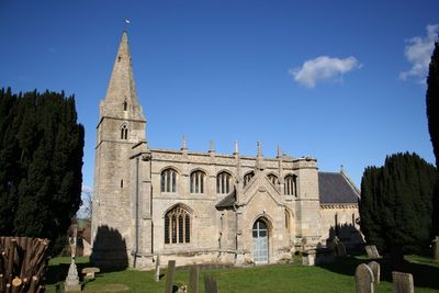
St Bartholomew's Church
227 m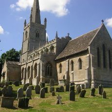
Church of St Michael
3.7 km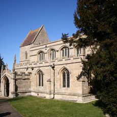
Church of St John the Baptist
2.3 km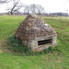
Well Head In Belton Park
4 km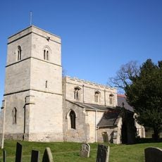
Church of St Mary Magdalene
4.2 km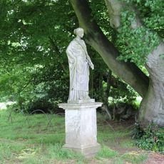
Statue at the North End of the Main Garden Axis North East of Belton House
4.8 km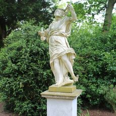
Steps And Pair Of Statues On North Terrace At Belton House
4.8 km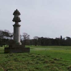
Monument To Viscount Alford In Belton Park Golf Club
4.6 km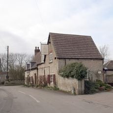
Houblon Arms Public House
3 km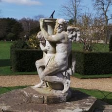
Sundial 150 Metres North Of Belton House
4.8 km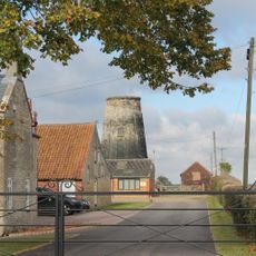
Oasby Mill
2.1 km
Eight Garden Urns Flanking The Main Garden Axis North Of Belton House
4.8 km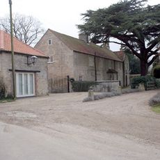
Oasby House
2.8 km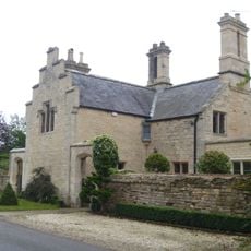
12 And 12A, Barkston Heath Lane
4.8 km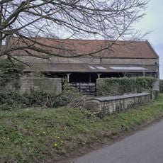
Barn At Manor House
4.1 km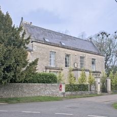
The Old Rectory
4.2 km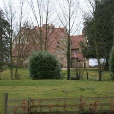
Heydour House
3.8 km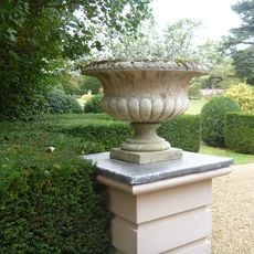
Pair Of Garden Urns On North Terrace At Belton House
4.8 km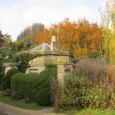
East Lodge
3.5 km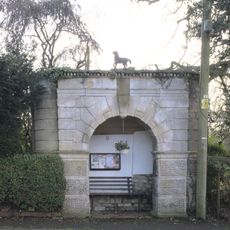
Bus Shelter (Outside No 21)
2.3 km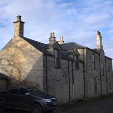
Hall Farm House
2.3 km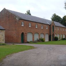
Implement Shed Granary And Stable 75 Metres South Of Home Farmhouse
4.8 km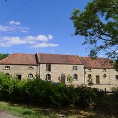
Stable Block At Cold Harbour Farm
4.1 kmRecensioni
Ha visitato questo luogo? Tocchi le stelle per valutarlo e condividere la Sua esperienza o foto con la community! Provalo ora! Puoi annullarlo in qualsiasi momento.
Scopri tesori nascosti ad ogni viaggio!
Da piccoli caffè caratteristici a panorami nascosti, fuggi dalla folla e scova i posti che fanno davvero per te. La nostra app ti semplifica tutto: ricerca vocale, filtri furbi, percorsi ottimizzati e dritte autentiche da viaggiatori di tutto il mondo. Scaricala subito per vivere l'avventura sul tuo smartphone!

Un nuovo approccio alla scoperta turistica❞
— Le Figaro
Tutti i luoghi che meritano di essere esplorati❞
— France Info
Un’escursione su misura in pochi clic❞
— 20 Minutes