
Wendron, civil parish in Cornwall, UK
Posizione: Cornwall
Coordinate GPS: 50.13330,-5.25000
Ultimo aggiornamento: 17 marzo 2025 alle 10:35


King Edward Mine
8.1 km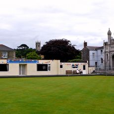
Helston Castle
4.2 km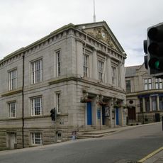
Helston Town Hall
4 km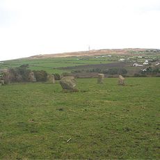
Nine Maidens Downs
5.6 km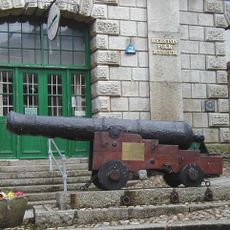
Helston Museum
4 km
Museum of Cornish Life
4 km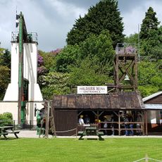
Poldark Mine
708 m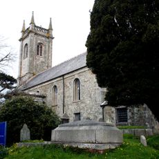
Church of St Michael
3.8 km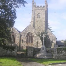
Church of Saint Stedian
8.1 km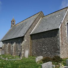
Church of St Andrew
7.4 km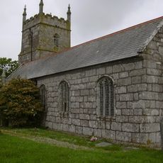
Church of Saint Gwendron
99 m
Helston Library
3.9 km
Milestone Approximately 309M East Of Gwealdues Hotel
2.7 km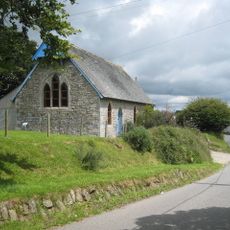
St Christopher Church and Community Centre
2.9 km
Godolphin Club
3.9 km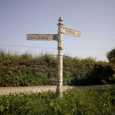
Guide Post At Sw 690280
3.2 km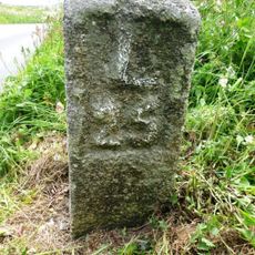
Milestone At Sw674305
601 m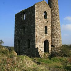
Engine House On Site Of Grenville United South Mine
7.7 km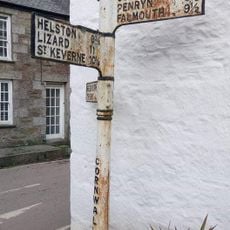
Guide Post Near The South End Of Alpha Cottage
5 km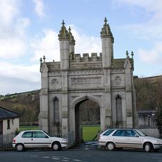
Monument To H M Grylls
4.2 km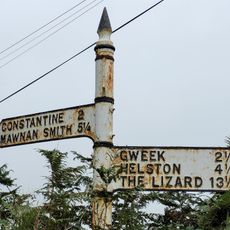
Guide Post About 50 Metres West Of Lower Treleggan
3.5 km
1 Cross Street and 50 Church Street
3.9 km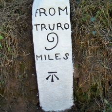
Milestone Circa 40M South-West Of No. 7 Southlea Terrace
7.6 km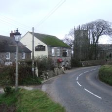
The New Inn including adjoining outbuildings at rear
52 m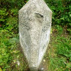
Milepost Approximately 20 Metres East Of Forest Sunday School
7 km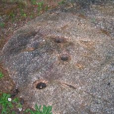
Mortar outcrop at Trenear, 9m north east of Poldark Mine entrance
774 m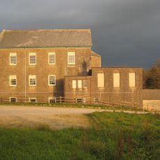
Stithians Methodist Church (formerly Penmennor Methodist Church)
7.6 km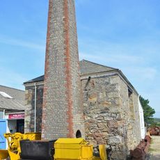
Calciner With Attached Chimney To South Of Dressing Plant At King Edward Mine
8 kmHa visitato questo luogo? Tocchi le stelle per valutarlo e condividere la Sua esperienza o foto con la community! Provalo ora! Puoi annullarlo in qualsiasi momento.
Scopri tesori nascosti ad ogni viaggio!
Da piccoli caffè caratteristici a panorami nascosti, fuggi dalla folla e scova i posti che fanno davvero per te. La nostra app ti semplifica tutto: ricerca vocale, filtri furbi, percorsi ottimizzati e dritte autentiche da viaggiatori di tutto il mondo. Scaricala subito per vivere l'avventura sul tuo smartphone!

Un nuovo approccio alla scoperta turistica❞
— Le Figaro
Tutti i luoghi che meritano di essere esplorati❞
— France Info
Un’escursione su misura in pochi clic❞
— 20 Minutes