
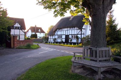
West Hagbourne, village and civil parish in South Oxfordshire, England
Posizione: South Oxfordshire
Coordinate GPS: 51.58643,-1.26237
Ultimo aggiornamento: 9 marzo 2025 alle 07:02
Church of St Matthew
2.3 km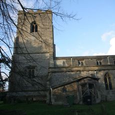
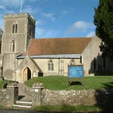
Church of St Andrew
1.4 km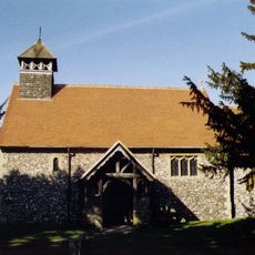
Church of St Mary
820 m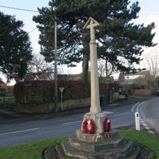
War Memorial Cross
2 km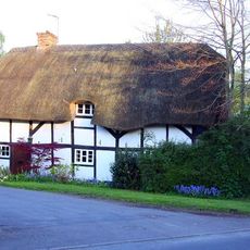
Thatch Cottage
147 m
Cottage approximately 35 metres south west of Blissets
112 m
York Farm Cottage
132 m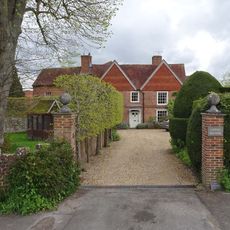
Upton Manor House
1 km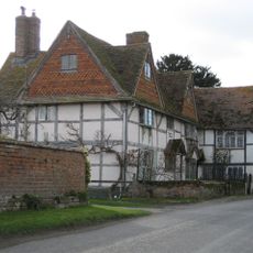
Coscote Manor And Yew Tree Famhouse And Attached Wall
628 m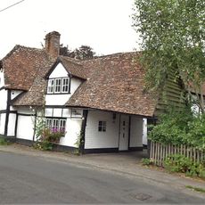
The Gables
1.8 km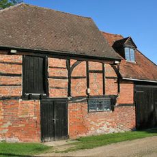
Barn And Granary Approximately 20 Metres West Of Owlscote Manor Farmhouse
1 km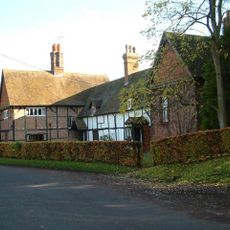
Kings Holme
1.7 km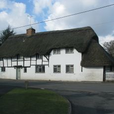
Green Shutters
1.8 km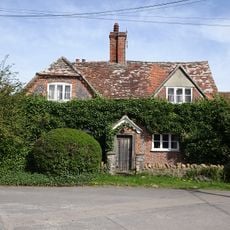
Ivy Farmhouse
156 m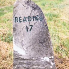
Milestone At Su 5041 8770
801 m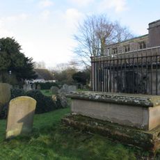
Chest Tomb To Phillips Family And Railings Approximately 10 Metres North Of Church Of St Andrew
1.4 km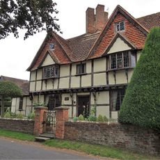
Tudor House and attached wing and barn
1.5 km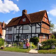
Number 21 And 23 (Upper Cross)
1.5 km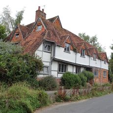
Buckels
1.9 km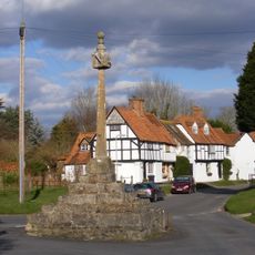
East Hagbourne village cross
1.5 km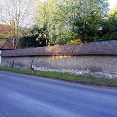
Cob wall attached to south of Wycherts
133 m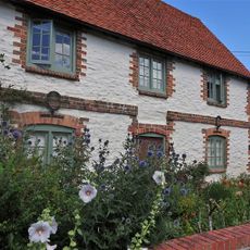
10, The Croft
1.6 km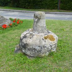
Lower Cross
2 km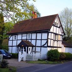
Wycherts
136 m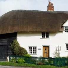
48, Main Road
1.5 km
Cob Wall And Attached Outbuilding, Approximately 50 Metres South Of Prince's Manor Farmhouse
2.2 km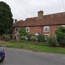
19, Main Road
1.5 km
29 and 31, Main Road
1.5 kmHa visitato questo luogo? Tocchi le stelle per valutarlo e condividere la Sua esperienza o foto con la community! Provalo ora! Puoi annullarlo in qualsiasi momento.
Scopri tesori nascosti ad ogni viaggio!
Da piccoli caffè caratteristici a panorami nascosti, fuggi dalla folla e scova i posti che fanno davvero per te. La nostra app ti semplifica tutto: ricerca vocale, filtri furbi, percorsi ottimizzati e dritte autentiche da viaggiatori di tutto il mondo. Scaricala subito per vivere l'avventura sul tuo smartphone!

Un nuovo approccio alla scoperta turistica❞
— Le Figaro
Tutti i luoghi che meritano di essere esplorati❞
— France Info
Un’escursione su misura in pochi clic❞
— 20 Minutes