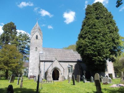
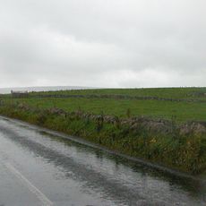
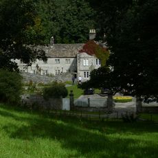
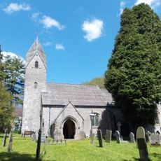
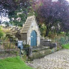
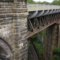
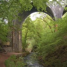
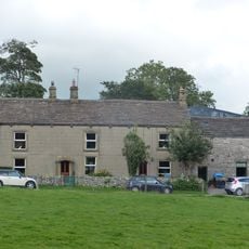
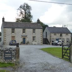
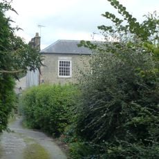
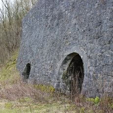
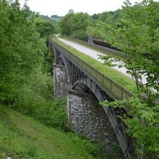
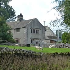
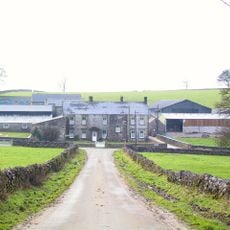
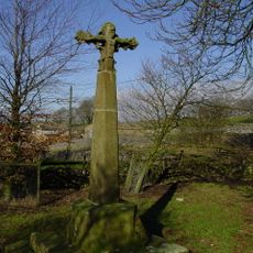
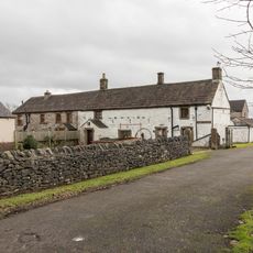
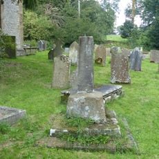
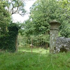
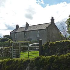
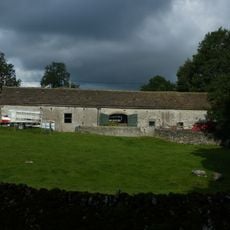
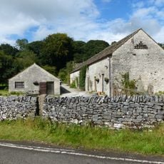
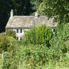
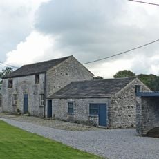
Wormhill, village and civil parish in High Peak, Derbyshire, England
Posizione: High Peak
Confina con: Buxton, Taddington, Blackwell, Tideswell, Wheston, Peak Forest, Chapel-en-le-Frith, Green Fairfield
Coordinate GPS: 53.27100,-1.82000
Ultimo aggiornamento: 5 marzo 2025 alle 09:35
Slow Train
2.4 km
Batham Gate
4.5 km
Wormhill Hall
907 m
St Margaret's Church, Wormhill
804 m
The Brindley Memorial Fountain
681 m
North Viaduct
2.5 km
Millers Dale Bridge 75
1.9 km
Knotlow Farmhouse and attached outbuilding
643 m
House To The East Of Bateman's Farm
594 m
Elm Tree House
450 m
Row of four lime kilns
2.6 km
South Viaduct
2.5 km
Old Hall Farmhouse
370 m
Wheston Hall, gate piers and boundary walls
1.9 km
Wheston Cross
1.9 km
Cherry Tree Farmhouse and adjoining house
5.2 km
The Vicarage
757 m
Outbuilding To The South South East Of House To The East Of Bateman's Farm (Item 5/64)
612 m
Barn To The North West Of Old Hall Farmhouse
334 m
Barn To The West Of Old Hall Farmhouse
351 m
Former Village Cross In St Margaret's Churchyard
820 m
Outer Gate Piers At Wormhill Hall
931 m
Hassop Farmhouse
964 m
Barn To South South East Of Knotlow Farmhouse
680 m
Outbuilding To The South Of Chapelsteads Farmhouse
1.1 km
Chapelsteads Farmhouse
1 km
Outbuilding to the south west of house to the east of Batemans Farm
620 m
Wind Low bowl barrow and standing cross
712 mHa visitato questo luogo? Tocchi le stelle per valutarlo e condividere la Sua esperienza o foto con la community! Provalo ora! Puoi annullarlo in qualsiasi momento.
Scopri tesori nascosti ad ogni viaggio!
Da piccoli caffè caratteristici a panorami nascosti, fuggi dalla folla e scova i posti che fanno davvero per te. La nostra app ti semplifica tutto: ricerca vocale, filtri furbi, percorsi ottimizzati e dritte autentiche da viaggiatori di tutto il mondo. Scaricala subito per vivere l'avventura sul tuo smartphone!
Un nuovo approccio alla scoperta turistica❞
— Le Figaro
Tutti i luoghi che meritano di essere esplorati❞
— France Info
Un’escursione su misura in pochi clic❞
— 20 Minutes