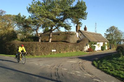
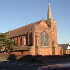
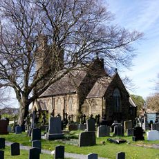
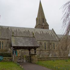
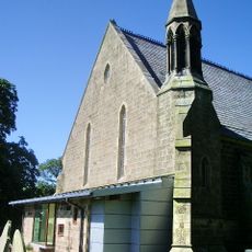
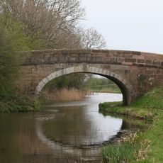
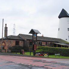
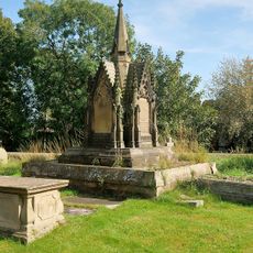
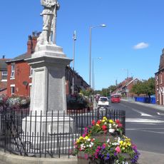
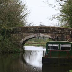
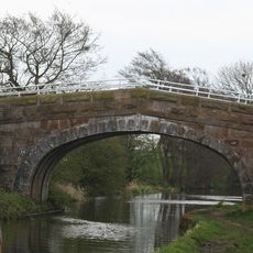
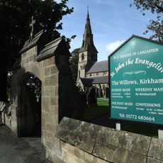
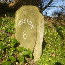
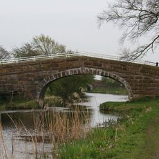
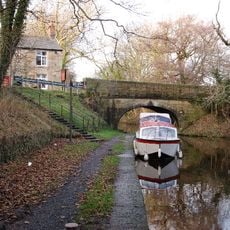
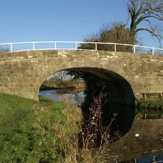
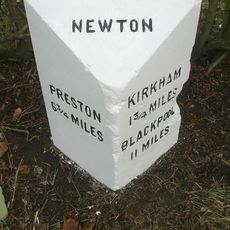
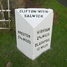
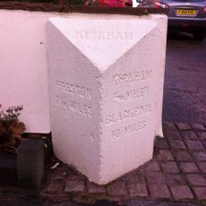
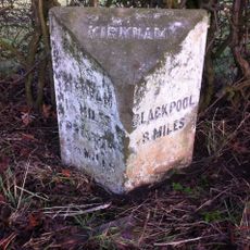
Treales, Roseacre and Wharles, civil parish in the Borough of Fylde and the ceremonial county of Lancashire in England
Posizione: Borough of Fylde
Coordinate GPS: 53.80719,-2.84344
Ultimo aggiornamento: 14 marzo 2025 alle 09:55
RNAS Inskip
2.4 km
St Michael's Church, Kirkham
3.1 km
St John the Evangelist's Church, Kirkham
4 km
Christ Church
3.3 km
St John the Evangelist's Church, Clifton
3.9 km
Ivy House
5 km
Malt Kiln Farmhouse
4.8 km
Church of St Peter
3.5 km
Salwick Hall Bridge (Number 24)
3.4 km
Kirkham United Reformed Church
3.5 km
Six Mile Bridge (Number 27)
2.4 km
Christ Church, Treales
301 m
Canal Bridge (Number 22)
4.6 km
The Windmill Tavern
4.1 km
Tomb of William Birley and others in churchyard circa 50 metres south east of the porch of the Church of St Michael
3.1 km
Medlar-with-Wesham War Memorial
3.4 km
Wilson's Bridge Number 25
3.2 km
New Bridge
2.3 km
Churchyard Wall And Gateway South Of The Church Of St John The Evangelist
4 km
Hillside And Attached Wings
3.3 km
Milestone Circa 20 Metres South Of Six Mile Bridge
2.4 km
Ward's House Bridge (Number 23)
4.4 km
Salwick Bridge
2.6 km
Kellet's Bridge
2 km
Milestone, Newton with Scales
3.8 km
Milestone, Clifton; W end village
4.7 km
Milestone, Preston Road, Dowbridge; opp. Glebe Lane, by No. 73
3.3 km
Milestone, Ribby
4.5 kmHa visitato questo luogo? Tocchi le stelle per valutarlo e condividere la Sua esperienza o foto con la community! Provalo ora! Puoi annullarlo in qualsiasi momento.
Scopri tesori nascosti ad ogni viaggio!
Da piccoli caffè caratteristici a panorami nascosti, fuggi dalla folla e scova i posti che fanno davvero per te. La nostra app ti semplifica tutto: ricerca vocale, filtri furbi, percorsi ottimizzati e dritte autentiche da viaggiatori di tutto il mondo. Scaricala subito per vivere l'avventura sul tuo smartphone!
Un nuovo approccio alla scoperta turistica❞
— Le Figaro
Tutti i luoghi che meritano di essere esplorati❞
— France Info
Un’escursione su misura in pochi clic❞
— 20 Minutes