
Nash, village and civil parish in Buckinghamshire, UK
Posizione: Buckinghamshire
Coordinate GPS: 52.00340,-0.86650
Ultimo aggiornamento: 15 marzo 2025 alle 23:48
Whaddon Hall
2.8 km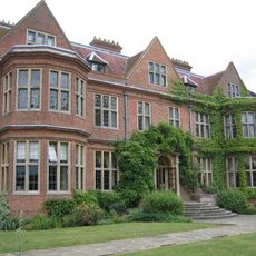
Horwood House
5.2 km
Oxley Woods
4.3 km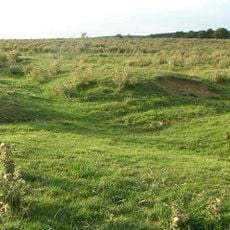
Snelshall Priory
3.7 km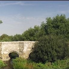
Thornborough Bridge
5.1 km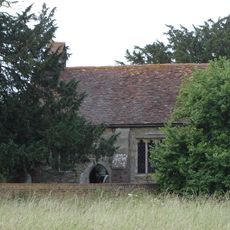
St Giles's Church, Tattenhoe
5 km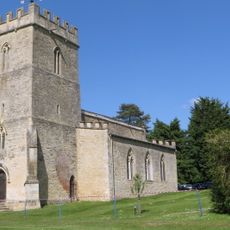
St Michael and All Angels' Church, Thornton
3.2 km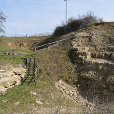
Coombs Quarry
4.9 km
Oxley Mead
4 km
Pilch Fields
3.9 km
Church of St James
3.4 km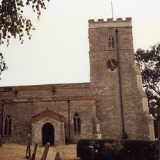
Church of St Mary
2.7 km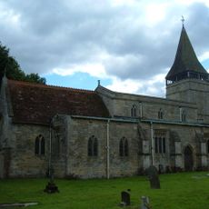
Church of St Mary
2.7 km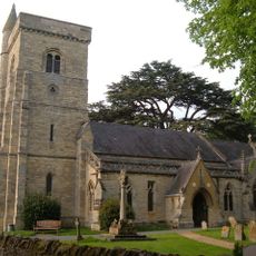
Church of All Saints
4.7 km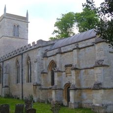
Church of St Guthlac, Passenham
5 km
Church of St Mary
3.7 km
Church of Holy Trinity
5.4 km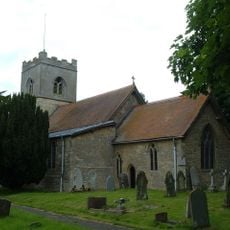
Church of St Nicholas
3.8 km
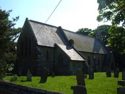
Church of All Saints
528 m
Deanshanger War Memorial
5.4 km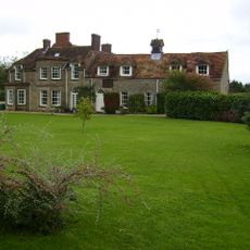
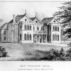
Thornton Hall
2 km
White House Farmhouse
5.7 km
The Shoulder Of Mutton Public House And Outbuildings Attached To North
3.8 km
The Manor House And Attached Walls And Gates
5 km
Manor Farmhouse
5.1 km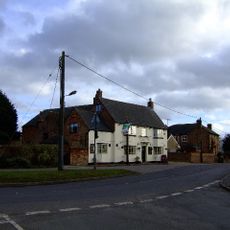
The Swan Inn
3.5 km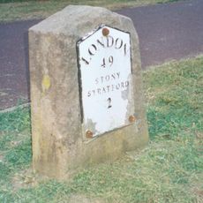
Milestone, Watling Street; on brow of hill in open area, Two Mile Ash
5.4 km
Milepost, Stratford Road; 200m W of gated (gate house) road to Foscott, opp. NW edge of reservoir
5.7 kmRecensioni
Ha visitato questo luogo? Tocchi le stelle per valutarlo e condividere la Sua esperienza o foto con la community! Provalo ora! Puoi annullarlo in qualsiasi momento.
Scopri tesori nascosti ad ogni viaggio!
Da piccoli caffè caratteristici a panorami nascosti, fuggi dalla folla e scova i posti che fanno davvero per te. La nostra app ti semplifica tutto: ricerca vocale, filtri furbi, percorsi ottimizzati e dritte autentiche da viaggiatori di tutto il mondo. Scaricala subito per vivere l'avventura sul tuo smartphone!

Un nuovo approccio alla scoperta turistica❞
— Le Figaro
Tutti i luoghi che meritano di essere esplorati❞
— France Info
Un’escursione su misura in pochi clic❞
— 20 Minutes