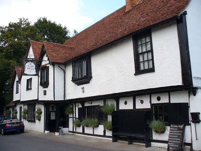
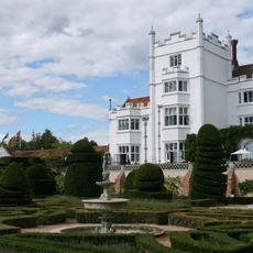
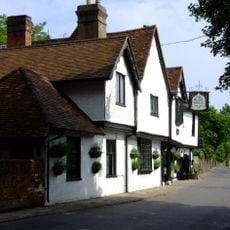
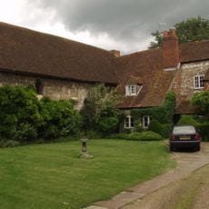
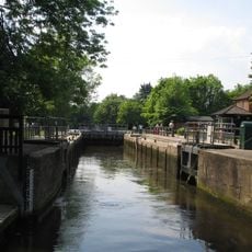
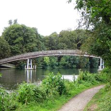
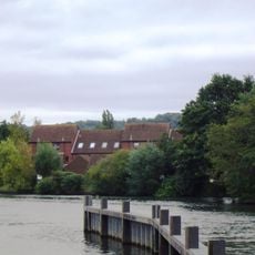
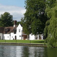
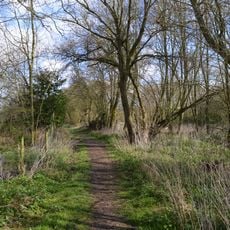
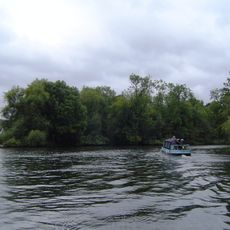
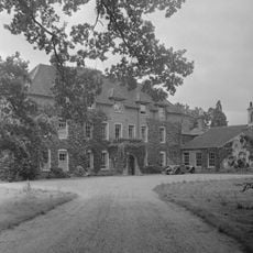
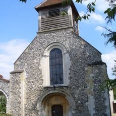
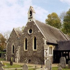
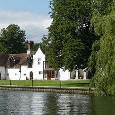
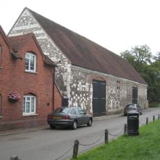
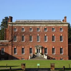
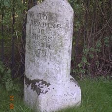
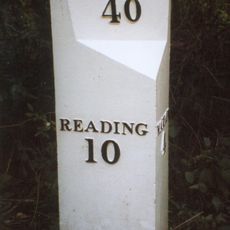
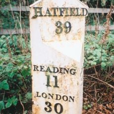
Hurley, village and civil parish in the English county of Berkshire
Posizione: Windsor and Maidenhead
Coordinate GPS: 51.54300,-0.80800
Ultimo aggiornamento: 2 marzo 2025 alle 21:07
Danesfield House
1.6 km
The Olde Bell
381 m
Hurley Priory
744 m
Hurley Lock
915 m
Temple Footbridge
1.3 km
Temple Mill Island
1.7 km
Medmenham Abbey
1.5 km
Rodbed Wood
2.4 km
Frog Mill Ait
1.6 km
Stubbings House
3.1 km
Church of St Mary
741 m
Church of St. James the Less
2.8 km
Medmenham Abbey, Abbey House and Wall with Arch to Forecourt
2.1 km
Fountain 35 Metres To South Of Danesfield House
1.5 km
Barn at Hurley Farm
660 m
Hall Place
1.6 km
Milestone At Ngr 8488 8170
2.6 km
Wittingdon
1.3 km
Milestone, Henley Road; Speen Hill Golf Course
1.1 km
Dovecote In The Grounds Of The Tithe Barn, About 9 Metres South Of The House
708 m
Milestone At Ngr 7925 8262
3.6 km
Milestone,Opposite Junction With Honey Lane
498 m
Milestone At Ngr 8195 7902
4.4 km
Milestone Approximately 165 Metres West Of The Junction With Burchetts Lane
3.6 km
Milestone, Nearly Opposite Junction With Burchetts Green Road
3.2 km
Mile Post About 80 Metres South West Of Burchetts Green School
2.4 km
Mile Post On A404 North North East Of Junction With A423
1.7 km
Milestone, Henley Road; Rosehill, opp. private road to Dean Place
2 kmHa visitato questo luogo? Tocchi le stelle per valutarlo e condividere la Sua esperienza o foto con la community! Provalo ora! Puoi annullarlo in qualsiasi momento.
Scopri tesori nascosti ad ogni viaggio!
Da piccoli caffè caratteristici a panorami nascosti, fuggi dalla folla e scova i posti che fanno davvero per te. La nostra app ti semplifica tutto: ricerca vocale, filtri furbi, percorsi ottimizzati e dritte autentiche da viaggiatori di tutto il mondo. Scaricala subito per vivere l'avventura sul tuo smartphone!
Un nuovo approccio alla scoperta turistica❞
— Le Figaro
Tutti i luoghi che meritano di essere esplorati❞
— France Info
Un’escursione su misura in pochi clic❞
— 20 Minutes