
South Scarle, village and civil parish in Nottinghamshire, England
Posizione: Newark and Sherwood
Coordinate GPS: 53.16631,-0.73319
Ultimo aggiornamento: 3 marzo 2025 alle 04:33
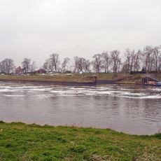
Cromwell Lock
4.8 km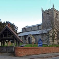
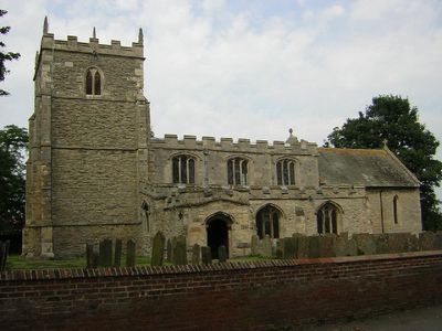
All Saints' Church, Collingham
2.7 km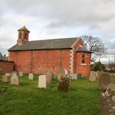
Holy Trinity Church, Besthorpe
2.3 km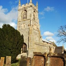
St John the Baptist's Church, Collingham
3.5 km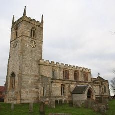
St Wilfrid's Church, Low Marnham
6.8 km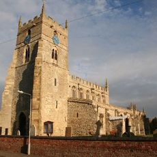
All Saints' Church, Sutton-on-Trent
5.1 km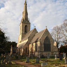
St Mary's Church, Carlton-on-Trent
4.9 km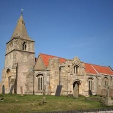
St Giles' Church, Holme
6.6 km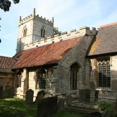
St Bartholomew's Church, Langford
5.6 km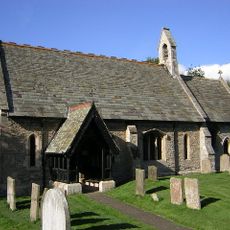
St Cecilia's Church, Girton
3.2 km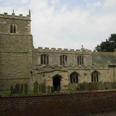
St Helena's Church, South Scarle
582 m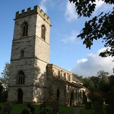
St. Giles' Church, Cromwell
5.4 km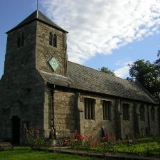
Church of St Michael and All Angels
6.2 km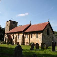
Church of All Saints
4.3 km
Church of All Saints
2.8 km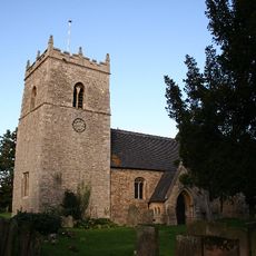
Church of All Saints
2.3 km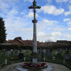
North Collingham War Memorial
2.7 km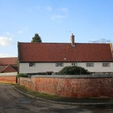
The Nunnery
3.5 km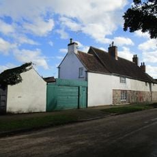
The Little House And Number 20
3.1 km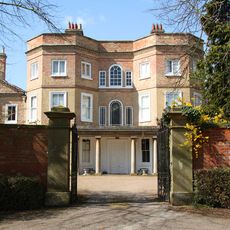
Carlton Hall
4.9 km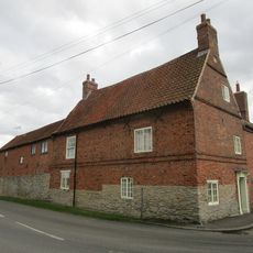
Corner Farmhouse
164 m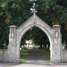
War Memorial Arch
4.3 km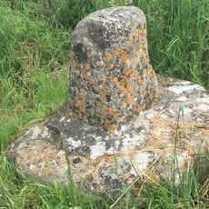
Standing cross 140m north of The Old Hall
6.7 km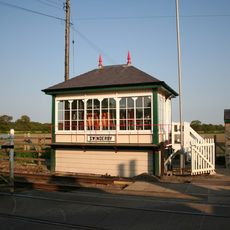
Swinderby Signal Box
2.1 km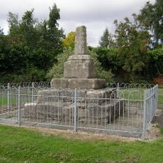
Standing cross on the west side of High Street
2.3 km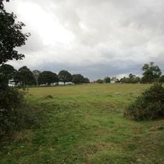
Langford medieval village, including moat and open field system, 450m north west of Elmtree Farm
5.9 km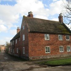
Lime Tree House
3.2 km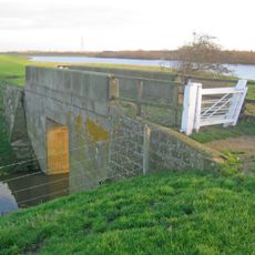
Trent Navigation, Footbridge Over Drain On West Bank Of River Trent At Sk 8150 6731
4.7 kmHa visitato questo luogo? Tocchi le stelle per valutarlo e condividere la Sua esperienza o foto con la community! Provalo ora! Puoi annullarlo in qualsiasi momento.
Scopri tesori nascosti ad ogni viaggio!
Da piccoli caffè caratteristici a panorami nascosti, fuggi dalla folla e scova i posti che fanno davvero per te. La nostra app ti semplifica tutto: ricerca vocale, filtri furbi, percorsi ottimizzati e dritte autentiche da viaggiatori di tutto il mondo. Scaricala subito per vivere l'avventura sul tuo smartphone!

Un nuovo approccio alla scoperta turistica❞
— Le Figaro
Tutti i luoghi che meritano di essere esplorati❞
— France Info
Un’escursione su misura in pochi clic❞
— 20 Minutes