
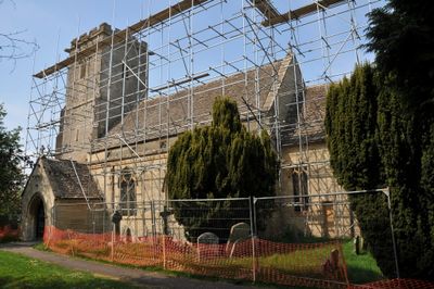
Church of the Holy Cross, Ashton Keynes, church in Ashton Keynes, UK
Posizione: Ashton Keynes
Coordinate GPS: 51.64830,-1.94113
Ultimo aggiornamento: 7 marzo 2025 alle 02:47
Cotswold Water Park
1.2 km
Ashton Keynes Castle
735 m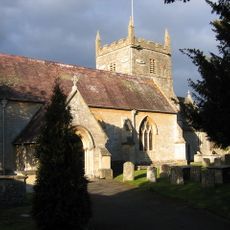
Church of All Hallows
3.1 km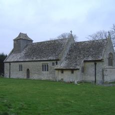
All Saints Church, Leigh
3 km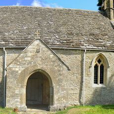
All Saints Church, Shorncote
2.9 km
Elmlea Meadows
3.8 km
Wildmoorway Meadows
3.9 km
Church of All Saints
2.8 km
Church of Holy Trinity
3.8 km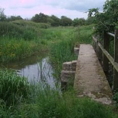
Unnamed footbridge
1.6 km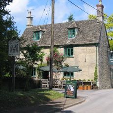
The Bakers Arms
2.5 km
Bridge on The Derry
961 m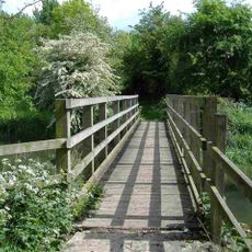
Stones Lane footbridge
3.8 km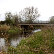
Waterhay bridge
2.2 km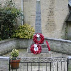
Minety War Memorial
4 km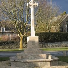
South Cerney War Memorial
2.6 km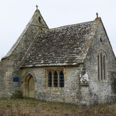
Leigh All Saints Old Chancel
2.3 km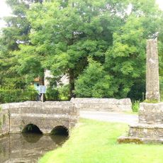
Medieval cross immediately south of Gumstool Bridge
403 m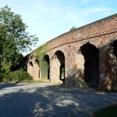
Former Road Bridge On Dismantled Railway
2.9 km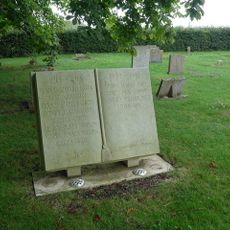
Leigh War Memorial
3 km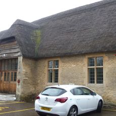
Village Hall
2.9 km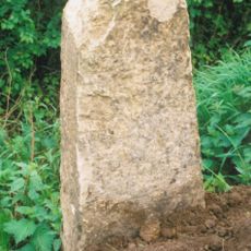
Milestone At Calowe Hill
3.2 km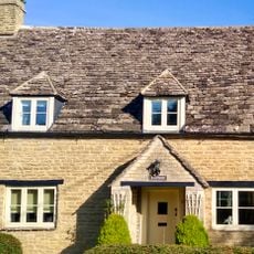
Radnor
2.6 km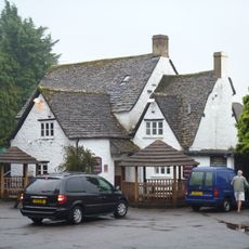
The Old George
2.9 km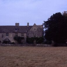
Manor House
2.8 km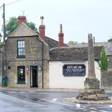
Medieval village cross at the junction of Park Place and the High Road 210m south of Gumstool Bridge
543 m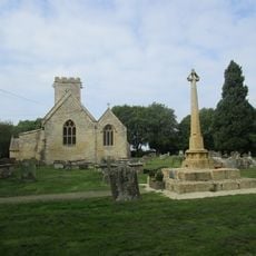
Medieval cross 40m east of Holy Cross Church
40 m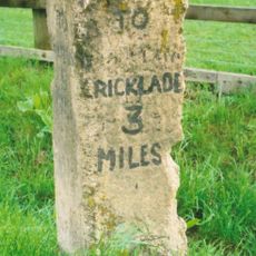
Milestone, Minety Road; Calowe Hill, in front of Brookdeen House by drive to Leighfield Lodge Farm
3.5 kmRecensioni
Ha visitato questo luogo? Tocchi le stelle per valutarlo e condividere la Sua esperienza o foto con la community! Provalo ora! Puoi annullarlo in qualsiasi momento.
Scopri tesori nascosti ad ogni viaggio!
Da piccoli caffè caratteristici a panorami nascosti, fuggi dalla folla e scova i posti che fanno davvero per te. La nostra app ti semplifica tutto: ricerca vocale, filtri furbi, percorsi ottimizzati e dritte autentiche da viaggiatori di tutto il mondo. Scaricala subito per vivere l'avventura sul tuo smartphone!

Un nuovo approccio alla scoperta turistica❞
— Le Figaro
Tutti i luoghi che meritano di essere esplorati❞
— France Info
Un’escursione su misura in pochi clic❞
— 20 Minutes