
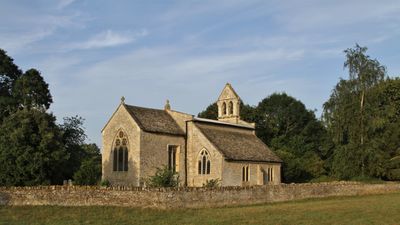
Church of St Mary, church in Hampton Poyle, Oxfordshire, United Kingdom
Posizione: Hampton Gay and Poyle
Coordinate GPS: 51.83610,-1.27811
Ultimo aggiornamento: 4 marzo 2025 alle 22:22
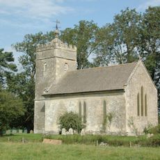
Church of St Giles
1.7 km
Church of St Mary
723 m
Sterling Cinema
1.5 km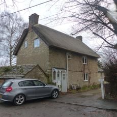
86 and 88, Church Street
786 m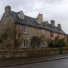
74 and 76, Church Street
799 m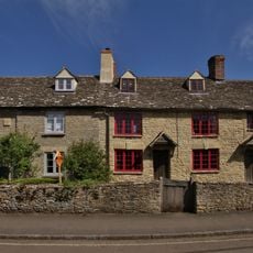
78, Church Street
788 m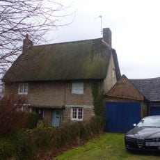
82 and 84, Church Street
797 m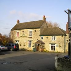
The Boat Public House
1.8 km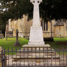
Kidlington and Hamlets War Memorial
765 m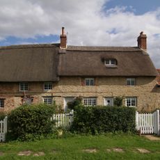
Thrupp Yard Cottages and attched outbuilding
1.5 km
Shipton Lift Bridge (219) Sp 4850 1675, Oxford Canal
1.8 km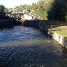
Bridge At Shipton Weir Lock, Oxford Canal
1.8 km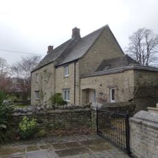
Old Priest's House
762 m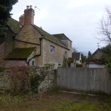
The Old Manor House
289 m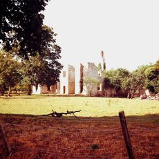
Ruins of Manor House
1.6 km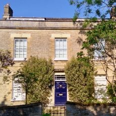
Exeter House
1.9 km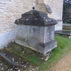
Chest tomb approximately 1/2 metre west of Church of St Mary
732 m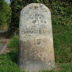
Milestone On Banbury Road, Kidlington
1.6 km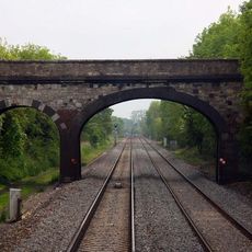
Railway Bridge At Sp 4832 1529
1.5 km
Manor Farmhouse
1.4 km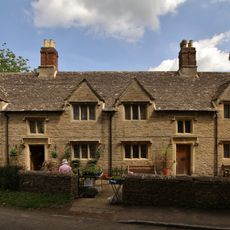
Morton Almshouses
763 m
Poyle Court
322 m
Model Farmhouse
459 m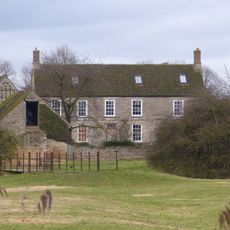
Manor Farmhouse
91 m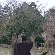
Dovecote and granary approximately 15 metres east of Manor Farmhouse
1.7 km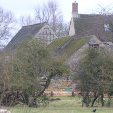
Outbuilding approximately 5 metres north west of Manor Farmhouse
87 m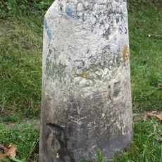
Milestone, Banbury Road; by No.118 & 120
1.6 km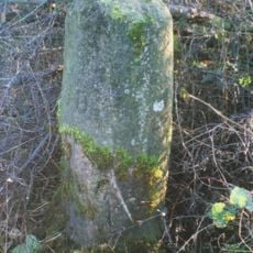
Milestone, Islip Road; between Diamond Farm and Bletchingdon
2.1 kmRecensioni
Ha visitato questo luogo? Tocchi le stelle per valutarlo e condividere la Sua esperienza o foto con la community! Provalo ora! Puoi annullarlo in qualsiasi momento.
Scopri tesori nascosti ad ogni viaggio!
Da piccoli caffè caratteristici a panorami nascosti, fuggi dalla folla e scova i posti che fanno davvero per te. La nostra app ti semplifica tutto: ricerca vocale, filtri furbi, percorsi ottimizzati e dritte autentiche da viaggiatori di tutto il mondo. Scaricala subito per vivere l'avventura sul tuo smartphone!

Un nuovo approccio alla scoperta turistica❞
— Le Figaro
Tutti i luoghi che meritano di essere esplorati❞
— France Info
Un’escursione su misura in pochi clic❞
— 20 Minutes