
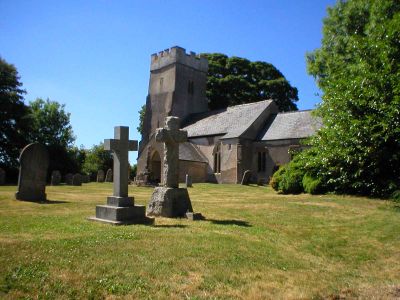
Church of St Mary Magdalene, church in West Somerset, United Kingdom
Posizione: Clatworthy
Coordinate GPS: 51.06990,-3.35353
Ultimo aggiornamento: 7 marzo 2025 alle 02:08
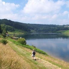
Clatworthy Reservoir
1.1 km
King's Castle
5.2 km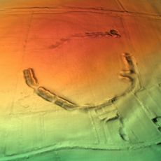
Elworthy Barrows
3.3 km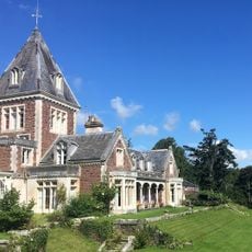
Abbotsfield
3.7 km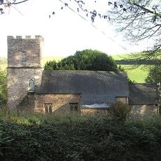
Church of St Martin, Elworthy
5 km
Clatworthy Camp
873 m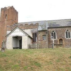
Church of St Michael, Raddington
5.9 km
Church of St Peter, Huish Champflower
1.8 km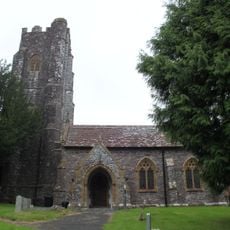
Church of All Saints
3.9 km
Church of St Mary
3.5 km
Church of St Andrew
4.4 km
Church of St Giles
6 km
Church of St John the Baptist
5 km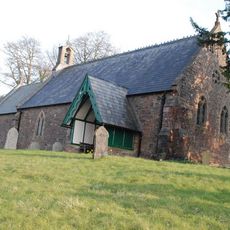
Church of St James
6 km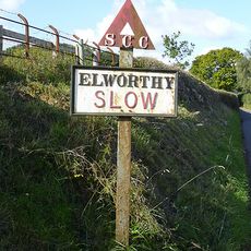
Sign Post At Ngr St 0851 3480
5.1 km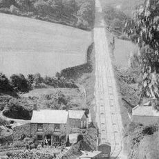
The Incline, lying between Brendon Hill and Comberow, and the remains of Combe Row Station
4.7 km
Hartrow Manor
5.8 km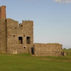
Burrow Farm Engine House And Remains Of Drying Shed About 10 Metres To West
5.7 km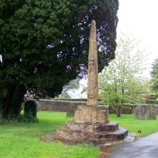
Churchyard Cross, Church Of St Andrew
4.4 km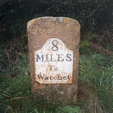
Milestone At Ngr St 0144 3334
4.5 km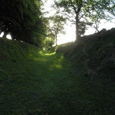
Burrow Farm iron mine and section of mineral railway trackbed, 350m north east of Burrow Farm
5.6 km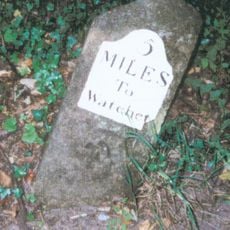
Milestone At Ngr St 0460 3613
5.3 km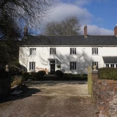
Kingston Farmhouse
5.6 km
Bowl barrow 700m north east of Burrow Farm
5.4 km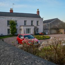
Hartswell House
4.6 km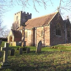
Churchyard Cross 10 Metres South East Of Church Of St John The Baptist
5 km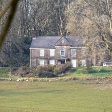
Middleton Court
4.1 km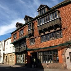
5 And 7, The Square
4.2 kmHa visitato questo luogo? Tocchi le stelle per valutarlo e condividere la Sua esperienza o foto con la community! Provalo ora! Puoi annullarlo in qualsiasi momento.
Scopri tesori nascosti ad ogni viaggio!
Da piccoli caffè caratteristici a panorami nascosti, fuggi dalla folla e scova i posti che fanno davvero per te. La nostra app ti semplifica tutto: ricerca vocale, filtri furbi, percorsi ottimizzati e dritte autentiche da viaggiatori di tutto il mondo. Scaricala subito per vivere l'avventura sul tuo smartphone!

Un nuovo approccio alla scoperta turistica❞
— Le Figaro
Tutti i luoghi che meritano di essere esplorati❞
— France Info
Un’escursione su misura in pochi clic❞
— 20 Minutes