
Carved rocks in Stobgreen Plantation, petroglyph in Eggleston, County Durham, England, UK
Posizione: Eggleston
Coordinate GPS: 54.60900,-1.98724
Ultimo aggiornamento: 23 marzo 2025 alle 07:51
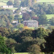
Eggleston Hall
1.3 km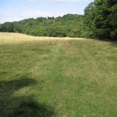
Shipley and Great Woods
2.5 km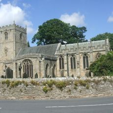
Church of St Romald
2.2 km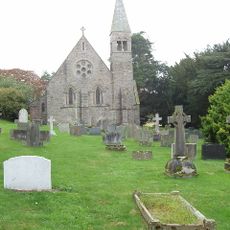
Church of Holy Trinity
1.1 km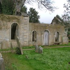
Former Church
1.2 km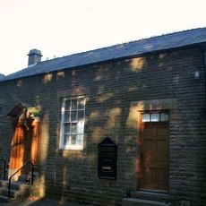
Eggleston Baptist Church
2.7 km
Blackton Bridge Over Eggleston Burn
2.3 km
The Kirk Inn
2.2 km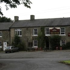
Three Tuns Hotel
1 km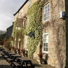
Rose And Crown Hotel
2.2 km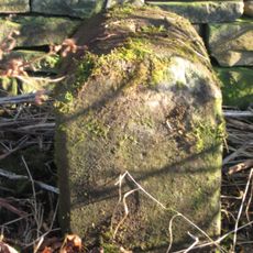
Township Road Marker Stone C.100 Metres South Of Handkerchief Plantation
1.5 km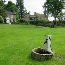
Water Pump And Trough, 45 Metres East Of Kirk Inn
2.2 km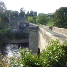
Eggleston Bridge
1.4 km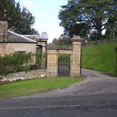
Low Lodge To Egglestone Hall
1.1 km
Gate Piers, Gates, Walls And Railings Of South Entrance To Eggleston Hall
1.1 km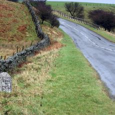
Milestone C.470 Metres East Of Folly Head
917 m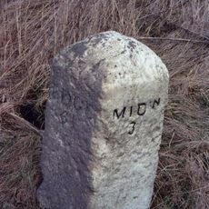
Milestone Circa 150 Metres North West Of Burn Bridge
2.2 km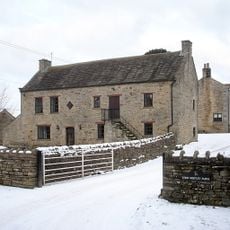
Byres And Loft South-East Of High Shipley
2.2 km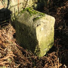
Township Road Marker Stone Opposite Howegill Plantation
2.9 km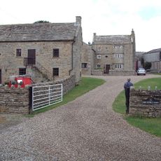
High Shipley
2.2 km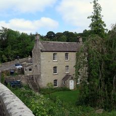
Collingwood And Retaining Wall To Left
1.4 km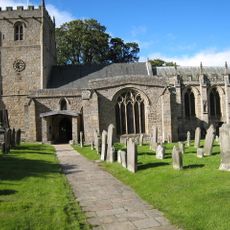
3 Headstones To Raine Family About 20 Metres South Of Church Of St Romald
2.2 km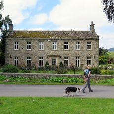
Beckwath
2.1 km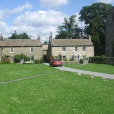
Kirkstile
2.2 km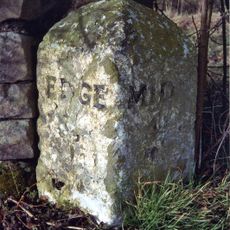
Milestone Circa 50 Metres East Of Stobgreen Sike
776 m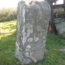
Boundary Stone
2.1 km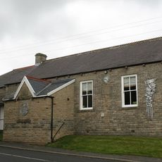
Eggleston Village Hall
995 m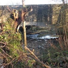
Egglesburn Bridge
2.1 kmRecensioni
Ha visitato questo luogo? Tocchi le stelle per valutarlo e condividere la Sua esperienza o foto con la community! Provalo ora! Puoi annullarlo in qualsiasi momento.
Scopri tesori nascosti ad ogni viaggio!
Da piccoli caffè caratteristici a panorami nascosti, fuggi dalla folla e scova i posti che fanno davvero per te. La nostra app ti semplifica tutto: ricerca vocale, filtri furbi, percorsi ottimizzati e dritte autentiche da viaggiatori di tutto il mondo. Scaricala subito per vivere l'avventura sul tuo smartphone!

Un nuovo approccio alla scoperta turistica❞
— Le Figaro
Tutti i luoghi che meritano di essere esplorati❞
— France Info
Un’escursione su misura in pochi clic❞
— 20 Minutes