
Taynton, village and civil parish in Forest of Dean, Gloucestershire, England
Posizione: Forest of Dean
Coordinate GPS: 51.89350,-2.39528
Ultimo aggiornamento: 5 marzo 2025 alle 22:00

International Centre for Birds of Prey
3.2 km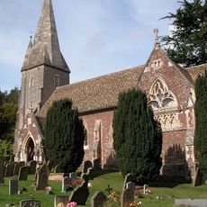
Church of St John the Baptist
2.6 km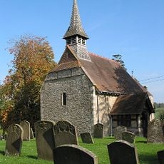
Church of St Michael
3.8 km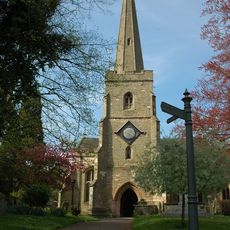
Church of St Mary
4.2 km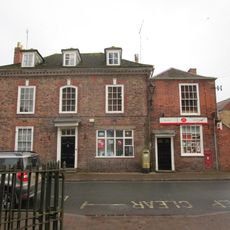
Post Office
4.2 km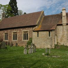
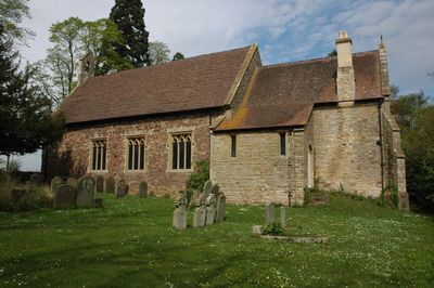
Church of St Lawrence
924 m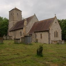
Church of the Holy Trinity
2.8 km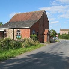
Methodist Chapel
3.3 km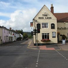
Red Lion
2.5 km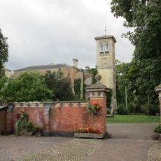
Tibberton Court
2.7 km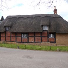
Bradfords Cottage
4.2 km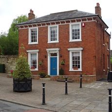
Albion House
4.1 km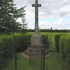
Huntley War Memorial
2.5 km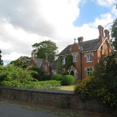
Old School
3 km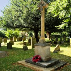
Taynton War Memorial
915 m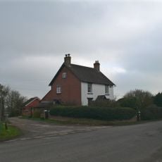
The Laurels
3.7 km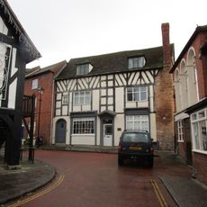
Harwood House
4.1 km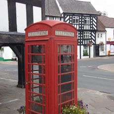
K6 Telephone Kiosk Outside Market House
4.1 km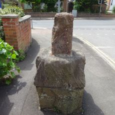
Base To Cross, About 7 Metres North Of Junction With Main Road
2.5 km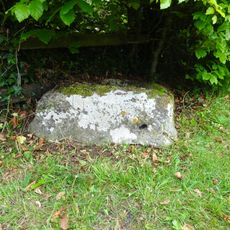
Cross Base
3.5 km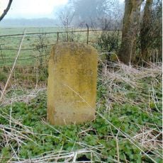
Milestone
3.7 km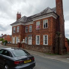
The Tan House
4.1 km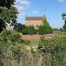
Birdwood House
3.3 km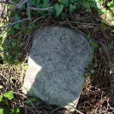
Milestone, About 41 Metres East Of Springfield House
2.8 km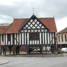
Market House
4.1 km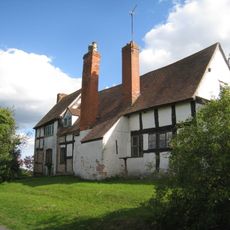
Pound Farmhouse
2.4 km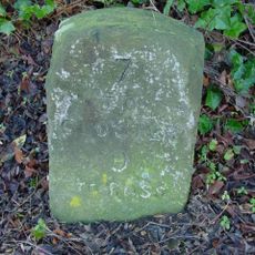
Milestone, About 56 Metres West Of Barn, Huntley Court
2.6 km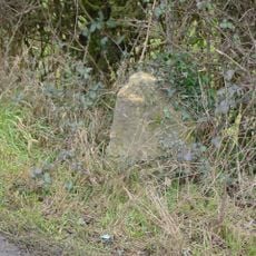
Milestone, Highleadon
4.2 kmHa visitato questo luogo? Tocchi le stelle per valutarlo e condividere la Sua esperienza o foto con la community! Provalo ora! Puoi annullarlo in qualsiasi momento.
Scopri tesori nascosti ad ogni viaggio!
Da piccoli caffè caratteristici a panorami nascosti, fuggi dalla folla e scova i posti che fanno davvero per te. La nostra app ti semplifica tutto: ricerca vocale, filtri furbi, percorsi ottimizzati e dritte autentiche da viaggiatori di tutto il mondo. Scaricala subito per vivere l'avventura sul tuo smartphone!

Un nuovo approccio alla scoperta turistica❞
— Le Figaro
Tutti i luoghi che meritano di essere esplorati❞
— France Info
Un’escursione su misura in pochi clic❞
— 20 Minutes