Ivonbrook Grange, civil parish in Derbyshire Dales district, Derbyshire, England
Posizione: Derbyshire Dales
Confina con: Winster, Brassington, Aldwark, Ible, Bonsall
Coordinate GPS: 53.12142,-1.64134
Ultimo aggiornamento: 13 marzo 2025 alle 03:09

Minninglow
3.3 km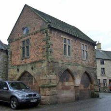
Winster Market House
2.2 km
Duke of York Inn
3.3 km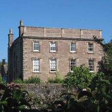
Winster Hall
2.3 km
St John the Baptist's Church, Winster
2.3 km
All Saints' Church, Elton
3.3 km
Green Low chambered tomb
984 m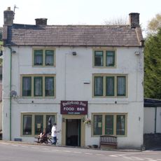
Holly Bush Inn
708 m
Harboro' Cave
3.1 km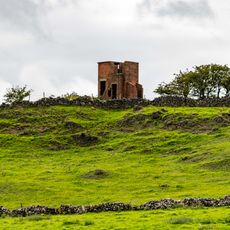
World War Two Observation Post
3.4 km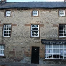
Holmelea
2.3 km
The Youth Hostel
3.1 km
Barker Barn
2.7 km
Railway Bridge
3 km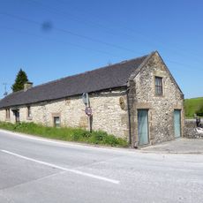
Toll Bar Cowshed
719 m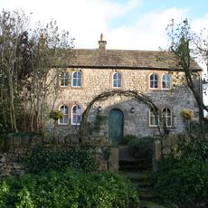
Bank Top Farmhouse
1.9 km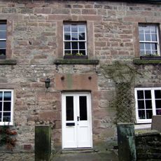
The Old Shoulder Of Mutton Inn
2.2 km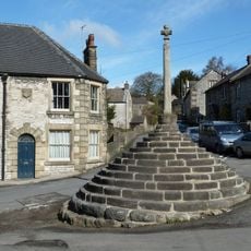
Market Cross
3.8 km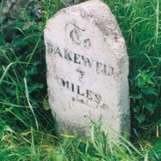
Milepost 400 Yards South West Of Winstermoor Farm
1.1 km
Holmedene Farmhouse
3.2 km
Milepost 300 Yards South Of The Junction Of New Road And Chadwick Hill
2.5 km
Stables To The West Of The Duke Of York Inn
3.3 km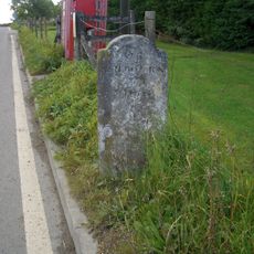
Milestone
2.9 km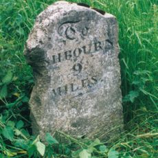
Milepost 300 Yards North Of The Holly Bush Inn
546 m
Homestead Farmhouse And Homestead Cottage
3.2 km
Meadowside
3.5 km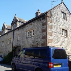
8 And 10, High Street
3.8 km
Milestone, between Grangemill & Longcliffe
1.7 kmHa visitato questo luogo? Tocchi le stelle per valutarlo e condividere la Sua esperienza o foto con la community! Provalo ora! Puoi annullarlo in qualsiasi momento.
Scopri tesori nascosti ad ogni viaggio!
Da piccoli caffè caratteristici a panorami nascosti, fuggi dalla folla e scova i posti che fanno davvero per te. La nostra app ti semplifica tutto: ricerca vocale, filtri furbi, percorsi ottimizzati e dritte autentiche da viaggiatori di tutto il mondo. Scaricala subito per vivere l'avventura sul tuo smartphone!

Un nuovo approccio alla scoperta turistica❞
— Le Figaro
Tutti i luoghi che meritano di essere esplorati❞
— France Info
Un’escursione su misura in pochi clic❞
— 20 Minutes