
East Huntspill, human settlement in the United Kingdom
Posizione: Sedgemoor
Coordinate GPS: 51.19900,-2.94100
Ultimo aggiornamento: 1 maggio 2025 alle 21:12
Church of St Mark, Mark
4.8 km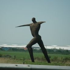
Willow Man
6.1 km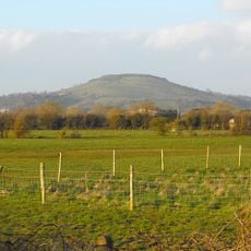
Brent Knoll
6.1 km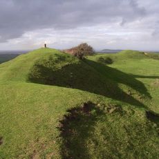
Brent Knoll Camp
6.1 km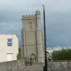
St Andrew's Church
5.9 km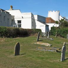
Burnham-on-Sea Round Tower
6.1 km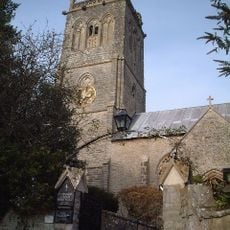
Church of St Michael, Brent Knoll
6 km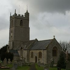
Church of St Mary, Woolavington
3.2 km
Church of St Michael and All Angels, Puriton
3.9 km
Church of St John the Baptist, Pawlett
4.8 km
Catcott, Edington and Chilton Moors
5.4 km
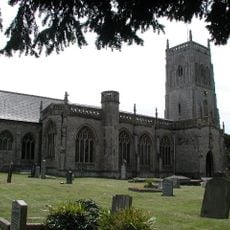
St Peter and All Hallows Church, West Huntspill
3.9 km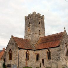
Church of St Michael and All Angels
5.3 km
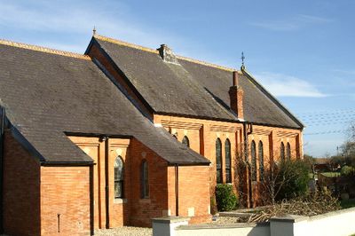
Church of All Saints
288 m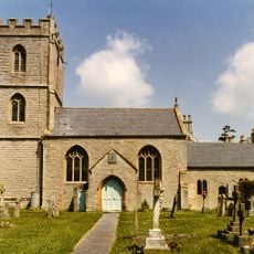
Church of St Mary
4.8 km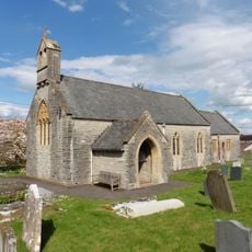
Church of St Edward
5.7 km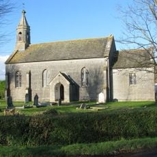
Church of St Philip and St James
5.4 km
Rich's Cider Farm
2.2 km
Down End Castle
4.9 km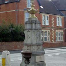
Drinking Fountain At The Junction Of Sea View And Berrow Road
6.1 km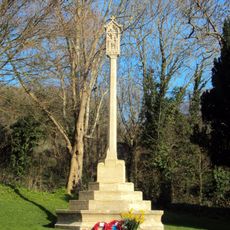
Brent Knoll War Memorial
5.9 km
Upper Southwick Farmhouse
2.4 km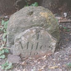
Milestone On Roadside At Ngr St 3532 3985
5.1 km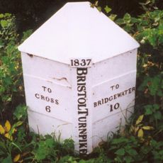
Milepost At Ngr St 3495 5100
6.2 km
Gateway To Puriton Manor
4 km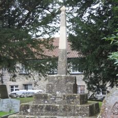
Former Market Cross in churchyard, Church of St Mark
4.8 km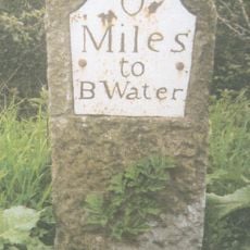
Milepost On Roadside At Ngr St 3122 4597
3.3 km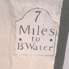
Milepost, Church Street, Highbridge, by No. 10
3.4 kmRecensioni
Ha visitato questo luogo? Tocchi le stelle per valutarlo e condividere la Sua esperienza o foto con la community! Provalo ora! Puoi annullarlo in qualsiasi momento.
Scopri tesori nascosti ad ogni viaggio!
Da piccoli caffè caratteristici a panorami nascosti, fuggi dalla folla e scova i posti che fanno davvero per te. La nostra app ti semplifica tutto: ricerca vocale, filtri furbi, percorsi ottimizzati e dritte autentiche da viaggiatori di tutto il mondo. Scaricala subito per vivere l'avventura sul tuo smartphone!

Un nuovo approccio alla scoperta turistica❞
— Le Figaro
Tutti i luoghi che meritano di essere esplorati❞
— France Info
Un’escursione su misura in pochi clic❞
— 20 Minutes