Attiva posizione

Abbiamo bisogno della tua posizione per mostrarti luoghi interessanti intorno a te

Scopri luoghi nelle vicinanze

Trova luoghi interessanti e gemme nascoste intorno a te

Indicazioni precise

Ottieni indicazioni precise e distanze verso i luoghi

La tua posizione non viene mai condivisa con altri utenti. Viene utilizzata solo quando tocchi il pulsante posizione.

Raby with Keverstone

Accedi al tuo account

Inizia a esplorare — è gratis

Scelto da 64.034 viaggiatori nel mondo

Continua con Google
Continua con Apple
o

Ti invieremo un codice per connetterti

Continuando, accetti i nostri Termini e Condizioni e la nostra Informativa sulla Privacy

Controlla la tua casella di posta

Abbiamo inviato un codice PIN nella tua casella di posta. Inserisci il codice qui sotto.

Discussion Recensioni 1 Foto
100+ Popolarità

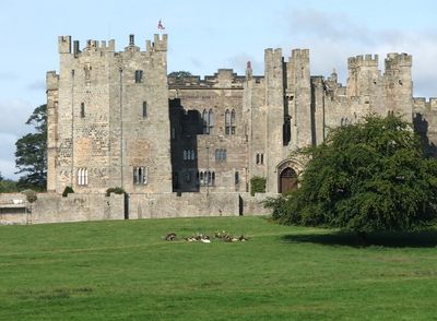
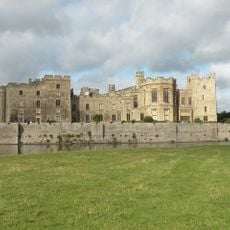
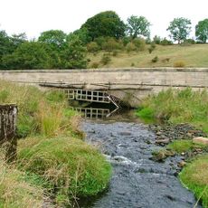
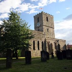
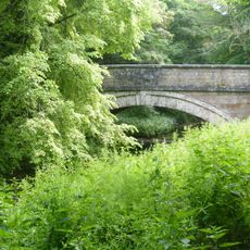
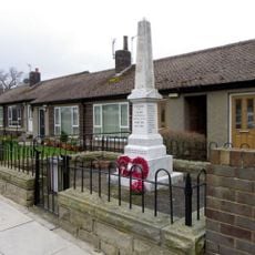
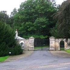
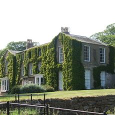
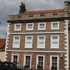
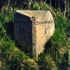
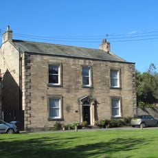
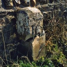
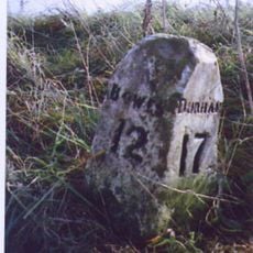
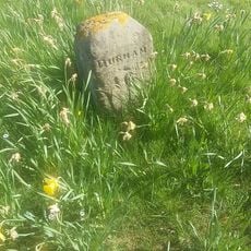
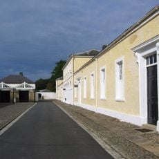
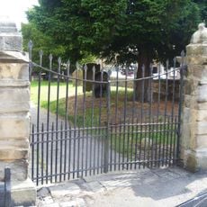
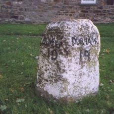
Raby with Keverstone, civil parish in County Durham, England

La comunità dei viaggiatori curiosi

AroundUs riunisce migliaia di luoghi selezionati, consigli locali e gemme nascoste, arricchiti ogni giorno da oltre 60,000 contributori in tutto il mondo.

Inizia a esplorare
Posizione
Coordinate GPS
54.59200,-1.80200
Ultimo aggiornamento
7 aprile 2025 alle 20:16
Intorno a questo luogo
Castello di Raby
Regno Unito

Castello di Raby

121 m
La schiava greca

La schiava greca

130 m
Swin Bridge
Regno Unito

Swin Bridge

3.9 km
Church of St Mary, Staindrop
Regno Unito

Church of St Mary, Staindrop

1.3 km
County Bridge Marker Approximately 100 Metres South Of Spinkford Bridge
Regno Unito

County Bridge Marker Approximately 100 Metres South Of Spinkford Bridge

1.9 km
Church of St. Mary
Regno Unito

Church of St. Mary

2.4 km
Milestone Approximately C.800 Metres North Of Church Bridge, Staindrop
Regno Unito

Milestone Approximately C.800 Metres North Of Church Bridge, Staindrop

511 m
Vane Mausoleum Approximately 100 Metres North Of Church Of St. Mary
Regno Unito

Vane Mausoleum Approximately 100 Metres North Of Church Of St. Mary

1.2 km
Church Bridge Over Langley Beck
Regno Unito

Church Bridge Over Langley Beck

1.2 km
Butterknowle War Memorial
Regno Unito

Butterknowle War Memorial

4.5 km
North Gatehouse And Walls Attached Enclosing Castle; Gate House Formerly Listed As 'porter's Lodge'
Regno Unito

North Gatehouse And Walls Attached Enclosing Castle; Gate House Formerly Listed As 'porter's Lodge'

45 m
Newsham Hall
Regno Unito

Newsham Hall

4.1 km
7, Front Street
Regno Unito

7, Front Street

1.3 km
Keverstone Grange Farmhouse With Outbuildings Attached
Regno Unito

Keverstone Grange Farmhouse With Outbuildings Attached

1.2 km
Base Stone Of Cross
Regno Unito

Base Stone Of Cross

3.4 km
Milestone, 500 Metres South Of Alwent Farmhouse
Regno Unito

Milestone, 500 Metres South Of Alwent Farmhouse

2.7 km
Raby House
Regno Unito

Raby House

1.3 km
South Entrance Gateway To Raby Castle
Regno Unito

South Entrance Gateway To Raby Castle

1.2 km
Railway Indicator Stone C.3 1/2 Metres East Of Skew Bridge
Regno Unito

Railway Indicator Stone C.3 1/2 Metres East Of Skew Bridge

3.9 km
Milestone, 600 Metres North-East Of High Barford Farmhouse
Regno Unito

Milestone, 600 Metres North-East Of High Barford Farmhouse

4.2 km
Stable Block North-East Of Stables And Coach-House
Regno Unito

Stable Block North-East Of Stables And Coach-House

196 m
Milestone Approximately 4 Metres South-East Of Spinkford Bridge
Regno Unito

Milestone Approximately 4 Metres South-East Of Spinkford Bridge

1.9 km
Milestone C.200 Metres South-East Of Keverstone Grange Farmhouse
Regno Unito

Milestone C.200 Metres South-East Of Keverstone Grange Farmhouse

1.5 km
Milestone C.40 Metres South Of Sun Inn
Regno Unito

Milestone C.40 Metres South Of Sun Inn

2.8 km
Stables And Coachhouse, With Wall And Mounting-block Attached
Regno Unito

Stables And Coachhouse, With Wall And Mounting-block Attached

156 m
Gates Piers And Gates C.50 Metres South-West Of Church Of St. Mary
Regno Unito

Gates Piers And Gates C.50 Metres South-West Of Church Of St. Mary

1.3 km
Parish Boundary Stone C.100 Metres East Of Lead Mill House, On South Side Of Road
Regno Unito

Parish Boundary Stone C.100 Metres East Of Lead Mill House, On South Side Of Road

5.3 km
Milestone Approximately 10 Metres North Of No. 34 South Green
Regno Unito

Milestone Approximately 10 Metres North Of No. 34 South Green

1.4 km
Mostra la mappa completa
Recensioni
Condividi la tua esperienza

No review yet

Discussioni
Avvia una discussione...

No discussion yet

« Raby with Keverstone - civil parish in County Durham, England » è fornito da Around Us (it.aroundus.com). Le immagini e i testi sono tratti dal progetto Wikimedia con licenza Creative Commons. È possibile copiare, distribuire e modificare copie di questa pagina, alle condizioni stabilite dalla licenza, a condizione che questa nota sia chiaramente visibile.

Scopri tesori nascosti ad ogni viaggio!

Da piccoli caffè caratteristici a panorami nascosti, fuggi dalla folla e scova i posti che fanno davvero per te. La nostra app ti semplifica tutto: ricerca vocale, filtri furbi, percorsi ottimizzati e dritte autentiche da viaggiatori di tutto il mondo. Scaricala subito per vivere l'avventura sul tuo smartphone!

Around Us App Screenshot

Un nuovo approccio alla scoperta turistica

Le Figaro

Tutti i luoghi che meritano di essere esplorati

France Info

Un’escursione su misura in pochi clic

20 Minutes

Around Us
Guida di viaggio e mappe
Scarica

Invia al tuo telefono

QR Code
1

Apri l'app fotocamera sul tuo cellulare.

2

Inquadra il codice QR con la fotocamera. Apparirà una notifica.

3

Tocca la notifica per aprire il link.