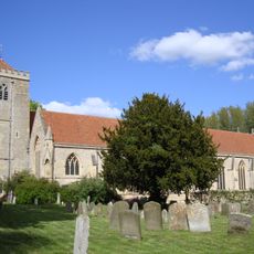
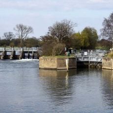
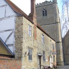
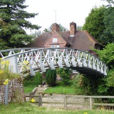
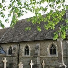
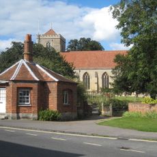
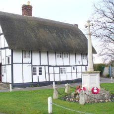
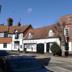
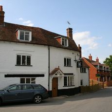
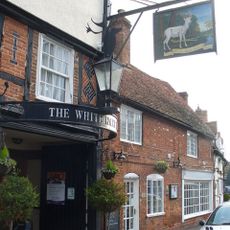
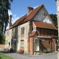
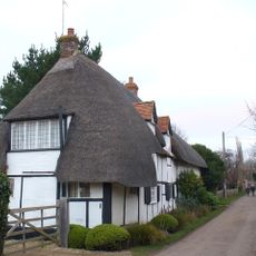
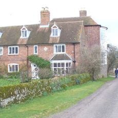
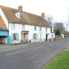
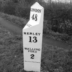
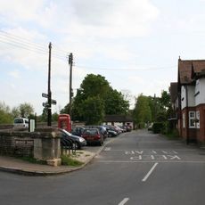
Dorchester, civil parish in South Oxfordshire, Oxfordshire, England
Posizione: South Oxfordshire
Confina con: Long Wittenham, Little Wittenham, Brightwell-cum-Sotwell, Warborough, Berinsfield, Clifton Hampden
Coordinate GPS: 51.64644,-1.16310
Ultimo aggiornamento: 3 marzo 2025 alle 02:25
Dorchester Abbey
318 m
Day's Lock
1.4 km
Dorchester Abbey Museum
320 m
Little Wittenham Bridge
1.5 km
Church of St Birinus
583 m
The Toll House And Attached Churchyard Wall
399 m
The George Hotel
337 m
Fleur De Lys Inn
384 m
Watling Lane Cottage
298 m
Post Office
312 m
Milestone Approximately 20 Metres West Of The Toll House
390 m
The Chequers Public House
605 m
The White Hart Hotel Bar
289 m
Abbey Guest House
320 m
Orchard Cottage
453 m
Overy Farmhouse
616 m
Willoughby House
296 m
Milepost Approximately 500 Metres North West Of Junction Of Wharf Road
1.7 km
7th Photo Group Memorial, Berinsfield
1.7 km
K6 Telephone Kiosk, Bridge End
460 m
The Bridge And Causeway
639 m
4, High Street
374 m
55, High Street
291 m
Thatchings
221 m
Churchyard Cross Approximately 6 Metres South Of Dorchester Abbey
347 m
Lychgate Approximately 40 Metres West Of Dorchester Abbey
329 m
Bridge House
638 m
Overy Mill
480 mHa visitato questo luogo? Tocchi le stelle per valutarlo e condividere la Sua esperienza o foto con la community! Provalo ora! Puoi annullarlo in qualsiasi momento.
Scopri tesori nascosti ad ogni viaggio!
Da piccoli caffè caratteristici a panorami nascosti, fuggi dalla folla e scova i posti che fanno davvero per te. La nostra app ti semplifica tutto: ricerca vocale, filtri furbi, percorsi ottimizzati e dritte autentiche da viaggiatori di tutto il mondo. Scaricala subito per vivere l'avventura sul tuo smartphone!
Un nuovo approccio alla scoperta turistica❞
— Le Figaro
Tutti i luoghi che meritano di essere esplorati❞
— France Info
Un’escursione su misura in pochi clic❞
— 20 Minutes