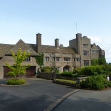
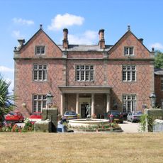
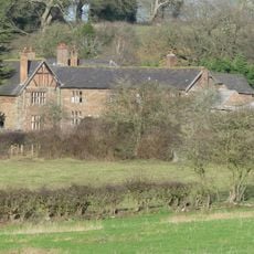
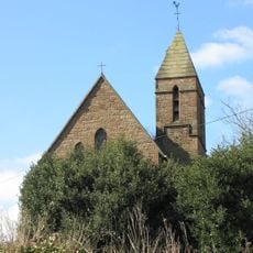
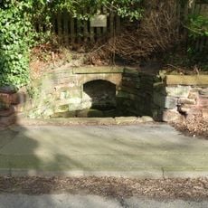
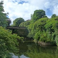
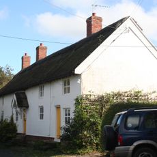
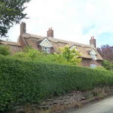
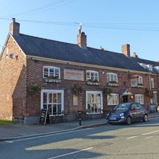
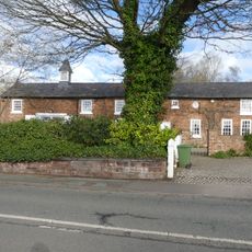
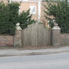
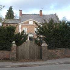
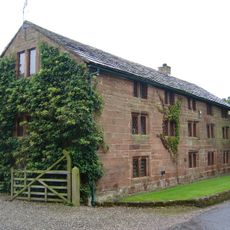
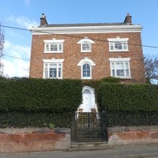
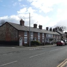
Utkinton and Cotebrook, civil parish in Cheshire West and Chester, Cheshire, England
Posizione: Cheshire West and Chester
Confina con: Clotton Hoofield, Tarporley, Little Budworth, Delamere and Oakmere
Coordinate GPS: 53.18284,-2.67934
Ultimo aggiornamento: 11 marzo 2025 alle 09:07
Tirley Garth
958 m
Willington Hall
1.6 km
Utkinton Hall
886 m
St John's Church, Cotebrook
2.4 km
Salters Well
2.3 km
32 High Street, Tarporley
2.6 km
The Monks Well
2.7 km
16, Northgate
193 m
Eaton Cottage
3.1 km
The Rising Sun
2.7 km
East garden walls and gatepiers to Utkinton Hall
890 m
Terrace walls 70m north of Utkinton Hall
812 m
Roadside wall and gatepiers, and the west terrace walls at Utkinton Hall
853 m
Coach House at Salters Well House
2.2 km
Garden walls and gate piers to Rode Street House
2 km
Rode Street House
2 km
The Bailiff's House
826 m
31, 33 and 35, Forest Road
2.5 km
31, High Street
2.5 km
Mile Stone
2.7 km
25–29, High Street
2.5 km
Wall, gate and screen of railings before Salters Well House
2.3 km
Barn 35 metres east of Utkinton Hall
897 m
59 & 61, High Street
2.7 km
The Old School House
3.2 km
Salters Well House
2.3 km
17–21, High Street
2.5 km
Milepost, Heathfield
3.1 kmRecensioni
Ha visitato questo luogo? Tocchi le stelle per valutarlo e condividere la Sua esperienza o foto con la community! Provalo ora! Puoi annullarlo in qualsiasi momento.
Scopri tesori nascosti ad ogni viaggio!
Da piccoli caffè caratteristici a panorami nascosti, fuggi dalla folla e scova i posti che fanno davvero per te. La nostra app ti semplifica tutto: ricerca vocale, filtri furbi, percorsi ottimizzati e dritte autentiche da viaggiatori di tutto il mondo. Scaricala subito per vivere l'avventura sul tuo smartphone!
Un nuovo approccio alla scoperta turistica❞
— Le Figaro
Tutti i luoghi che meritano di essere esplorati❞
— France Info
Un’escursione su misura in pochi clic❞
— 20 Minutes