Hulland, civil parish in Derbyshire Dales, Derbyshire, England
Posizione: Derbyshire Dales
Confina con: Hognaston, Atlow, Bradley, Brailsford, Hulland Ward, Biggin by Hulland
Coordinate GPS: 53.02100,-1.63300
Ultimo aggiornamento: 3 marzo 2025 alle 03:43
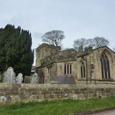
Holy Trinity Church, Kirk Ireton
3.8 km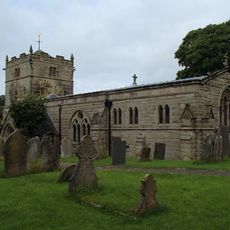
Church of St Bartholomew
3.6 km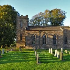
Christ Church
346 m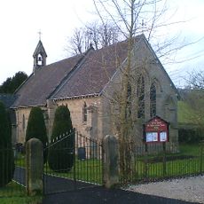
Church of St Phillip and St James
2.3 km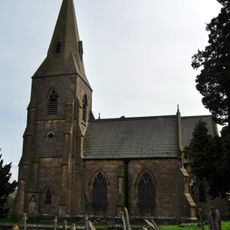
Church of St James
4.3 km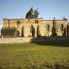
Church of All Saints
2.6 km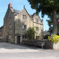
The Barley Mow Inn
3.6 km
House South West Of Churchyard Gates
3.7 km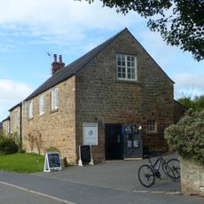
Outbuildings And Former Outbuildings To The West Of The Barley Mow Inn
3.5 km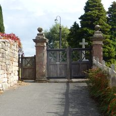
The Gate Piers To Holy Trinity Churchyard
3.7 km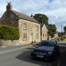
House To The South West Of Green Farm
3.7 km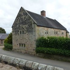
Church Farmhouse
3.8 km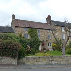
The Manor House
3.7 km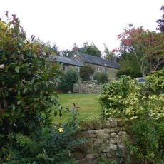
Upperfield Farmhouse And Adjoining Barn To The West
3.9 km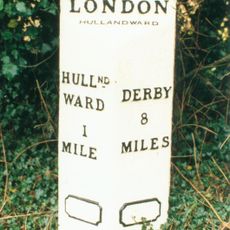
Mile Post At Os 282 453
3.9 km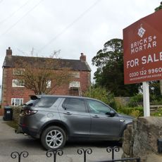
Green Farmhouse
3.8 km
Farmhouse And Attached Outbuildings To The South Of Well Banks
3.5 km
Northfield Farmhouse And Garden Wall
3.7 km
Buxton Hall Farmhouse
3.6 km
Woodhead Farm
3.2 km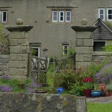
Gate piers at Woodhead Farm
3.2 km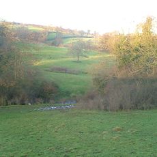
Atlow moated site, enclosures and causeway
2.4 km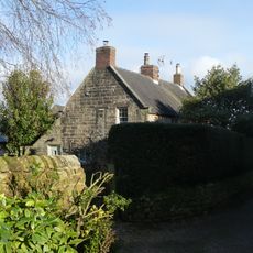
Prospect House
3.6 km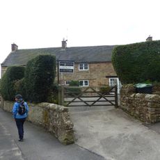
Rose Bank
3.7 km
Methodist Sunday School
3.6 km
Well Banks (at the junction of Well Banks and Nether Lane)
3.5 km
Barn at Woodhead Farm
3.1 km
Blackwall Farmhouse
2.5 kmHa visitato questo luogo? Tocchi le stelle per valutarlo e condividere la Sua esperienza o foto con la community! Provalo ora! Puoi annullarlo in qualsiasi momento.
Scopri tesori nascosti ad ogni viaggio!
Da piccoli caffè caratteristici a panorami nascosti, fuggi dalla folla e scova i posti che fanno davvero per te. La nostra app ti semplifica tutto: ricerca vocale, filtri furbi, percorsi ottimizzati e dritte autentiche da viaggiatori di tutto il mondo. Scaricala subito per vivere l'avventura sul tuo smartphone!

Un nuovo approccio alla scoperta turistica❞
— Le Figaro
Tutti i luoghi che meritano di essere esplorati❞
— France Info
Un’escursione su misura in pochi clic❞
— 20 Minutes