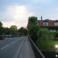
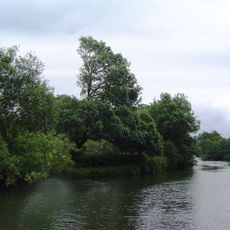
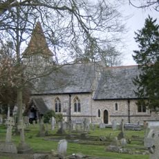
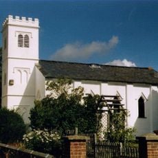
Binfield Heath with Eye and Dunsden, civil parish in South Oxfordshire district, Oxfordshire, England
Posizione: South Oxfordshire
Confina con: Eye and Dunsden, Shiplake
Coordinate GPS: 51.50478,-0.93671
Ultimo aggiornamento: 11 aprile 2025 alle 01:33
The Deanery
3.8 km
Caversham Park
3.1 km
The Mill at Sonning
3.5 km
Crowsley Park
1.4 km
St Andrew's Church, Sonning
3.8 km
Sonning Bridge
3.6 km
Bull Inn
3.9 km
Sonning Lock
3.8 km
Shiplake Lock
3.7 km
Clayfield Copse
2.3 km
Sonning Backwater Bridges
3.4 km
Phillimore Island
3.3 km
The Lynch
3.2 km
Buck Ait
3.3 km
Kidmore House
3.5 km
Hallsmead Ait
3.2 km
Church of St Peter and St Paul, Shiplake
2.9 km
Bellehatch Park House
1.4 km
Church of All Saints
3.6 km
Roman Catholic Church of the Sacred Heart
3.7 km
Church of St Nicholas, Rotherfield Greys
3.6 km
Grace Church
3.6 km
Church of St Margaret
3.1 km
Old Grove House
3.4 km
The Church of Christ the King
3.6 km
The Bottle And Glass Public House
593 m
Lower Shiplake War Memorial
3.3 km
Shiplake College, Water Tower Approximately 90 Metres North West
2.9 kmRecensioni
Ha visitato questo luogo? Tocchi le stelle per valutarlo e condividere la Sua esperienza o foto con la community! Provalo ora! Puoi annullarlo in qualsiasi momento.
Scopri tesori nascosti ad ogni viaggio!
Da piccoli caffè caratteristici a panorami nascosti, fuggi dalla folla e scova i posti che fanno davvero per te. La nostra app ti semplifica tutto: ricerca vocale, filtri furbi, percorsi ottimizzati e dritte autentiche da viaggiatori di tutto il mondo. Scaricala subito per vivere l'avventura sul tuo smartphone!
Un nuovo approccio alla scoperta turistica❞
— Le Figaro
Tutti i luoghi che meritano di essere esplorati❞
— France Info
Un’escursione su misura in pochi clic❞
— 20 Minutes