Rewe, civil parish in East Devon, Devon, England
Posizione: East Devon
Coordinate GPS: 50.80345,-3.49136
Ultimo aggiornamento: 8 marzo 2025 alle 23:16
Killerton
2.7 km
Silverton Park
2.3 km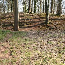
Dolbury
2.2 km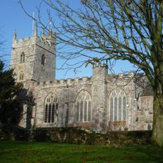
Parish Church of St Mary the Virgin, Silverton
1.5 km
Chapel of St John the Baptist, Nether Exe
2.5 km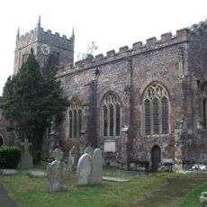
Church of St Thomas of Canterbury
2.6 km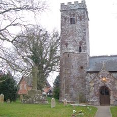
The Parish Church of St Mary
2.3 km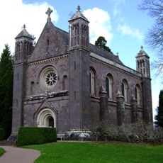
Chapel Of The Holy Evangelists
2.9 km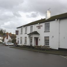
Thorverton Arms
2.5 km
Columbjohn Chapel And Churchyard Wall
1.8 km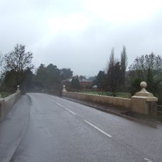
Thorverton Bridge
1.4 km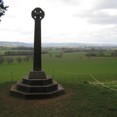
Acland Memorial Cross 240 Metres North West Of Killerton House
2.4 km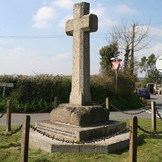
Cross Base At Junction Of Green Lane And A396
1.8 km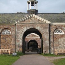
Former Stable Block 260 Metres East Of Killerton House
3 km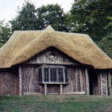
The Bear's Hut
2.5 km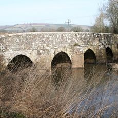
Ellerhayes Bridge
2.6 km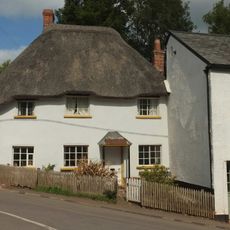
Crossways
2.7 km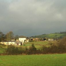
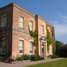
Hayne House
1.6 km
Walls And Gatepiers 50 Metres North East Of Killerton Chapel
2.9 km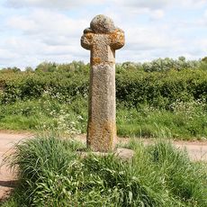
Wayside cross called Burrow Cross 40m south east of Burrow Farm
2.6 km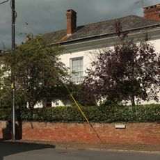
Berry House
2.6 km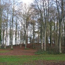
Dolbury hillfort, 320m north of Killerton House
2.5 km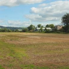
Thorverton Mill
1.5 km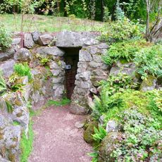
Ice House 183m west-north-west of Killerton House
2.5 km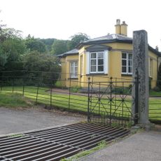
Park Lodge
3 km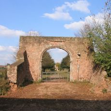
Ruins Of Gatehouse 130 Metres West Of Columbjohn Farmhouse
2 km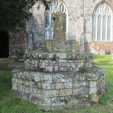
Standing cross 6m south of St Mary's Church
1.4 km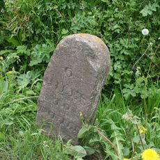
Milestone, 60m S of Heazille House and quarter mile N of Rewe
1.3 kmHa visitato questo luogo? Tocchi le stelle per valutarlo e condividere la Sua esperienza o foto con la community! Provalo ora! Puoi annullarlo in qualsiasi momento.
Scopri tesori nascosti ad ogni viaggio!
Da piccoli caffè caratteristici a panorami nascosti, fuggi dalla folla e scova i posti che fanno davvero per te. La nostra app ti semplifica tutto: ricerca vocale, filtri furbi, percorsi ottimizzati e dritte autentiche da viaggiatori di tutto il mondo. Scaricala subito per vivere l'avventura sul tuo smartphone!

Un nuovo approccio alla scoperta turistica❞
— Le Figaro
Tutti i luoghi che meritano di essere esplorati❞
— France Info
Un’escursione su misura in pochi clic❞
— 20 Minutes