Brenchley and Matfield, civil parish in Tunbridge Wells, Kent, England
Posizione: Tunbridge Wells
Coordinate GPS: 51.14439,0.38958
Ultimo aggiornamento: 7 marzo 2025 alle 01:38
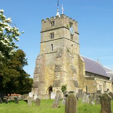
Parish Church of All Saints
970 m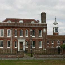
Matfield House
1.7 km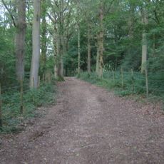
Brookland Wood
2.6 km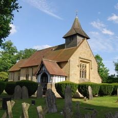
Chapel Of Ease Of St Luke
1.9 km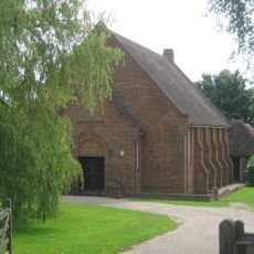
Ebenezer Church (Matfield)
1.5 km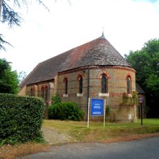
All Saints Roman Catholic Church
3.3 km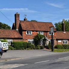
Standings Cross Public House
1.6 km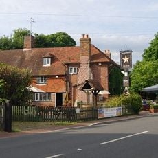
The Star Public House
1.6 km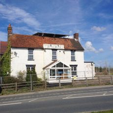
The Blue Boys Inn
2.8 km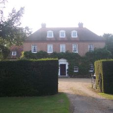
Sprivers
2.4 km
The Rose And Crown Public House
970 m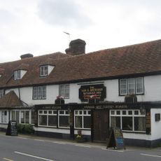
The Gun And Spitroast Public House And Rear Courtyard
2.8 km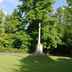
Matfield War Memorial
1.8 km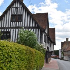
The Old Palace
991 m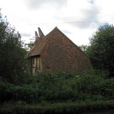
Barn Incorporating Oasthouse About 50 Metres North East Of Catts Place
3.2 km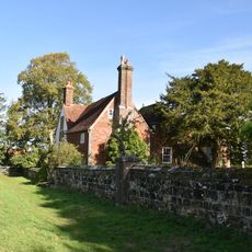
Little Hawkwell Farmhouse
3.9 km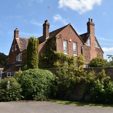
Gatehouse Farmhouse
732 m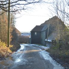
Barn And Outhouses About 20 Metres North Of Park Farmhouse
4.1 km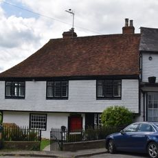
The Old Vicarage
984 m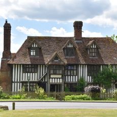
The Old Workhouse
962 m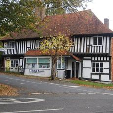
Terry's Town Farm Cottage Town Farmhouse
1 km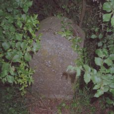
Milestone Cottages
2.4 km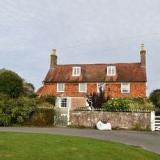
Hatherliegh Including Garden Walls And Gate To The East
1.7 km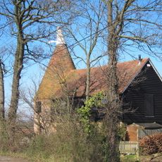
Oasthouse Immediately West Of Mile Oak Farmhouse
2.8 km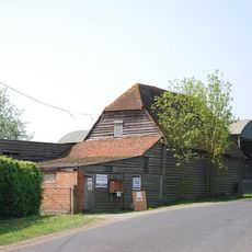
Barn About 50 Metres South Of Yew Tree Farmhouse
3.3 km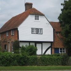
Yew Tree Farmhouse
3.3 km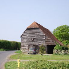
Barn About 30 Metres South Of Yew Tree Farmhouse
3.3 km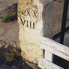
Milestone, Brenchley Road, by Milestone Cottage, W end of village
781 mHa visitato questo luogo? Tocchi le stelle per valutarlo e condividere la Sua esperienza o foto con la community! Provalo ora! Puoi annullarlo in qualsiasi momento.
Scopri tesori nascosti ad ogni viaggio!
Da piccoli caffè caratteristici a panorami nascosti, fuggi dalla folla e scova i posti che fanno davvero per te. La nostra app ti semplifica tutto: ricerca vocale, filtri furbi, percorsi ottimizzati e dritte autentiche da viaggiatori di tutto il mondo. Scaricala subito per vivere l'avventura sul tuo smartphone!

Un nuovo approccio alla scoperta turistica❞
— Le Figaro
Tutti i luoghi che meritano di essere esplorati❞
— France Info
Un’escursione su misura in pochi clic❞
— 20 Minutes