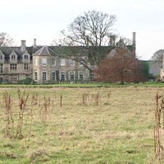
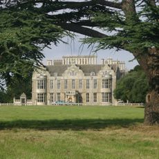
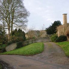
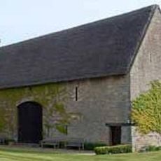
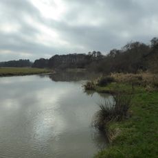
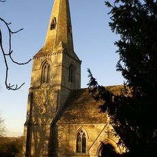
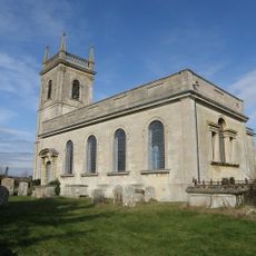
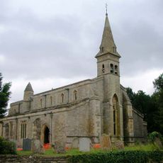
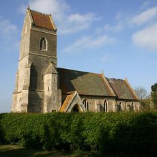
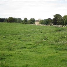
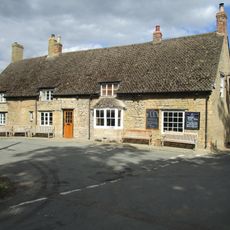
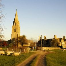
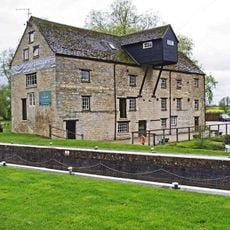
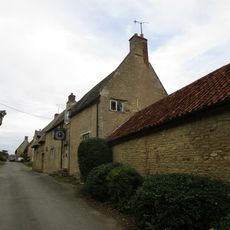
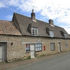
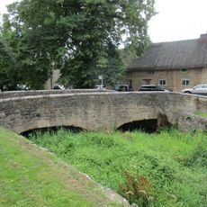
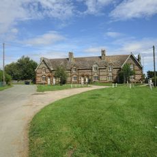
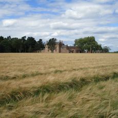
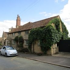
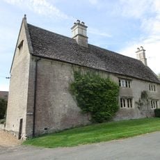
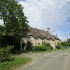
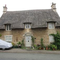
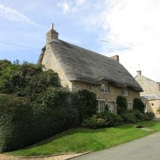
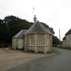
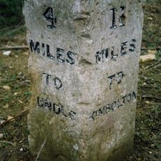
Lilford-cum-Wigsthorpe, civil parish in Northamptonshire, England
Posizione: North Northamptonshire
Parte di: Lilford-cum-Wigsthorpe and Thorpe Achurch
Coordinate GPS: 52.43755,-0.45982
Ultimo aggiornamento: 2 marzo 2025 alle 21:54
Barnwell Manor
1.9 km
Lilford Hall
2 km
Barnwell Castle
1.9 km
Thorpe Waterville Castle
3.1 km
Wadenhoe Marsh and Achurch Meadow
3.9 km
Church of St John the Baptist, Thorpe Achurch
2.7 km
Church of St Rumbald
3.7 km
Church of St James
3.8 km
Church of St Peter
3.8 km
Church of St Mary and All Saints
2.6 km
Church of St Andrew
1.7 km
27, Church Street
3.6 km
Bridge Approximately 75 Metres South Of Shuckburgh Arms Public House
3.8 km
Montague Arms Public House
1.6 km
Manor House
2.6 km
Barnwell Mill Restaurant
3.7 km
The Kings Head Public House And Attached Outbuilding
3.7 km
Wadenhoe Post Office
3.7 km
Bridge Approximately 10 Metres West Of The Montague Arms Public House
1.6 km
1-6, The Green
3.7 km
North Lodge Farmhouse
2.5 km
Parkers Patch
1.6 km
Manor Farm House And Attached Outbuilding
3.7 km
11 And 12, The Green
3.7 km
Shangrila
3.6 km
16, Main Street
3.6 km
South Lodge
3.6 km
Milestone, NE of B662 jct
1.4 kmHa visitato questo luogo? Tocchi le stelle per valutarlo e condividere la Sua esperienza o foto con la community! Provalo ora! Puoi annullarlo in qualsiasi momento.
Scopri tesori nascosti ad ogni viaggio!
Da piccoli caffè caratteristici a panorami nascosti, fuggi dalla folla e scova i posti che fanno davvero per te. La nostra app ti semplifica tutto: ricerca vocale, filtri furbi, percorsi ottimizzati e dritte autentiche da viaggiatori di tutto il mondo. Scaricala subito per vivere l'avventura sul tuo smartphone!
Un nuovo approccio alla scoperta turistica❞
— Le Figaro
Tutti i luoghi che meritano di essere esplorati❞
— France Info
Un’escursione su misura in pochi clic❞
— 20 Minutes