
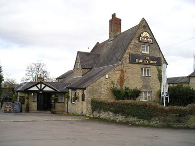
The Barley Mow Public House, pub in Cosgrove, South Northamptonshire, Northamptonshire, UK
Posizione: Cosgrove
Coordinate GPS: 52.07583,-0.84534
Ultimo aggiornamento: 27 marzo 2025 alle 02:18
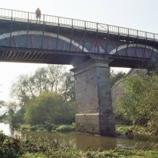
Cosgrove aqueduct
1.1 km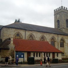
Parish Church of St Mary and St Giles
2.2 km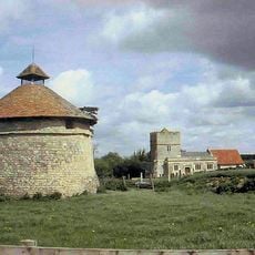
Furtho
2 km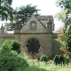
Holy Trinity Church
1.7 km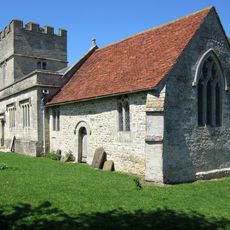
St Bartholomew's Church, Furtho
2 km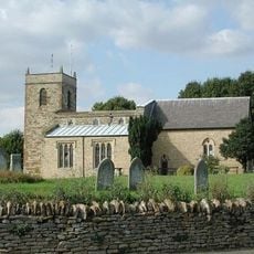
Church of St Simon and St Jude
2 km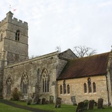
Church of St Peter and St Paul
182 m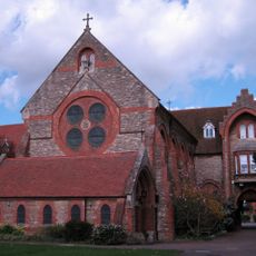
Former St Anthonys Franciscan Preparatory School
2 km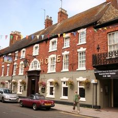
The Cock Hotel
2.1 km
The Carrington Arms Public House
2 km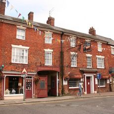
The Bull Hotel
2.1 km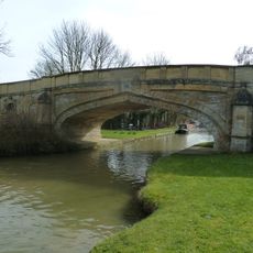
Bridge Number 65
185 m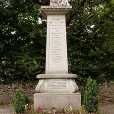
Castlethorpe War Memorial
2.1 km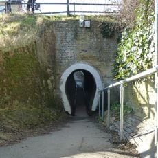
The Horse Tunnel
60 m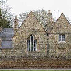
Former School And School House
1.9 km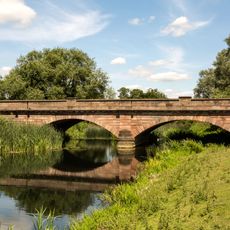
Bridge Over River Ouse (That Part In Old Stratford Civil Parish)
1.9 km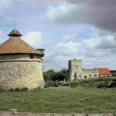
Dovecote At Manor Farm
2 km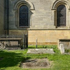
Two Chest Tombs To The South Of The Nave Of The Church Of The Holy Trinity
1.7 km
Wolverton Castle
1.7 km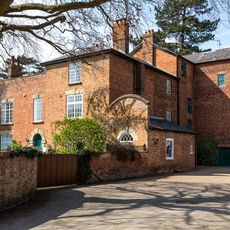
Old Wolverton Mill
1.5 km
Outbuildings At Manor Farm To North And East Of Manor Farm House
1.7 km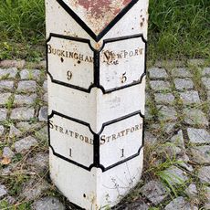
Milepost, Stratford Road; Wolverton Mill, by Wolverton Park, opp. Mill End, 100m W of double mini-roundabout
1.9 km
Manor Farm House
1.7 km
Tower House
2.1 km
Remains of the church and churchyard of St Mary Magdalen
2 km
Longueville Court
1.7 km
Motte and bailey castle, deserted village and monastic grange at Old Wolverton
1.6 km
Wolverton Park
1.8 kmRecensioni
Ha visitato questo luogo? Tocchi le stelle per valutarlo e condividere la Sua esperienza o foto con la community! Provalo ora! Puoi annullarlo in qualsiasi momento.
Scopri tesori nascosti ad ogni viaggio!
Da piccoli caffè caratteristici a panorami nascosti, fuggi dalla folla e scova i posti che fanno davvero per te. La nostra app ti semplifica tutto: ricerca vocale, filtri furbi, percorsi ottimizzati e dritte autentiche da viaggiatori di tutto il mondo. Scaricala subito per vivere l'avventura sul tuo smartphone!

Un nuovo approccio alla scoperta turistica❞
— Le Figaro
Tutti i luoghi che meritano di essere esplorati❞
— France Info
Un’escursione su misura in pochi clic❞
— 20 Minutes