
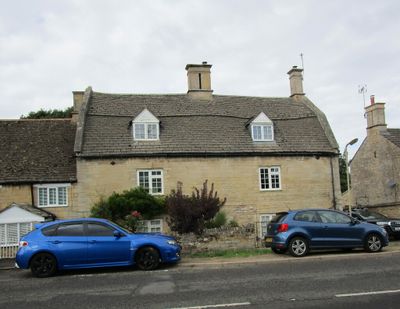
11, Stamford Road, building in Weldon, Corby, Northamptonshire, UK
Posizione: Weldon
Indirizzo: 11, Stamford Road, Weldon, Corby, Northamptonshire, NN17
Coordinate GPS: 52.49654,-0.63489
Ultimo aggiornamento: 6 aprile 2025 alle 02:22
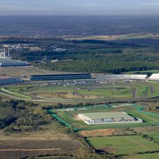
Circuito di Rockingham
2.6 km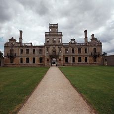
Kirby Hall
3.1 km
Cowthick Quarry
1.6 km
Church of St Mary the Virgin
271 m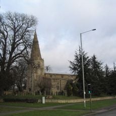
Church of St John the Baptist
3 km
Church of St Peter
3.1 km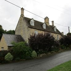
20, Church Street
356 m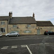
The Woolpack Public House
55 m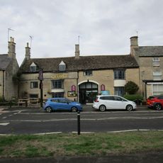
The George Hotel And Restaurant
35 m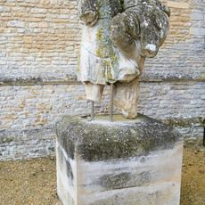
Statue Approximately 120 Metres East Of Garden Front Of Kirby Hall
3 km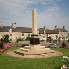
Weldon War Memorial, Northamptonshire
77 m
Kirby Hall: an Elizabethan country house and gardens and the remains of the medieval village of Kirby
2.9 km
Group Of Kerbstones In Forecourt, Kirby Hall
3.1 km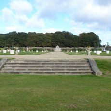
Steps Approximately 60 Meteres South West Of Garden Front Of Kirby Hall
3 km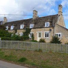
Sunnydene
3.5 km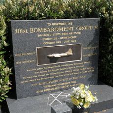
401st Bombardment Group USAAF Memorial, Deenethorpe
3.2 km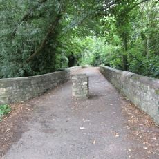
Causeway
188 m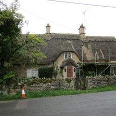
The Old Rectory Lodge
366 m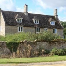
Home Farmhouse
3.4 km
The Rosary
94 m
75 And 77, High Street
3.2 km
27, High Street
111 m
9, 10 And 11, School Lane
95 m
57, High Street
3.3 km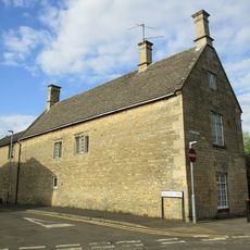
The Old School House And Attached Studio
3.2 km
Corby War Memorial
3.1 km
Weldon Lodge
1.9 km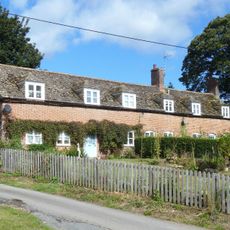
13 And 15, Main Street
3.5 kmRecensioni
Ha visitato questo luogo? Tocchi le stelle per valutarlo e condividere la Sua esperienza o foto con la community! Provalo ora! Puoi annullarlo in qualsiasi momento.
Scopri tesori nascosti ad ogni viaggio!
Da piccoli caffè caratteristici a panorami nascosti, fuggi dalla folla e scova i posti che fanno davvero per te. La nostra app ti semplifica tutto: ricerca vocale, filtri furbi, percorsi ottimizzati e dritte autentiche da viaggiatori di tutto il mondo. Scaricala subito per vivere l'avventura sul tuo smartphone!

Un nuovo approccio alla scoperta turistica❞
— Le Figaro
Tutti i luoghi che meritano di essere esplorati❞
— France Info
Un’escursione su misura in pochi clic❞
— 20 Minutes