
Knocking Wall At High Sharnberry Lead Mine, wall in Eggleston, County Durham, UK
Posizione: Eggleston
Coordinate GPS: 54.67711,-1.98420
Ultimo aggiornamento: 14 marzo 2025 alle 01:06
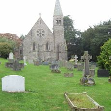
Church of Holy Trinity
7.8 km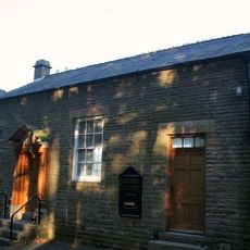
Eggleston Baptist Church
7.3 km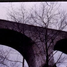
Blackton Bridge Over Eggleston Burn
6.8 km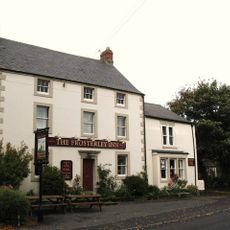
The Frosterley Inn
5.9 km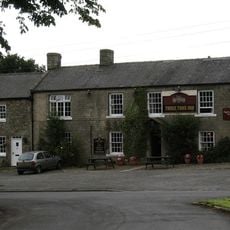
Three Tuns Hotel
7.6 km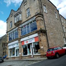
Co-Operative Stores
7.8 km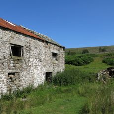
Marl Beck Mine Shop And Level
6.7 km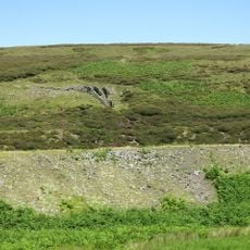
Bouse Hoppers 100 Metres North Of Great Eggleshope Beck
3.6 km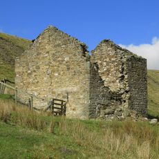
Former Explosives Store At South Side Of Track
7.4 km
Mellbutts Bank
5.7 km
Numbers 1 - 4 Consecutive And Stables Attached
7.9 km
The Rectory
7.8 km
Coach House North Of The Rectory
7.8 km
Milestone Circa 100 Metres West Of Track To Heather Lea
7.3 km
Milestone Circa 150 Metres North West Of Burn Bridge
7.6 km
Trustees Savings Bank
7.8 km
Milepost About 15 Metres East Of Junction To Road To Bondisle Way
7.5 km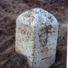
Milestone Circa 300 Metres East Of Junction With Billy Lane
7.8 km
Stable 4 Metres East Of Mine Shop
7.3 km
Former Farmhouse To West Of Snowhope Close Farmhouse
7.7 km
Shield Ash Farmhouse
6.7 km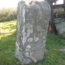
Boundary Stone
6.2 km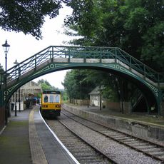
Footbridge Over Railway Line
7.5 km
Milestone 200 Metres East Of Track To Stanhope Gate
7.7 km
The Curatage And House Adjoining On West
7.8 km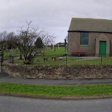
Woodland War Memorial
7.6 km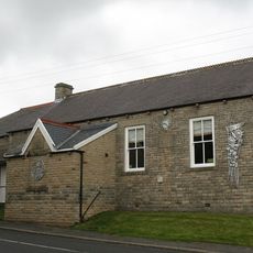
Eggleston Village Hall
7.5 km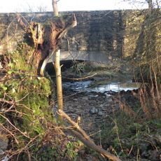
Egglesburn Bridge
7.8 kmRecensioni
Ha visitato questo luogo? Tocchi le stelle per valutarlo e condividere la Sua esperienza o foto con la community! Provalo ora! Puoi annullarlo in qualsiasi momento.
Scopri tesori nascosti ad ogni viaggio!
Da piccoli caffè caratteristici a panorami nascosti, fuggi dalla folla e scova i posti che fanno davvero per te. La nostra app ti semplifica tutto: ricerca vocale, filtri furbi, percorsi ottimizzati e dritte autentiche da viaggiatori di tutto il mondo. Scaricala subito per vivere l'avventura sul tuo smartphone!

Un nuovo approccio alla scoperta turistica❞
— Le Figaro
Tutti i luoghi che meritano di essere esplorati❞
— France Info
Un’escursione su misura in pochi clic❞
— 20 Minutes