
781-189, London Road, building in East Malling and Larkfield, Tonbridge and Malling, Kent, UK
Posizione: East Malling and Larkfield
Indirizzo: 781-189, London Road, East Malling and Larkfield, Tonbridge and Malling, Kent, ME20
Coordinate GPS: 51.29841,0.44143
Ultimo aggiornamento: 23 agosto 2025 alle 15:43
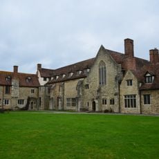
Aylesford Priory
2.1 km
Leybourne Castle
1.6 km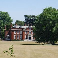
Bradbourne House
384 m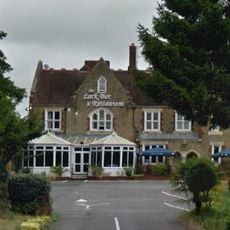
Larkfield Priory Hotel
250 m
Church of St James
1.2 km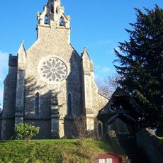
Church of the Holy Trinity
890 m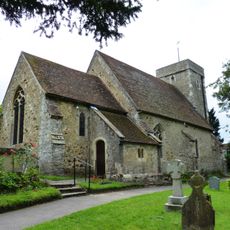
St Peter's Church
728 m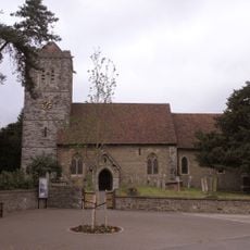
Church of St Peter and St Paul
1.5 km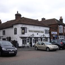
Five Pointed Star Public House
2.4 km
West Malling Library
2.3 km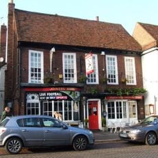
The Joiners Arms Public House
2.3 km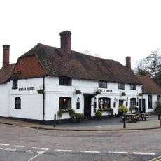
The King And Queen Public House
1.2 km
The Bull Public House
2.2 km
Bear Hotel
2.4 km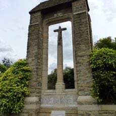
Ditton War Memorial
965 m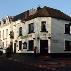
The Lobster Pot
2.2 km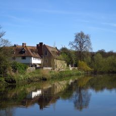
The Friars, Main Block
2.2 km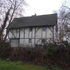
The Barracks
2 km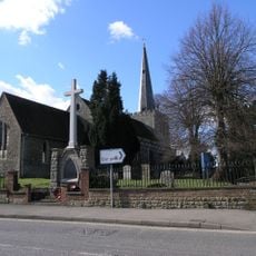
West Malling War Memorial
2.5 km
Aylesford Signal Box
1.8 km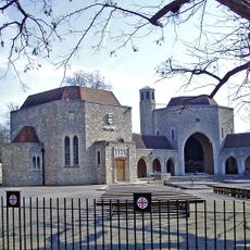
Gatehouse And Walls To The North And East Of The Friars
2.2 km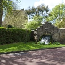
The Cascade
2.1 km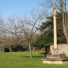
East Malling War Memorial
1.2 km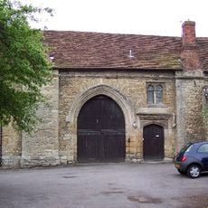
Gatehouse And Chapel To St Mary's Abbey
2.2 km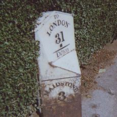
Milepost On A20 London Road At Ditton, Kent
1.2 km
Milepost At Ngr Tq6998558314
315 m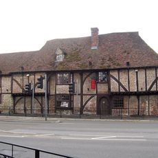
The Wealden Hall Restaurant
48 m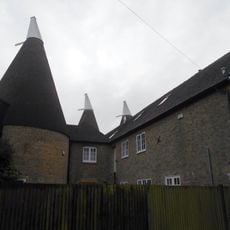
Broadwater Farm Oasthouses
2.2 kmRecensioni
Ha visitato questo luogo? Tocchi le stelle per valutarlo e condividere la Sua esperienza o foto con la community! Provalo ora! Puoi annullarlo in qualsiasi momento.
Scopri tesori nascosti ad ogni viaggio!
Da piccoli caffè caratteristici a panorami nascosti, fuggi dalla folla e scova i posti che fanno davvero per te. La nostra app ti semplifica tutto: ricerca vocale, filtri furbi, percorsi ottimizzati e dritte autentiche da viaggiatori di tutto il mondo. Scaricala subito per vivere l'avventura sul tuo smartphone!

Un nuovo approccio alla scoperta turistica❞
— Le Figaro
Tutti i luoghi che meritano di essere esplorati❞
— France Info
Un’escursione su misura in pochi clic❞
— 20 Minutes