
Former Goods Station Warehouse, building in Newcastle upon Tyne, Tyne and Wear, UK
Posizione: Newcastle upon Tyne
Coordinate GPS: 54.96602,-1.61813
Ultimo aggiornamento: 9 marzo 2025 alle 05:18
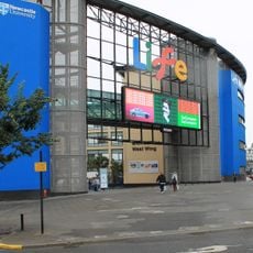
Centre for Life
227 m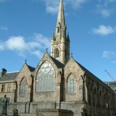
Cattedrale di Santa Maria
353 m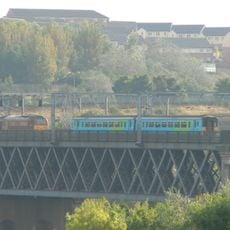
King Edward VII Bridge
337 m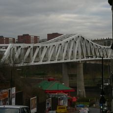
Queen Elizabeth II Metro Bridge
319 m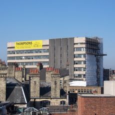
Westgate House, Newcastle upon Tyne
388 m
Milecastle 4
438 m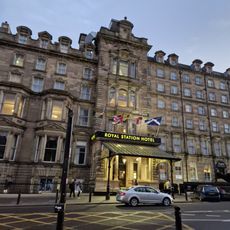
Royal Station Hotel
395 m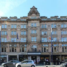
The County Hotel
402 m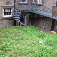
Gunner Tower
377 m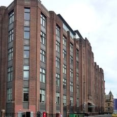
Alfred Wilson House
428 m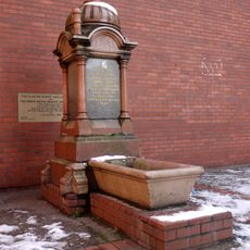
Grainger Memorial Fountain
385 m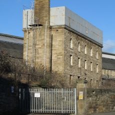
Water Tower South Of Central Station
168 m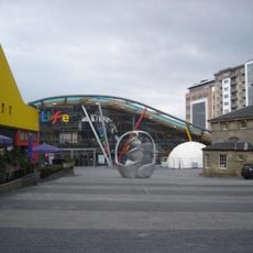
Former Market Keeper's House
261 m
Forth House
394 m
Bewick House
373 m
Former coppersmiths shop and warehouses with offices attached
231 m
Town Wall North Of The Close And Breakneck Stairs
328 m
Motorail Terminal
281 m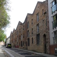
Bonded Warehouses
291 m
Barclays Bank
348 m
1 Neville Street
281 m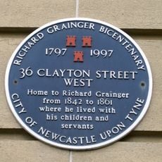
26-36, Clayton Street West
376 m
55 And 57, Westgate Road
437 m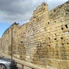
Newcastle upon Tyne town defences: section of curtain wall and town ditch between Forth Street and Hanover Street
328 m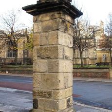
Gate Pier Of The Old Grammar School
443 m
53, Westgate Road
435 m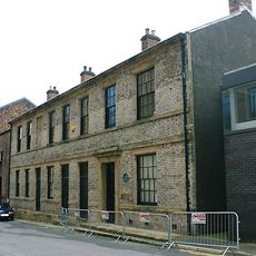
Number 20 And Building To Rear (number 18 Now Demolished)
217 m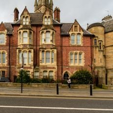
Presbytery Attached To Cathedral Of St Mary
331 mRecensioni
Ha visitato questo luogo? Tocchi le stelle per valutarlo e condividere la Sua esperienza o foto con la community! Provalo ora! Puoi annullarlo in qualsiasi momento.
Scopri tesori nascosti ad ogni viaggio!
Da piccoli caffè caratteristici a panorami nascosti, fuggi dalla folla e scova i posti che fanno davvero per te. La nostra app ti semplifica tutto: ricerca vocale, filtri furbi, percorsi ottimizzati e dritte autentiche da viaggiatori di tutto il mondo. Scaricala subito per vivere l'avventura sul tuo smartphone!

Un nuovo approccio alla scoperta turistica❞
— Le Figaro
Tutti i luoghi che meritano di essere esplorati❞
— France Info
Un’escursione su misura in pochi clic❞
— 20 Minutes